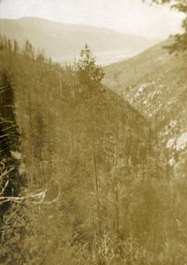
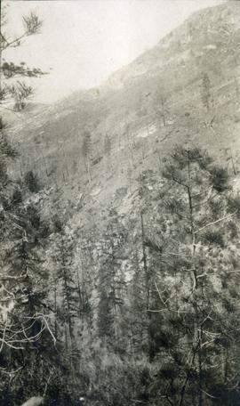
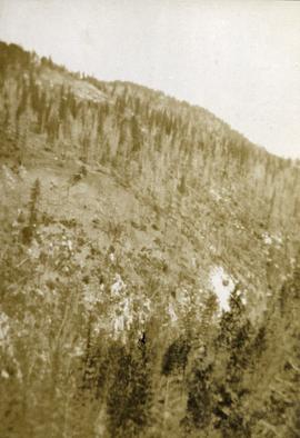
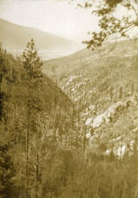
File consists of an original copy of the Nechako Fisheries Conservation Program Project Report entitled "Nechako and Stuart Rivers Chinook Spawner Enumeration 1990 Data Report" by R.J. Beniston.
Photograph depicts two men standing on a snowy creek bank, freshly fallen snow is on the trees nearby.
Photograph depicts a view from the water looking toward buildings on the shore and mountains in the distance.
Photograph depicts two men and a dog standing in a grassy field at Duck Creek in front of a forested landscape with a mountain range in the background.
File consists of clipping, notes, and reproductions relating to the Natural Resources Security Company, the company was responsible for a land-selling campaign, selling lots for the townsite to later be Central Fort George, which was owned and ran by George John Hammond in Fort George. Includes: "The sales campaign of George J. Hammond and the Natural Resources Security Company" typescript research essay by Anna Bumby (30 Apr. 1981); "Fort George and its tributary territory" photocopied article from British Columbia Magazine (1912); "Facts, what British Columbia offers you" reproduction of a pamphlet produced by the Natural Resources Security Company, Ltd. (1910); and reproduced excerpts from an unidentified pamphlet issued in 1912 by the Natural Resources Security Company, Ltd.
Item is a photocopied excerpt from an issue of "The Forestry Chronicle" entitled "Natural Reproduction Following Fires in Central British Columbia" by E.H. Garman.
Photograph depicts a narrow ocean passage between two rocky points. There are snow peaked mountains in the distance.
Photograph depicts a cannery on pilings with a body of water in the foreground with a forested area in the background.
Photograph depicts a cannery on wood pilings with several other buildings along a forested shoreline with a body of water and boat in the foreground.
File contains four maps of the Aleza Lake Research Forest showing locations of Permanent Sample Plots in partial cut timber sales.
File contains the following data sets:
- Phytolith contents.xls [phytolith content in 5-20 µm silt, tallied by morphological categories; also summarized as % of total soil fine (< 2 mm) fraction]
- M-K (2001) soil LOI data.pdf [LOI (loss-on-ignition) data for sampled soil horizons – proxy measurement for organic matter content]
Photograph depicts looking across a muskeg meadow.
File consists of original and photocopied reports relating to the Mt. Robson park area. Includes:
- "Mt. Robson Park Moose Survey", Feb. 1982
- Grant Hazelwood, "Winter Flight Report", Mar. 1982
- David Stirling, "An Annotated List of Birds of Mount Robson Provincial Park", Sept. 1970
- Grant Hazelwood, "Park Reserve for Holiday Creek Site", Aug. 1974 (includes original photographic prints within)
- Rob Butler, "Mt. Robson Wildlife from Naturalist's Report", 1972
Item is an original report by Grant Hazelwood entitled "Mt. Assiniboine Park Trip, August 19-22, 1974". Includes original print photographs pasted into the report. The objective was to sample the lakes fishery at the south and north ends of the park and to examine some grizzly bear habitat on the Simpson River and examine the condition of guiding cabins in the same area.
Footage of mountains, spring flowers, a white robin, a butterfly, and eagles flying. Footage of men, believed to be Elsey's sons-in-law, in a rubber raft fishing on a river. Also footage of Robson's Deer.
Locations are speculated to be either Bella Coola River or Dean River, Atnarko area, Bella Coola Valley, Chilcotin area, Paradise Valley or the Rainbow Mountains.
Photograph depicts a view looking across an expanse of water toward treed mountains with snowy peaks.
Photograph depicts an expanse of water, on the shore are low treed hills and snow peaked mountains in the distance.
Photograph depicts snowy mountain tops viewed from the forest and valley floor.
Photograph depicts a meadow in the foreground, trees in the midground and sparsely treed hills in the background.
Item is a photocopied "Mountain Goat Surveys in the Tatlatui, Spatsizi and Mt. Edziza Provincial Park Areas, British Columbia" report by David F. Hatler (Wildeor) and W.G. Hazelwood (Alpenglow Resources).
Item is a "Mountain Goat Surveys in Spatsizi Wilderness Park" report by David F. Hatler (Wildeor) and W.G. Hazelwood (Alpenglow Resources) containing photocopied and original pages. Includes original photographic prints pasted into the report.
File consists of an original "Mount Klappan Anthracite Project" document by Gulf Canada Resources Ltd. Includes accompanying map entitled "Gulf Canada Resources Inc.: Northwest British Columbia" that shows proposed coal mine sites in the Mount Klappan area, near Spatsizi Wilderness Park and Tatlatui Provincial Park.
File consists of an original "Mount Klappan Access Road Study" proposal for consulting services to the BC Ministry of Industry and Small Business Development by Phillips Barratt Kaiser Engineering Ltd. in association with Associated Engineering (B.C.) Ltd.
Item is an original "Mount Edziza Park Wildlife Report: An Argument for Nature Conservancy Status" report by W.G. Hazelwood, Parks Biologist. Includes original photographic prints pasted into the report. Also includes an accompanying "Mt. Edziza Wildlife Survey" from October 13, 1979.
File consists of Canada – U.S.A. Trade M.O.U. Correspondence, 1986.
Photograph depicts looking down Morrissey Creek Valley to Kettle River.
Photograph depicts looking down on a sparsely forested mountainside.
looking down steep forested valley.
Photograph depicts sparse vegetation near Grand Forks, BC
Photograph depicts a view of a hillside near Morrissey Creek near Grand Forks BC.
Photograph depicts a steep sparsely forested slope with a view to a wider valley beyond.
Photograph depicts a view looking toward the mountain top up a sparsely forested steep mountain slope.
File consists of a copy of a reprint from the Canadian Journal of Civil Engineering (vol. 6, iss. 1) entitled "Morphological Effects of Interbasin River Diversions".
Footage of man holding up and examining a moose head trophy in winter.
Possible locations include the Chilcotin region, Rainbow Mountains or Tweedsmuir Provincial Park.
Item is a photograph of a copy print, resulting in a low quality photographic reproduction. Reproduced as a print, slide, and a negative. Location of original photograph is unknown.
Large-format map depicts the Monkman Public Sustained Yield Unit (PSYU) and Tree Farm Licence 30 east of Prince George.
Large-format map depicts the Monkman Public Sustained Yield Unit (PSYU) east of Prince George.