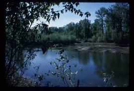
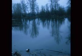
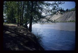
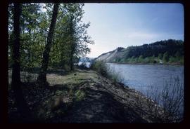
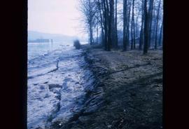
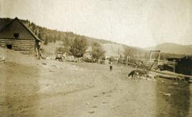
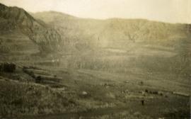
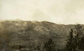
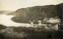
Image depicts what is possibly a small section of the Nechako River on Cottonwood Island.
Image depicts a body of water in Island Cache. It is possibly a small section of the Nechako River.
Image depicts the Nechako River on Cottonwood Island.
Image depicts the Nechako River from Cottonwood Island.
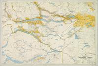
Item is an original map depicting the Nechako River and Isle Pierre in British Columbia.
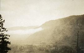
Photograph depicts a view from a high hill, looking down on the Nechako river. There is forest and low rolling hills in the background.
Photograph depicts a view from a high hill looking down on the Nechako river. There is forest and low rolling hills in the background.
Image depicts the bank of the Nechako River at Island Cache.
Photograph depicts a view of the Nechako River, BC.
Colour-coded topographic map depicts surveyed lands alienated, available for purchase or lease under Land Act, and available for pre-emption. Depicts land districts, land recording districts, provincial forests, parks, triangulation stations, communities, bodies of water, transport routes, and communication lines.
File contains slides depicting places in Nelson.
Image depicts New Aiyansh.
File consists of notes, clippings, and reproductions relating to a New Caledonia theme for the Heritage Society of British Columbia Seventh Annual Conference. Includes: "New Caledonia: The Frontier Yesterday and Today" typescript document by Garvin Moles and Kent Sedgwick (June 1985) and "Horizon 2" journal publication vol. 24 no. 2 (1986).
Photographs depict construction of the new mill, each taken from approximately the same distance and featuring two different angles of the building. Construction work progresses from framework to sheeting and siding. Vehicles, piles of building supplies, and a construction trailer are often in foreground, mountains in background. It is believed that these photographs were taken during a labour dispute. Each photo has been annotated on recto with the date and time of day, and some document the number of workers on site. Annotations include: "2 days work", "work gets less & less", "not much for 4 men", "very little done - less than usual low performance", "0° - 20° weather must have thickened their blood".
Photograph depicts eighteen or more canvas tents scattered on the river shore next to rough cabins and an outhouse.
Image depicts what is possibly the community of Newlands, B.C.
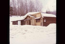
Image depicts an old building that was possibly once a gas station in the community of Newlands, B.C.
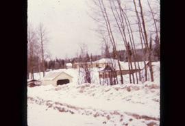
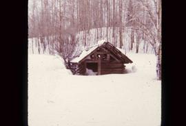
Image depicts an old shack buried in snow, possibly in Newlands, B.C.
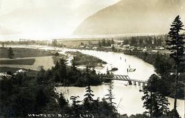
Photograph depicts a view of Squamish, which was named Newport between 1911-1914. This photograph was taken from the Squamish Smoke Bluffs, looking south. Mamquam River blind channel visible in foreground.
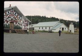
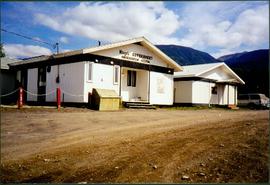
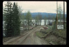
Photograph depicts two white buildings, one with the sign "Nisga'a Government Administration building". Road in foreground, vehicles and hills in background.
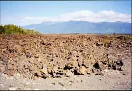
Photograph depicts what appears to be a lava bed, see item 2008.3.1.22.33.
Image depicts Noralee, B.C.
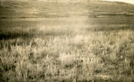
Photograph depicts a close up view of the range grass.
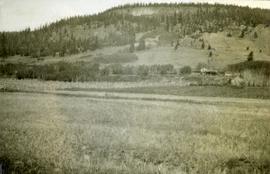
Photograph depicts an open field with a fence. There is a house in the midground and low sparsely treed hills in the background.
Photograph depicts a view of a barn, house, fences and cattle on Norman Lee's ranch.
Photograph depicts a view of open range land in the foreground and rocky bluffs in the background.
A collection of postcard photographs of Port Essington BC, Port Simpson BC, Atlin, Quesnel, McBride, Hagwilget Village, Giscome, Likely, Kitwanga, Smithers, Prince Rupert BC, Prince (Fort) George BC Images depict street scenes, water scenes, community events, businesses, buildings, and aerials of the towns. Collection also depicts a number of Northern BC paddle wheelers.
Photograph depicts looking north and south in North Fork from above Boulder creek.
Photograph depicts looking north and south in North Fork from above Boulder creek.
Photograph depicts looking north and south in North Fork from above Boulder creek.
Item is a hand drawn and coloured map by the City of Prince George Planning Department depicting North Nechako neighbourhood area existing land use in 1976.
Item is a hand drawn and coloured map by the City of Prince George Planning Department depicting the North Nechako and Hart neighbourhood area proposed land use in 1976.
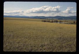
Image depicts a field north of Dog Creek in the upper Fraser Canyon.
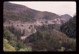
Image depicts numerous power lines and a road somewhere north of Squamish.
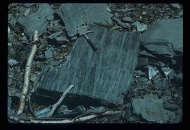
Image depicts phyllite, a type of metamorphic rock, on the north shore of Takla Lake.
File contains slides depicting areas along the North Thompson Highway.
Item is an original 1980 map depicting travel and recreation across northwestern British Columbia, published by the Canadian Cartographers Ltd. in Coquitlam, BC.
File consists of notes and reproductions relating to "Northern Approaches to New Caledonia" lecture conducted by Kent Sedgwick, relating to the article he wrote on "Crossing the Divide: Northern Approaches to New Caledonia". File predominantly contains Kent Sedgwick's handwritten notes and notes and transparent sheets of film depicting various maps of northern British Columbia. File also contains photographs depicting various maps (Oct. 2002).
The collection consists of an assortment of cartographic materials concerning Northern B.C. Included are topographic maps, pre-emptor’s and preliminary maps, physiographic maps, and resource (geological, game, etc.) maps.
Photographs within this file document stern wheelers operating in Northern BC from ca. 1901 - 1915.
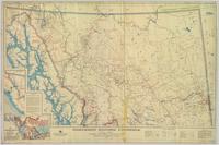
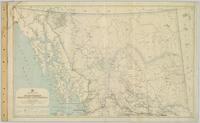
Regional map depicting communities, parks, customs posts, airports, radio stations, hatcheries, bodies of water, transport routes, communication lines, elevation points, and lines of batholith contacts. Includes an inset of St. Elias Mountains. Includes “Special Note on the Mineralization of this Map Area” from Bureau of Mines, Victoria, B.C.
Regional map depicting land recording divisions, communities, bodies of water, transport routes, elevation, and lighthouses.
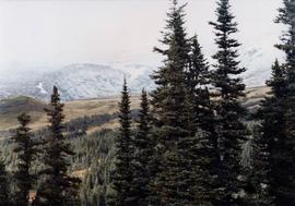
Photograph depicts a landscape scene in northern British Columbia in an unknown location.
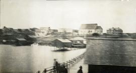
Photograph depicts a small coastal village in northern British Columbia.
Photograph depicts the view to the northwest from the site of the terminal building at the Rainbow Lake Ski Club.
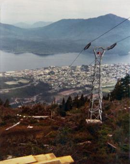
Image depicts the Northwood Pulpmill in Prince George, B.C. taken from above the Nechako River looking east. Map coordinates 53°56'00.0"N 122°44'29.7"W
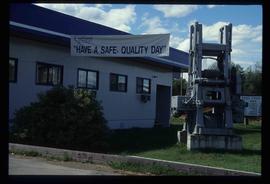
Image depicts the office at the Northwood Upper Fraser Saw Mill and a sign which reads "Have a safe, quality day." Map coordinates 54.117916, -121.943351
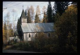
Image depicts the Oblates of Mary Immaculate Catholic Church in Aleza Lake, B.C. Map coordinates 54°07'08.2"N 122°02'00.0"W
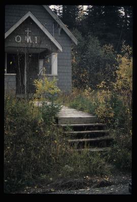
Image depicts the Oblates of Mary Immaculate Catholic Church in Aleza Lake, B.C. Map coordinates 54°07'08.2"N 122°02'00.0"W
