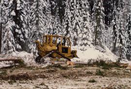
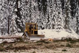
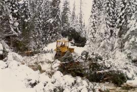
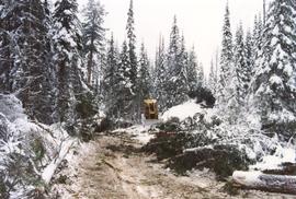
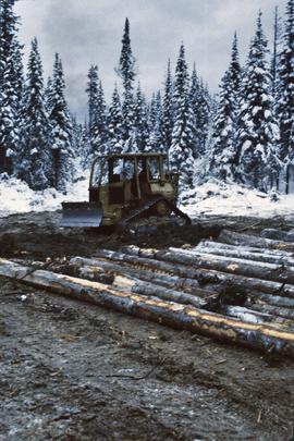
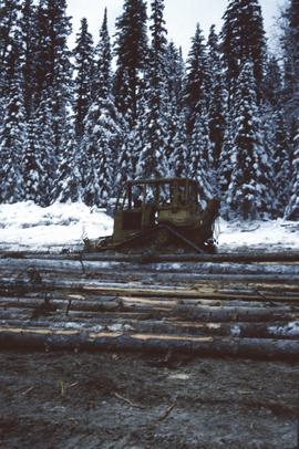
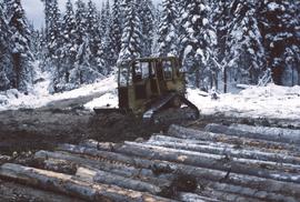
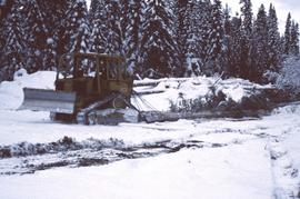
File consists of "Creating a Balance: Sustainable Resource Management in British Columbia" created by the Integrated Resource Management Business Group.
Photograph depicts two men and two dogs resting near a wooden rowboat stopped along the shoreline of upper Osilinka River near Swiggums mining claims.
Photograph depicts a full length image of (presumably) one of Holland's survey crewmen.
File consists of research and communications regarding the purchase of the Criterion 400 laser gun to measure the height of trees. File includes articles, memos, notes, and correspondence. File also includes the Criterion 400 Survey Laser: Operator's Guide.
File consists of promotional information about the Criterion Series lasers.
Photograph depicts a lofty view of a winding river, forest in the foreground, rolling forested hills in the background.
Photograph depicts a looking through trees to a view of a river, forested low hills in the background.
Item is an original report by Grant Hazelwood and Steve Head regarding "Crooked River Fisheries and Wildlife". Includes one original photographic print pasted into the report. This project was aimed at improving the recreational use of the Crooked River and it's adjoining corridor.
Photograph depicts five men standing in a field of cut hay. Some men are holding scythes, buildings, forest and rolling hills in background.
Photograph depicts 5 men in a field using scythes to cut grain.
Photograph depicts two men navigating a small raft across the waters of Babine Lake, BC. Low mountains in the distance. [55th parallel]
Photograph depicts a snowy mountain slope with a rocky ridge in the background. Two men and five horses are traversing across the snowy slope.
Photograph depicts a long line of horses with packs traveling toward the photographer on a snowy mountain pass.
Photograph depicts three men and five horses traversing through the snow. The men are on foot leading the horses.
Photograph depicts four men pulling a long canoe across a clearing on a wheeled trailer.
Photograph depicts crossing summit between John Brown and Kitseucla creeks. Survey of 55th parallel.
Caption describing photograph: "Crown form."
File consists of C.S. Shirvell's Brief to the B.C. Utilities Commission Review Panel regarding the Kemano Completion Project's effect on the Nechako River.
File consists of Alderdice's resumes from 1990 and 1994. The 1990 resume was an exhibit referred to in Alderdice's affidavit for the Nechako court action.
Photograph depicts a cut section of a hillside with a forested area visible in the background.
Original photographic print included in "Northern Interior Forest Experiment Station: Report of Preliminary Investigations" by Percy Barr. Caption states: "Note openings made in stand."
Photograph depicts a steamship anchored near the shore of the river. Three or more people are working in a large pile of driftwood on the shore.
File contains set of images taken in Faro, Y.T. Annotation on photo envelope reads: “Visit to / CYPRUS ANVIL / FARO Y.T. / SEPT 1975 / BY DALE CARIN / R. WILSON.” Images depict the pit mine operated by Cyprus Anvil Corporation, including a grader, ore hauling truck (likely a Wabco), an explosives transport truck, and unidentified equipment including an electrical utility box and some type of rotating wheel in the mill building.
File consists of directions and maps to specific sites. File also includes data tables.
Annotation on photograph verso: "D-4 tracked skidder. 15/1/92. Summit Lake Selection Trial"
Annotation on photograph verso: "D-4 tracked skidder at Start of B Road. 15/1/92. Summit Lake Selection Trial"
Annotation on photograph verso: D-4 tracked skidder at "Start of B Road. 15/1/92. Summit Lake Selection Trial"
Annotation on slide: "Summit Lake D4H highdrive"
Annotation on slide: "Summit Lake D4H highdrive skidder"
Annotation on slide: "Summit Lake D4H highdrive"
Annotation on slide: "Summit Lake D4H on skid road"
Annotation on slide: "Summit Lake, D4H on narrow skid road".
Annotation on slide: "Summit Lake, D4H skidding logs".
Annotation on photograph verso: "D6 grapple skidder used for road development only. 27/12/91. Summit Lake Selection Trial"
File consists of copy of data published in unknown source. Includes daily discharge and water level data for Nechako and Fraser Rivers.
File consists of notes, clippings, and reproductions relating to dairying and dairy farming in Prince George. Includes material on Harry Moffat; cattle in Mud River; Mr. Hewlett and Centralia Dairy (established in 1923); Interior Creamery, located at the corner of Brunswick and First Avenue; and pasteurization.
Attached description: An extensive program of development was undertaken for the new Skeena Kraft mill water supply. Dams were constructed to improve storage in the several lakes supplying the water; these are primarily, Diana, Prudhomme and Rainbow. This picture shows the large dam constructed on Diana Lake. A 78-inch wood stave pipeline was built, and now supplements the 48-inch pipeline that served the existing sulphite mill. Enough water is transported to supply a city of more than 100,000 population.
File consists of a photocopy of a report prepared by consultants Karl English and T. Webb entitled "Data Assessment and Definition of a Chinook Production Model for the Nechako River".
Data sets associated with the Cluculz retrospective study (E.P. 886.10):
- 082036.xls -- Elemental analysis (XRF) for mineral horizon samples from profile at Cluculz EP 886.10 site
- CLUCINC.xls -- Summary chemical properties for composite samples in aerobic incubation
- Cluculz Ck 2002 Foliar Analysis.xls -- Analyzed for individual single-tree plots
- Cluculz Ck 2002 Forest Floor.xls -- Forest floor mass data
- Cluculz composite list (2003 samples).xls -- Composite groups (3 original samples in each) used for organic & mineral soils
- Cluculz composite list (incubation experiment).xls -- Composite groups (3 original samples in each) used for organic & mineral soils
- Cluculz composite list for incubations (2003 samples).xls -- Composite groups (3 original samples in each) used for organic & mineral soils
- Cluculz Creek S mineralization - initial fractions (2).xls -- S fractions - organic & mineral soil composites
- Cluculz Creek S mineralization - initial S fractions.xls -- S fractions - organic & mineral soil composites
- Cluculz Creek S mineralization (IC).xls -- S mineralization data for aerobic incubation - organic & mineral soils
- Cluculz foliar and soil data.xls -- Chemical properties of foliage, composite forest floors, composite mineral soils
- Cluculz pH.xls -- pH - organic & mineral soil composites
- Cluculz S fraction graphs.xls -- S fractions - organic & mineral soil composites
- Elemental Analysis of Standard by XRF (2005).xls -- Published & XRF analysis of CANMET TILL-1 soil standard (used in Cluculz XRF analysis)