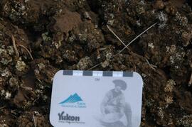
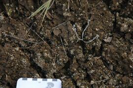
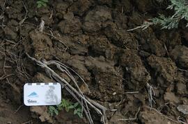
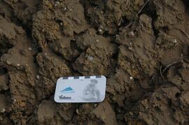
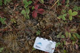
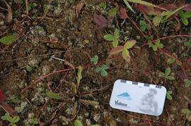
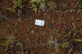
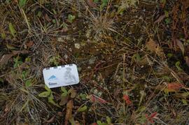
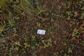
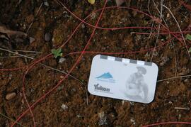
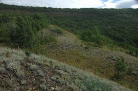
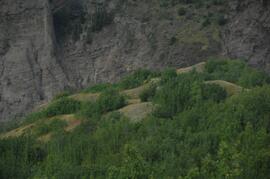
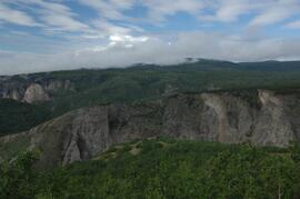
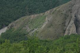
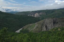
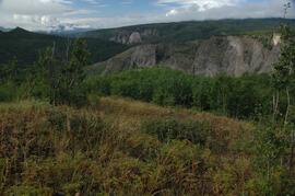
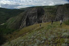
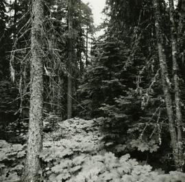
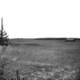
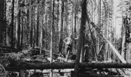
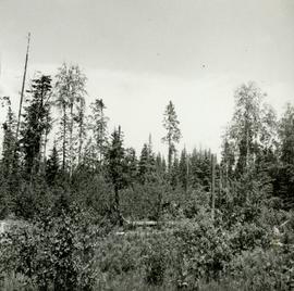
This document contains pedon descriptions for sites BC07-03 & BC07-04 for Sanborn's comparative study of grassland soils in the Boreal Cordillera ecozone.
This document contains location and vegetation notes for 5 observation sites for Sanborn's comparative study of grassland soils in the Boreal Cordillera ecozone.
This document contains transcribed August 2007 field notes from 5 observation sites for Sanborn's comparative study of grassland soils in the Boreal Cordillera ecozone.
File consists of correspondence and reports relating to Tweedsmuir Provincial Park. Includes:
- Correspondence from the Steelhead Society of British Columbia to the Ministry of Environment and Parks "Re: Tweedsmuir Park boundaries" (Apr. 1987)
- Ministry of Environment and Parks documents regarding a Tweedsmuir Park Master Plan open house event
- Letter from Grant Hazelwood of the B.C. Wildlife Federation to the Ministry of Environment and Parks "Re: Tweedsmuir Master Plan" (Apr. 1987)
- "Tweedsmuir Park Planning Issues" document (ca. 1987)
- "Tweedsmuir Flight Report October 26, 1978" original report by Grant Hazelwood
Item is an original "Tweedsmuir Park Initial Wildlife & Fisheries Inventory" by W.G. Hazelwood. Includes original photographic prints pasted into the report.
Item is an original "Tweedsmuir Provincial Park Background Document" by the British Columbia Parks and Outdoor Recreation Division Northern B.C. Region.
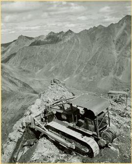
Photograph depicts unknown men driving bulldozers on edge of mine area at high elevation. Dozers are Internationals, model TD24 (manufactured between 1947 and 1955). Mountain range in background.
Photograph depicts unknown men driving bulldozers on edge of mine area at high elevation. Dozers are Internationals, model TD24 (manufactured between 1947 and 1955). Valley and mountain range in background.
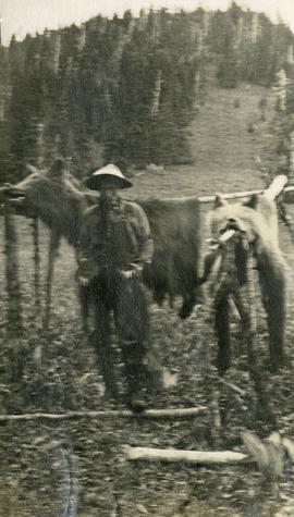
Photograph depicts skins of two grizzlies, heads attached. The skins are spread on elevated poles, a man stands beside the bear skins. There is an alpine meadow and scrub trees in the background.
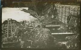
Possibly depicts the construction of a fish ladder.
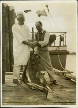
Photograph depicts one man is wearing a hospital gown and on well dress man peughing a large halibut on a dock. A boat is tied to dock in the background. Handwritten annotation in pencil on verso reads: “Halibut Mamaculla”
Photograph depicts two unidentified men at high elevation on mountain. Trucks and tanks visible in background, hose (possibly of air track drill) in right foreground. Mountain range in background.
Photograph depicts two unidentified men on road or mining bench at high elevation on mountain, valley in background.
Handwritten annotation on recto of photograph: "Bill Giachino & 'Sam' June 1970 / #4 / 74% / by Tom Kiefer".
Photograph depicts two men seated in front of a row of hanging fish.
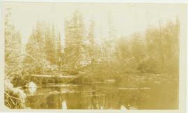
Photograph depicts two unidentified men standing beside a log pile on the edge of a river that flows alongside a forested landscape. Annotation on verso of photograph reads: "Logs skidded ready to float down to mill, Germansen Placer Ltd."
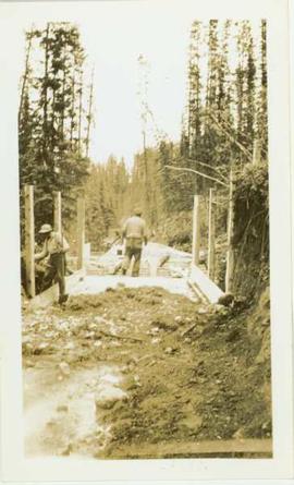
Photograph depicts two unidentified men working on a wooden flume located in a forested landscape. Handwritten annotation on verso of photograph states: "flume".
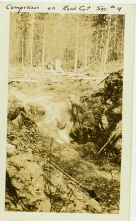
Photograph depicts two unidentified men working on the side of a rocky cut in a wooded landscape. Handrwitten annotation on recto of photograph: "compressor on rock cut sec. #4"
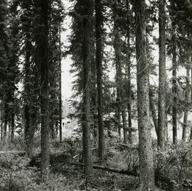
Caption describing photograph: "Typical bark form. 9.3" DBH"
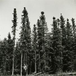
Caption describing photograph: "Typical of general opinion of growth and form of Black Spruce. Associated with poorly drained saucer shaped terrain. Organic soil developed over impervious clay. Ht 35', 5-7" DBH age 120 years. Prince George Airport Road." Harry Coates stands in the photograph for scale.
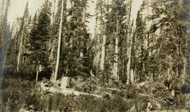
Caption describing photograph: "Typical Devils Club site, imperfectly drained silty clay. West Branch Road, F.E.S. Aleza Lake."
Caption describing photograph: "Typical of extensive cultivation of Bednesti silty loams and silt in Wright Creek and Salmon River Area. Forage crops, seed timothy, grains and root crops. Much of lacustrine deposits within 20 mile radius have this potential."
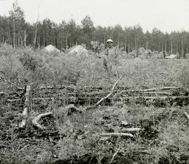
Photographer's photo number R883. Caption on back of photograph states: "Typical patch of old windfall in cutting in X9696."
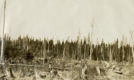
Caption describing photograph: "Typical residual after clear cutting and scarifying. West Branch, F.E.S. Aleza Lake. (Strip 1N SE Cor). Residual stems damaged B understory, occasional poor quality Spruce. Old growth birch generally with complete cover of alder (15') Thimbleberry and AD."
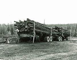
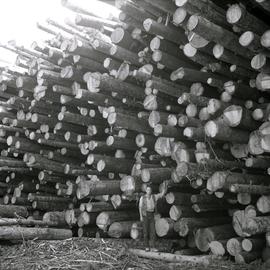
Caption describing photograph: "Typical Spruce-Balsam tree length logs from mature Spruce-Balsam types. T.F.L. 29 at Giscome S/M/." Harry Coates stands in the photograph for scale.
Original photographic print included in "Northern Interior Forest Experiment Station: Report of Preliminary Investigations" by Percy Barr.
Caption describing photograph: "Typical young aspen and Willow cover over the area now in seedling or transplant beds. Hand pulled, rough broken, rooted prior to plowing (by inmate crews April 1966)."
During a year away from studies in 1987-88, Dr. Paul Sanborn developed a successful grant proposal to the Science Council of BC (SCBC) to pursue a postdoctoral project with Dr. Tim Ballard in relation to sulphur-deficient soils in BC and prescribed fire. This project built on an existing broadcast burning study conducted by Macmillan Bloedel Ltd. near Port Alberni on Vancouver Island, led by Bill Beese (later at Vancouver Island University). Dr. Sanborn's work addressed sulphur forms and amounts in the soils at these sites, and the chemical processes influencing sulphur availability in relation to prescribed fire.
Only one part of this work was eventually published:
Sanborn, P.T. and T.M. Ballard. 1991. Combustion losses of sulphur from conifer foliage: Implications of chemical form and soil nitrogen status. Biogeochemistry 12: 129–134.
https://doi.org/10.1007/BF00001810
The remainder of the work was documented in the Project Completion Report to SCBC, dated February 28, 1990.
Thirty-four of the accompanying project data files were selected for archival retention.
File consists of a conference paper by Weller titled "UNBC and the Development of Northern British Columbia." This file was originally numbered to correspond with conference paper number 78 listed in Weller's CV.
File consists of a booklet prepared for the May 9, 2002 UNBC/UBC Aleza Lake Research Forest Field Tour.
File consists of photographs taken by Paul Sanborn during the May 9, 2002 UNBC/UBC Aleza Lake Research Forest Field Tour for UNBC and UBC faculty members.
Original photographic print included in "Northern Interior Forest Experiment Station: Report of Preliminary Investigations" by Percy Barr.
