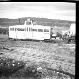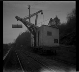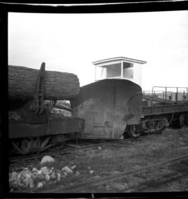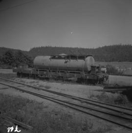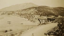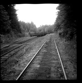
2013.6.36.1.051.20
·
Item
·
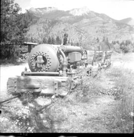
[16 June 1972]
Part of David Davies Railway Collection
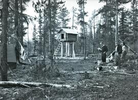
Photograph depicts sidings for empty log cars about a quarter of a mile south of the diamond crossing. Image captured looking south, towards the Ladysmith yards. The running line is visible on the right side of the photograph and was used week by a daily log train, consisting of a deisel locomotive and 20 cars.