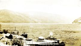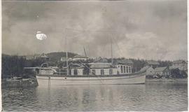
2009.7.1.162
·
Item
·
[ca. 1910]
Part of Archdeacon W. H. Collison fonds
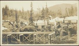
Warf construction visible in foreground. Background consists of a few built structures and several tents, location unidentified.