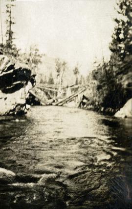
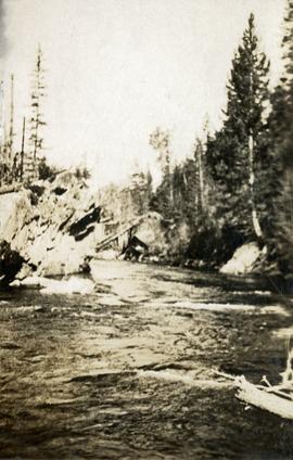
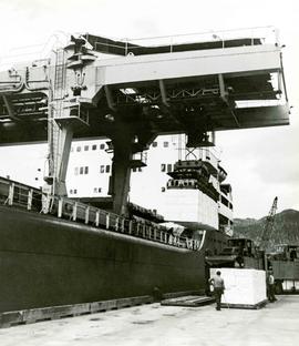
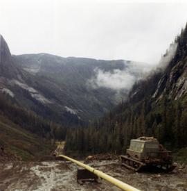
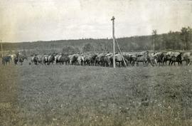
2000.1.1.3.17.009
·
Item
·
1962
Part of Cassiar Asbestos Corporation Ltd. fonds
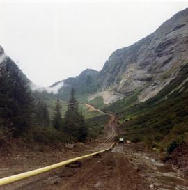
Photograph depicts tramline in a strip cleared of trees on McDame Mountain, bucket in foreground. Handwritten annotation on recto of photograph: "#2 SECTION LOOKING NORTH". Photograph was glued to cardboard backing with the annotation: "1962".