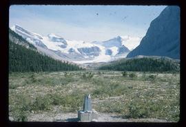
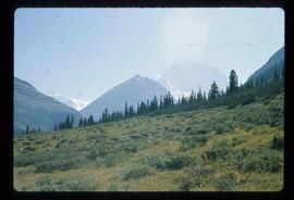
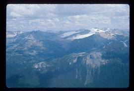
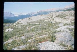
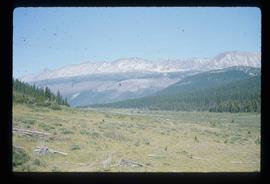
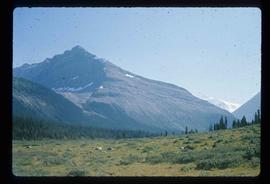
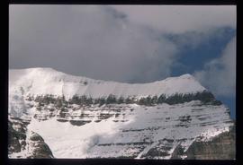
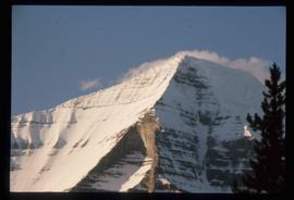
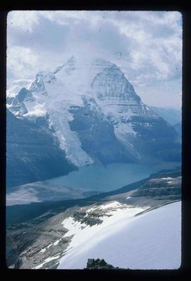
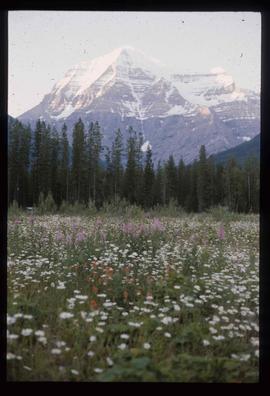
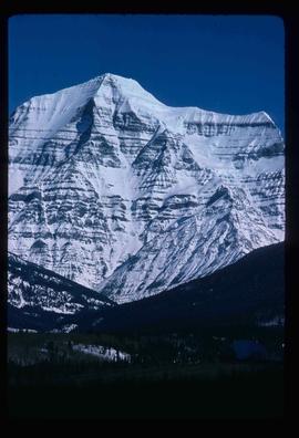
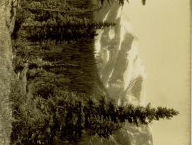
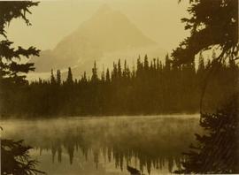
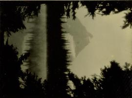
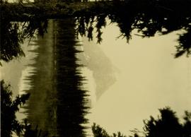
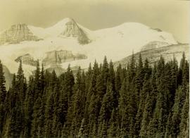
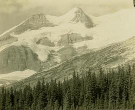
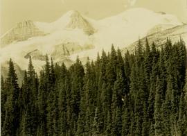
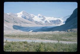
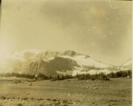
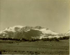
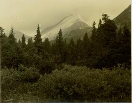
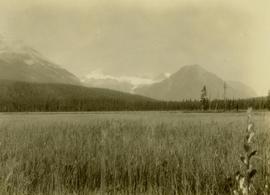
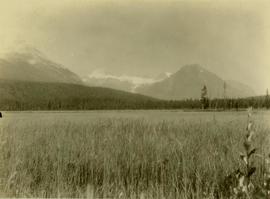
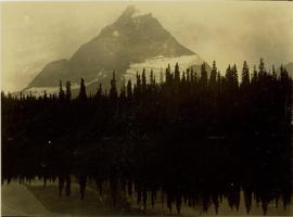
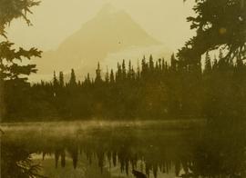
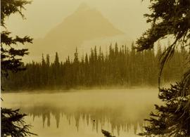
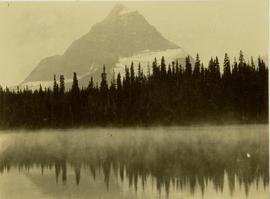
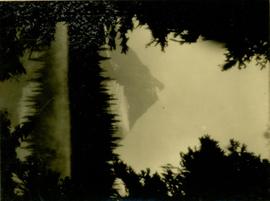
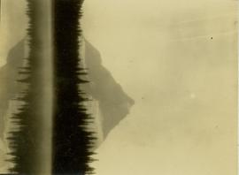
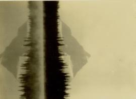
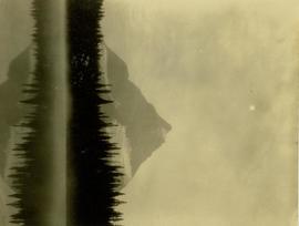
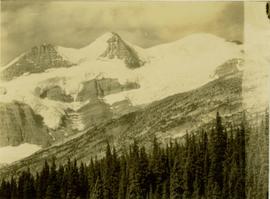
Image depicts a glacier somewhere in Mt. Robson Provincial Park.
Image depicts a range of mountains in the Mt. Robson Provincial Park.
Image depicts a view of Mt. Robson Provincial Park.
Image depicts the peak of Mt. Robson.
Image depicts a view of the Berg Lake and Glacier on the slope of Mt. Robson.
Image depicts Mt. Robson.
Photograph depicts a winter landscape with Mt. Park and the Tipple visible.
Photograph depicts a winter landscape with Mt. Park visible.
Rivers also known as Jarvis Creek and McGregor River.
Barbara Lakes also known as Jarvis Lakes.
Mt. Gray is also known as Mt. Petrie.
Photograph depicts a view of Mt. Garibaldi, possibly from Brackendale.
Image depicts Mt. Fitzwilliam.
Photograph depicts Mount Begbie, noted by Wyness to be the highest point on the Cariboo Highway at mile 85. Mount Begbie is located at approximately 51°28'33''N, 121°22'00''W, on the east side of Cariboo Hwy, between 70 Mile House and 100 Mile House, in the Lillooet Land District. Wyness annotated this photograph with the statement that they "tied this one in"; 'tying in' is a land survey term, implying that the crew may have also been surveying in this area.
Item is an original report by Grant Hazelwood entitled "Mt. Assiniboine Park Trip, August 19-22, 1974". Includes original print photographs pasted into the report. The objective was to sample the lakes fishery at the south and north ends of the park and to examine some grizzly bear habitat on the Simpson River and examine the condition of guiding cabins in the same area.
Mrs. Stephanie Scholander and young Mabel Scholander posing for a photograph on a grassy ledge overlooking the river.
Photograph depicts Mrs. Murry wearing overalls and hat, seated on horse. A team of horses pulling wagon can be seen in background. Handwritten annotation on recto of photograph: "Mrs. Murray."
Group stands on path, field in background. Handwritten annotation on recto of photograph: "Mrs. H. McDonell & baby - Edward Nelson Bunker. Mrs. Bunker and little boy next oldest to the baby."
File contains article on life and death of Marion Collison and an excerpt from an editorial by Joyce Collison in BC Bookworld (1996) regarding the need to write the biography of Marion Collison.