2004.1.2.1.193
·
Item
·
ca. 1930
Part of Phipps-Mackenzie Collection
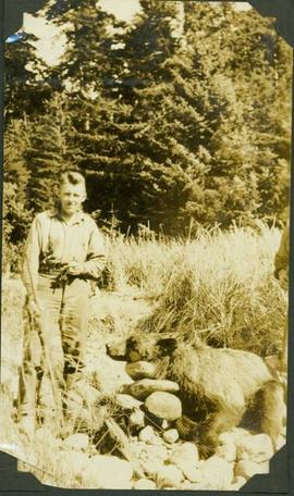
Item is a photograph of a hunter with rifle standing next to a dead grizzle bear propped up with large stones.