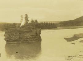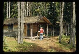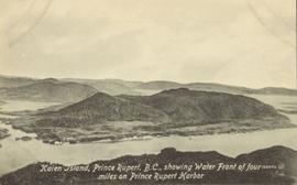
2009.6.1.309
·
Item
·
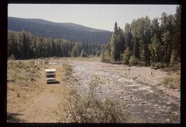
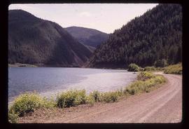
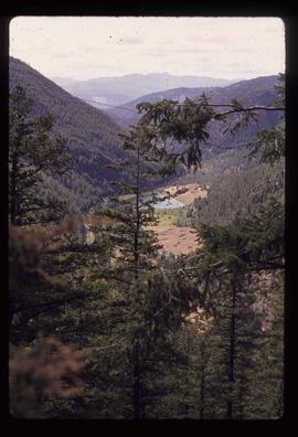
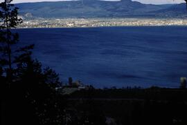
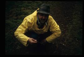
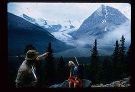
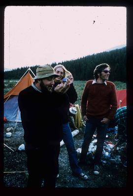
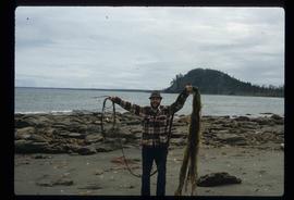
1978
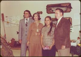
Part of The Honourable Iona Campagnolo fonds
Photograph was taken during a tour of the Skeena riding in the summer of 1978.
Handwritten annotation on verso reads: “Fisheries Museum Prince Rupert”.