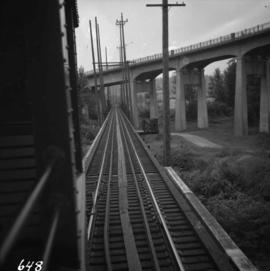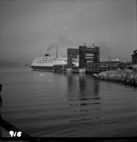
2013.6.36.1.013.32
·
Item
·
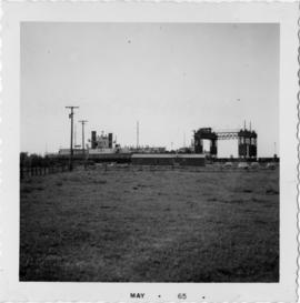
[May 1965]
Part of David Davies Railway Collection
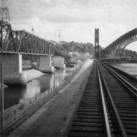
Photograph depicts the view of the Tilbury rail terminal on the south bank of the south arm of the Fraser River, 1 1/2 miles east of Deer Island Tunnel. S.S. Canora is also in the picture.