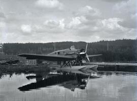
Photograph depicts a CF-ABK float plane on the water at Burns Lake. CF-ABK was a legendary bush plane nicknamed "Old Faithful". On the left of the photograph three men are resting on a pile of wood.
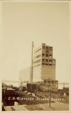
Photograph of a Canadian Grain elevator next to the railway in Prince Rupert, BC. Printed annotation on recto reads: "C.G. Elevator. Prince Rupert."
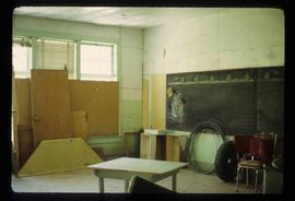
Image depicts a snowman drawn on the chalkboard of what appears to be an unused school, possibly in Lamming Mills, B.C. The slide is labelled "note board school."
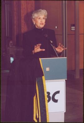
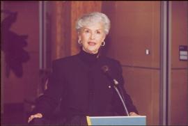
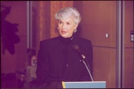
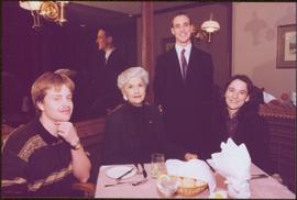
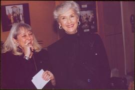
File consists of photographs of UNBC Chancellor Iona Campagnolo Appreciation Celebration 18 Jan. 1998.
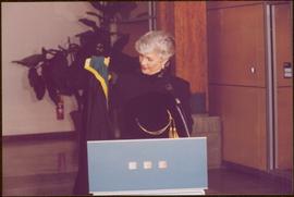
Chancellor’s regalia is draped over podium. Photograph taken at Chancellor's Farewell Appreciation Celebration held at the University of Northern British Columbia in Prince George, B.C.; see also items 2009.6.1.582 - 2009.6.1.590.
Photograph taken at Chancellor's Farewell Appreciation Celebration held at the University of Northern British Columbia in Prince George, B.C.; see also items 2009.6.1.582 - 2009.6.1.590.
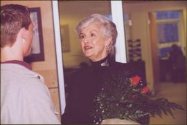
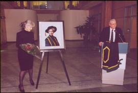
Campagnolo holds red roses. Photograph taken at Chancellor's Farewell Appreciation Celebration held at the University of Northern British Columbia in Prince George, B.C.; see also items 2009.6.1.582 - 2009.6.1.590.
Photograph taken at Chancellor's Farewell Appreciation Celebration held at the University of Northern British Columbia in Prince George, B.C.; see also items 2009.6.1.583 - 2009.6.1.590.
Photograph taken at Chancellor's Farewell Appreciation Celebration held at the University of Northern British Columbia in Prince George, B.C.; see also items 2009.6.1.582 - 2009.6.1.590.
Campagnolo stands, red roses in hand, while Dr. Charles Jago speaks at podium. Photograph taken at Chancellor's Farewell Appreciation Celebration held at the University of Northern British Columbia in Prince George, B.C.; see also items 2009.6.1.582 - 2009.6.1.590.
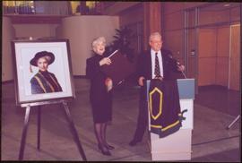
Campagnolo stands between her portrait and Dr. Charles Jago speaking at podium. Photograph taken at Chancellor's Farewell Appreciation Celebration held at the University of Northern British Columbia in Prince George, B.C.; see also items 2009.6.1.582 - 2009.6.1.590.
Photograph taken at Chancellor's Farewell Appreciation Celebration held in Prince George, B.C.; see also items 2009.6.1.582 - 2009.6.1.589.
Photograph taken at Chancellor's Farewell Appreciation Celebration held at the University of Northern British Columbia in Prince George, B.C.; see also items 2009.6.1.582 - 2009.6.1.590.
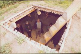
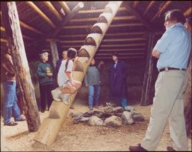
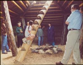
View from above; unidentified woman also visible with the group. Photograph taken during the chancellor's tour of Xats'ull Heritage Village, Soda Creek First Nation, Williams Lake, B.C.
Unidentified woman stands third from right, with arm raised. Photograph was taken during the chancellor's tour of Xats'ull Heritage Village, Soda Creek First Nation, Williams Lake, B.C.
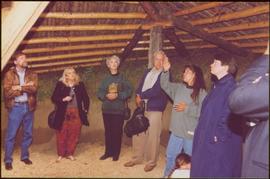
Two unidentified woman are also visible with the group, on far left and in centre with arm raised. Young girl sits on post in foreground. Photograph was taken during the chancellor's tour of Xats'ull Heritage Village, Soda Creek First Nation, Williams Lake, B.C.
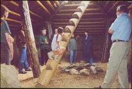
Unidentified women stands in centre background with arm raised, and a young girl sits on post in foreground. Photograph was taken during the chancellor's tour of Xats'ull Heritage Village, Soda Creek First Nation, Williams Lake, B.C.
Handwritten annotation on verso reads: "UNBC 1992".
Unidentified women stands in centre background with arm raised, and a young girl sits on post in foreground. Photograph was taken during the chancellor's tour of Xats'ull Heritage Village, Soda Creek First Nation, Williams Lake, B.C.
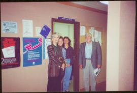
Chancellor Campagnolo stands with Founding Dean of the Faculty of Natural Resources and Environmental Studies Fred Gilbert in hallway, two unidentified women stand in doorway behind them. Photograph was taken during the chancellor's tour of the Peace-Liard Region, 1993.
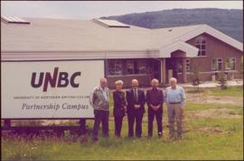
Chancellor Campagnolo stands with Chetwynd Mayor Charlie Lasser, President Geoffrey Weller, an unidentified man, and Fred Gilbert. Photograph was taken during the chancellor's tour of the Peace-Liard Region, 1993.
Handwritten annotation on verso reads: "chetwynd".
Chancellor Campagnolo stands with man believed to be the mayor of Tumbler Ridge, President Geoffrey Weller, and Dean Fred Gilbert. Photograph was taken during the chancellor's tour of the Peace-Liard Region, 1993.
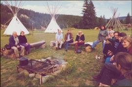
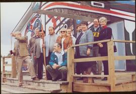
Left to right: Charles Jago and unidentified woman, David Fish, Dennis Macknak, Deborah Poff, unidentified woman and child, Iona Campagnolo, Lee Morrison, Ellen Facey, two unidentified women. Teepees visible in background. Photograph was taken during the chancellor's tour of Xats'ull Heritage Village, Soda Creek First Nation, Williams Lake, B.C.
Left to right: Chancellor Iona Campagnolo, Nick Petraryszak, Ellen Facey, unidentified woman and men. Mountains visible in background. Photograph taken during the Chancellor's 1996 regional tour through Atlin and Whitehorse; see also items 2009.6.1.578 - 2009.6.1.581.
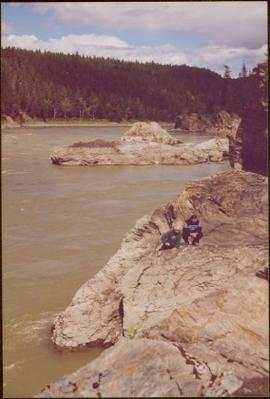
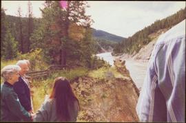
Handwritten notation affixed to verso reads: "Iona w/ Lee Morrison (late) director of First Nations Centre at that time. Soda Creek / net fishing for elders".
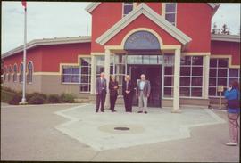
Photograph was taken during the chancellor's tour of Xats'ull Heritage Village, Soda Creek First Nation, Williams Lake, B.C.
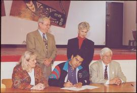
Photograph features UNBC Provost Deborah Poff, UNBC President Dr. Charles Jago, an unidentified man, Chancellor Iona Campagnolo and Reverend Ian MacKenzie signing papers. Photograph was taken during the chancellor's tour of Nass Valley, ca. 1992.
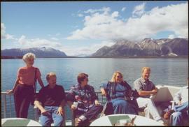
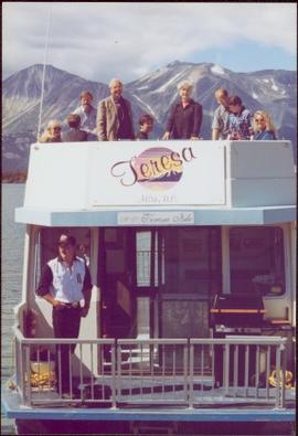
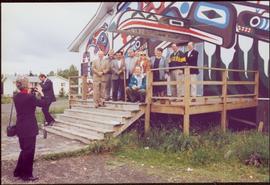
Left to right: Deborah Poff, Dennis Macknak, Charles Jago, an unidentified woman, Iona Campagnolo, an unidentified man, Ellen Facey, and an unidentified woman. Unknown man stands on lower deck in foreground. Mountains visible in background. Photograph taken during the Chancellor's 1996 regional tour through Atlin and Whitehorse; see also items 2009.6.1.578 - 2009.6.1.581.
Handwritten annotation on verso reads: "#3 Chancellor's Tour".
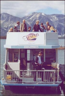
Left to right: Deborah Poff, Dennis Macknak, Charles Jago, an unidentified woman, Iona Campagnolo, Ellen Facey, Nick Petraryszak, an unidentified man, and an unidentified woman. Unknown man stands on lower deck in foreground. Mountains visible in background. Photograph taken during the Chancellor's 1996 regional tour through Atlin and Whitehorse; see also items 2009.6.1.578 - 2009.6.1.580.
Group features Charles Jago, Mike Hammar, Jacob McKay, Bert McKay, Deborah Poff, Alex Michalos, Dennis Macknak, Margaret Anderson, David Fish, Dean Doug Nord, Fred Beil, and Chancellor Iona Campagnolo. Photograph was taken during the chancellor's tour of Nass Valley, ca. 1992.
Group features Charles Jago, Mike Hammar, Jacob McKay, Bert McKay, Deborah Poff, Alex Michalos, Dennis Macknak, Margaret Anderson, David Fish, Dean Doug Nord, and Fred Beil. Photograph was taken during the chancellor's tour of Nass Valley, ca. 1992.
Chancellor Campagnolo stands with five unidentified Quick Start students, Fred Gilbert, and Nick Petraryszak. Photograph was taken during the chancellor's tour of the Peace-Liard Region, 1993.
Photograph was taken during the chancellor's tour of Xats'ull Heritage Village, Soda Creek First Nation, Williams Lake, B.C.
Photograph believed to have been taken during the Chancellor's 1996 regional tour through Atlin and Whitehorse; see also items 2009.6.1.579 - 2009.6.1.581.
Handwritten annotation on verso reads: “97, Whitehorse Tour, Page 3, Chancellor & President in Whitehorse, Chancellor’s Tour”.
File consists of photographs of UNBC Chancellor's Tour July 1993 of the Peace-Liard Region.
File consists of photographs of UNBC Chancellor's Tour 1996.
File consists of photographs of UNBC Chancellor's Tour 1997.
File consists of photographs of UNBC Chancellor's Tour of the Nass Valley, August 1995.
This fonds encompasses the planning career of Chander Suri. The head planner for the Regional District of Fraser-Fort George from 1969 to 1977, Chander Suri embarked on numerous community plan projects in the Prince George area. Suri also worked as an independent planning consultant for local businesses and organizations. Chander Suri's records encompass numerous urban and rural projects facilitating population and industry growth within the RDFFG that spanned beyond Suri's career.
Textual records comprise official and draft planning documents, development reports, planning proposals, contracts, published regulations, socio-economic studies of regions near Prince George, financial and other studies for development sites, illustrated promotional packages/proposals for developments, regional/provincial guides and standards, and correspondence relating to Suri's professional consulting activities. The fonds contains a wide array of maps, architectural plans, and technical drawings ranging from municipal planning layouts, industrial land developments, and private property (commercial and residential) development projects, mainly from in and around Prince George.
These records are relevant to researchers of the subjects of land use, land development and land planning issues in the Prince George and Fraser-Fort George Regional District in the second half of the 20th century.
Series include:
- Maps and Plans relating to development projects in British Columbia, predominantly in the Prince George area
- Lower Mainland Planning material from Suri's early career period
- Regional District of Fraser Fort George Planning records and resource material collected by Suri during his employment at the RDFFG
- Planning Consultancy records relating to Suri’s independent planning consultancy work in his later career period
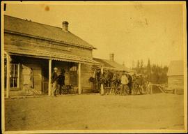
Photograph depicts four men standing near fully packed horse-drawn cart in front of wood buildings, including a long building with a porch and chairs. Trees on hill visible in background. Handwritten annotation on recto of photograph: "Changing teams on the Cariboo Road".
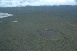
This image is part of the outbound sequence of aerial images obtained on the helicopter flight to the Klutlan Glacier study site. The sequence starts from the base camp at the White River crossing on the Alaska Highway and heads south, to a point just upvalley of the debris-covered terminus (approx. 10-15 km from Alaska border), and turning back north to the landing spot on the Generc River floodplain close to the study site (see Fig. 1 in paper).
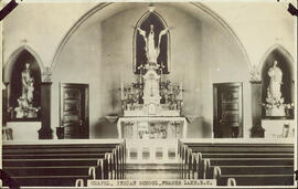
Interior photograph of a church. Printed annotation on recto reads: “Chapel, Indian school, Fraser Lake B.C.”
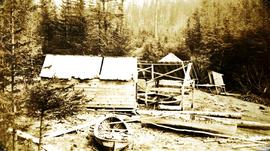
Photograph depicts a small shed constructed of lumber, three boats, with scattered logs and lumber. Handwritten annotation below photograph reads, "Charcoal Charley's Ship Yard"
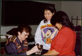
Photograph depicts Moran seated to left of two students presenting small knitted craft. Desk and chalkboard in background. Photograph was taken at session of Aboriginal Women's Training Program at the Cowichan Campus, Malaspina University College, in Duncan B.C. Handwritten annotation on recto of photograph: "Gifts from Charlene + Joanne Smith".
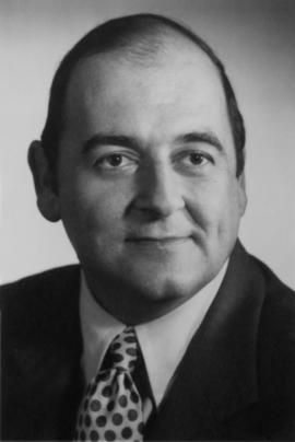
Photograph depicts a portrait of Charles V. Keating as attached to his resume for Director of Loto Canada.
Photograph depicts a long line of 30 or more horses or mules and men. The horses appear to be tethered to a rope, some animals are wearing packs. Several men attend.
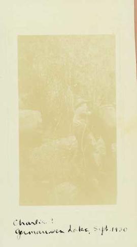
Photograph depicts two men emptying (?) a large barrel or bucket being hoisted in the air by a pulley at Germansen Lake.
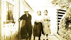
Photograph depicts a man and two women standing on a boardwalk next to a building. Handwritten annotation below photograph reads, " Native ladies and old Charley Ross".
The item is a photograph depicting the top left corner of the Buckhorn Parent-Teacher Association Charter affiliated with the British Columbia Parent-Teacher Federation. The charter contains a list of the members. Annotation on reverse side of photograph states, "1956." The second annotation is crossed out and states, "1956."
Photograph depicts "The Chasm" or "The Painted Chasm", located 11 miles north of Clinton, adjacent to the route of the Cariboo Road. In 1940, four years after this photograph was taken, Chasm Provincial Park was created in 1940 to preserve and promote the Painted Chasm feature, a gorge created from melting glacial waters eroding a lava plateau over a 10 million year span.
