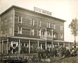
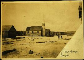
2010.13.25
·
Item
·
19 October 1911
Part of Prince George Historical Photograph Collection
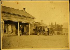
Photograph depicts large crowd gathered in front of three story building.
Printed annotation on recto of photograph: "CARIBOO STAGE AT SOUTH FT. GEORGE B.C. OCT 19 -1911".