2020.4.6.057
·
File
·
1983-1985
Part of G. Gary Runka fonds
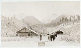
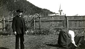
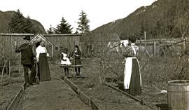
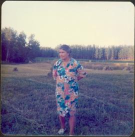
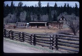
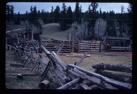
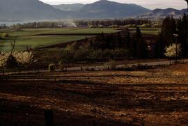
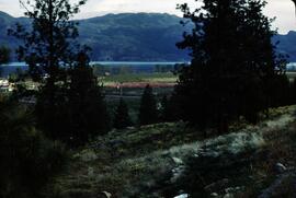
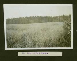
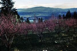
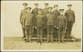
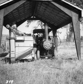
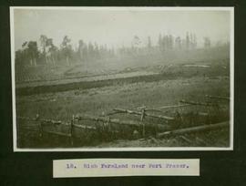
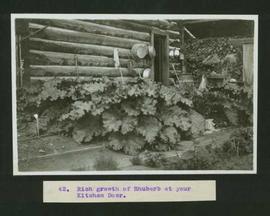
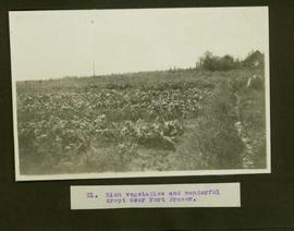
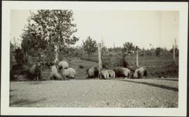
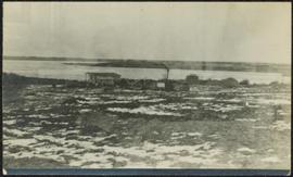
File consists of records created and accumulated by Gary Runka over the course of his consultancy work for BC Hydro for the "Capability Analysis and Land Use Concept Plan - West Arrow Park" project in West Arrow Park. This file was numbered as G.G. Runka Land Sense Ltd. client file #057; that client number may be seen referenced elsewhere in the G. Gary Runka fonds. The Land Sense Ltd. client files generally include records such as correspondence, contracts, invoices, project reports, publications, ephemera, memoranda, maps or map excerpts, legal documents, meeting materials, clippings, and handwritten notes. File also includes 12 accompanying aerial photographs.
Includes the following reports:
- Sigma Resource Consultants for British Columbia Hydro and Power Authority Land Division, "Assessment of Land Capability - Wigwam, Demars, West Arrow Park, Whatshan, Needles - Arrow Reservoir Region - Final Report", July 1975
- Sigma Resource Consultants for British Columbia Hydro and Power Authority Properties Division, "Arrow Reservoir Region Perspective on Resources and Settlement", 1979
- Sigma Resource Consultants for British Columbia Hydro and Power Authority Land Division, "Arrow Reservoir Region Regional Resource Study", October 1975
- G. G. Runka Land Sense Ltd. for B.C. Hydro Reservoir Land Management, "Explanatory Notes - West Arrow Park Land Disposal (Central Section) - Agriculture Unit Concept Plan", January 1985.
Maps include:
- "Composite Plan of Central Section (Between Mosquito Creek and Dixon Creek) of West Arrow Park", 22 Oct. 1984 - 2 copies, one annotated with overlay;
- "Columbia River Arrow Lakes Region: Edgewood to Nakusp", 2 Nov. 1964 - 6 different sheets showing differing mosaic units ;
- "Columbia River Development Arrow Lakes Relocation Programme: Middle Narrow - BC Hydro Needles x Nakusp 138 Kv Transmission Line Route Plan", n.d. - 2 copies;
- "BC Hydro Land Mosaic Columbia River Developments Arrow Project", March 1965 - 4 different sheets with annotations ;
- "Composite Sketch Plan of North Section (Glendevon Area) of West Arrow Park Area", n.d. ;
- "Part of Whatshan to Saddle Mountain Forest Service Road in the Arrow park-Glendevon Area";
- "BC Ministry of Forests Forest Cover Series 82-K-4-d";
- "West Arrow Park oversize printed aerial photograph map", ca. 1970.