Showing 17269 results

Archival description
2020.4.4.37 · File · 1974
Part of G. Gary Runka fonds

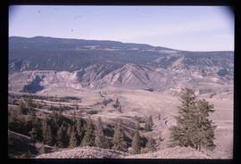
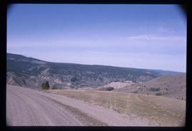
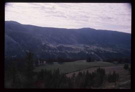
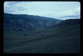
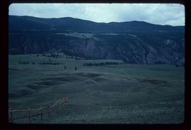
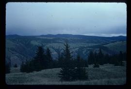
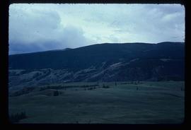
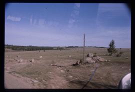
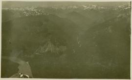
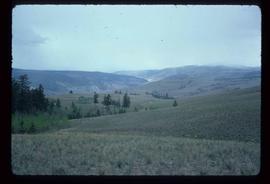
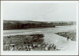
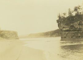
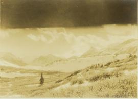
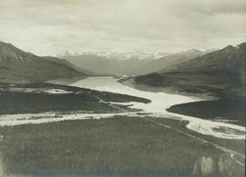
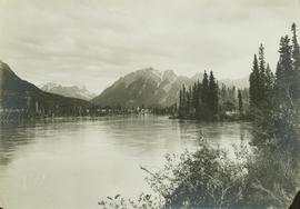
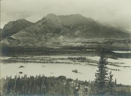
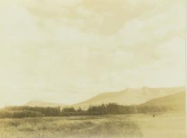
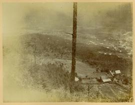
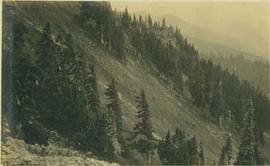
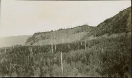
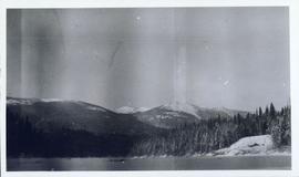
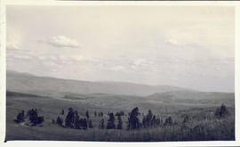
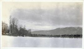
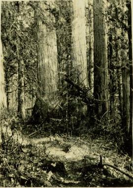
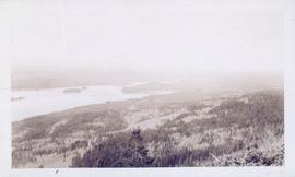
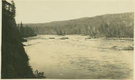
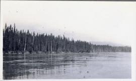
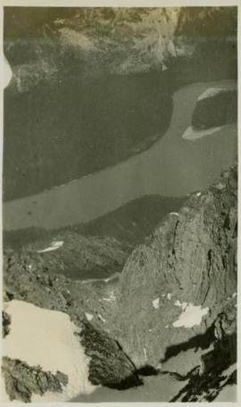
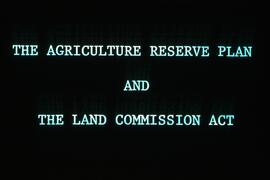
File consists of a 1973 BC Land Commission photographic slide and audio tape set entitled "Land Commission Act and the Agricultural Reserve Plan" that was used in original public hearings throughout the province. The 80 slides included with the presentation materials were created mostly by Gary Runka. The audio cassette is a recording of the presentation with speakers Bill Lane, BC Land Commission Chair, and Gary Runka, BC Land Commission General Manager.

Landscape
2012.13.1.65.48 · Item · [1976?]
Part of J. Kent Sedgwick fonds

Image depicts a view of a mountainous landscape at an uncertain location.

Landscape
2012.13.1.65.53 · Item · [1976?]
Part of J. Kent Sedgwick fonds

Image depicts a view of the landscape in an uncertain location, though possibly somewhere near the Fraser River.

Landscape
2012.13.1.65.56 · Item · [1976?]
Part of J. Kent Sedgwick fonds

Image depicts a view of the landscape in an uncertain location, though possibly somewhere near the Fraser River.

Landscape
2012.13.1.65.21 · Item · May 1975
Part of J. Kent Sedgwick fonds

Image depicts a view of the landscape of the Chilcotin Wildlife Area.

Landscape
2012.13.1.65.22 · Item · May 1975
Part of J. Kent Sedgwick fonds

Image depicts a view of the landscape of the Chilcotin Wildlife Area.

Landscape
2012.13.1.65.18 · Item · May 1975
Part of J. Kent Sedgwick fonds

Image depicts a view of the landscape of the Chilcotin Wildlife Area.

Landscape
2012.13.1.65.23 · Item · May 1975
Part of J. Kent Sedgwick fonds

Image depicts a view of the landscape of the Chilcotin Wildlife Area.

2000.19.2.19 · Item · 29 Aug. 1927-26 Sept. 1927
Part of Prentiss Gray Collection

Photograph depicts a flat, sandy shoreline along the Peace River with steep cliffs rising up in the distance. A steep island with trees on top is seen rising out of the Peace River.

Landscape perspective
2000.19.2.39 · Item · 29 Aug. 1927-26 Sept. 1927
Part of Prentiss Gray Collection

Photograph depicts an unidentified landscape view of the top of a forested area. Landscape is perhaps in the Moberly area.