2009.5.3.75
·
Item
·
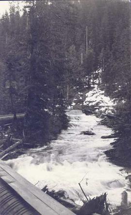
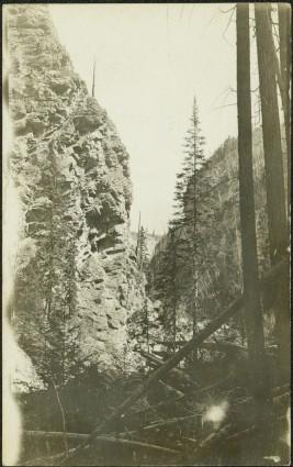
1912
Part of Taylor-Baxter Family Photograph Collection
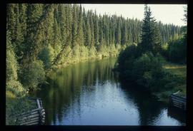
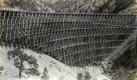
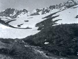
Photograph depicts creek barely visible at bottom of steep valley in cliffs. Trees and underbrush in foreground. It is believed that this photograph may have been taken near Mt. Robson. Handwritten annotation on recto of photograph reads: "Sand Creek."