2014.10.1.181
·
Item
·
1911
Part of Arthur Holland Land Surveying Collection
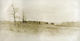
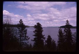
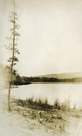
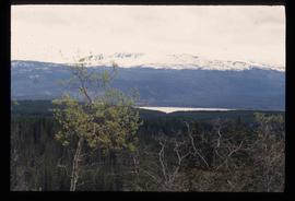
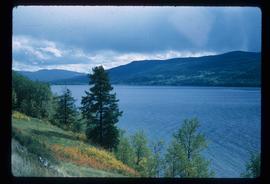
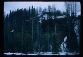
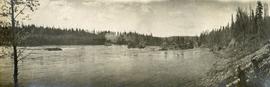
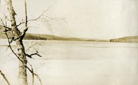
Photograph depicts a lake. Photograph is framed by a deciduous tree on the left. Forest and rolling hills in the background.