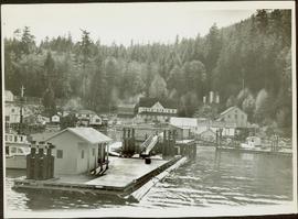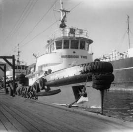
2013.6.36.1.002.122
·
Item
·
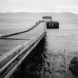
Apr. 1966
Part of David Davies Railway Collection
Photograph depicts a wharf at Lang Bay, 14 miles southeast of Powell River. In fair repair, now used only by an oil company to pump in oil to a storage depot behind the camera.