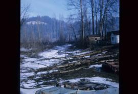
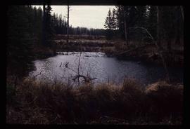
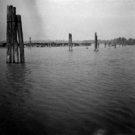
Image depicts some fallen trees at Island Cache.
File contains portraits and sample photographs of exposed asbestos fibre: in veins of rock outcrops, and loose in talus on McDame Mountain (location of Cassiar mine). Some photographs were printed in Cassiar's Annual Reports, with labels and descriptions.
Photographs within this file pertain to the early exploration of northern British Columbia.
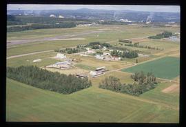
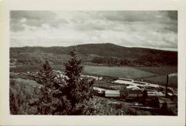
Image depicts a view of an experimental farm, possibly taken from Tabor Mountain.
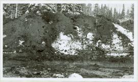
Photograph depicts the excavation area in forest where dragline cranes had been operating.
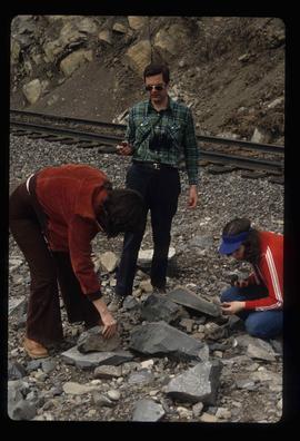
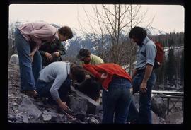
Image depicts three unidentified individuals examining rocks near a set of railway tracks at an uncertain location in the Peace River Region.
Image depicts a group of individuals who appear to be examining a rock. It is possibly part of an educational trip.
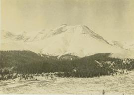
Photograph depicts evergreen trees surrounding the base of a snow-covered mountain.
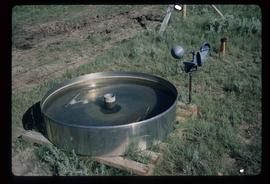
Image depicts an evaporation pan for water evaporation measurements. The location is uncertain.
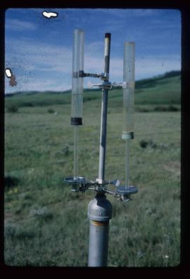
Image depicts an atmometer. According to the slide, it is being used for measuring the rate of water evaporation "from carborundum stone." The location is uncertain.
Image depicts Eskers Park, near Prince George, B.C.
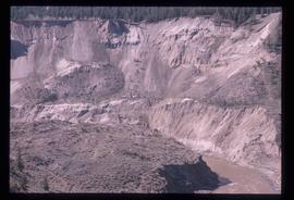
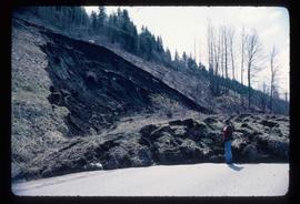
Image depicts an eroding rock face; the river in the right corner of the image is possibly the Fraser River.
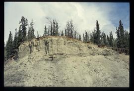
Image depicts what appears to be an eroding rock face. The slide itself is labelled "ash loger at top" for unknown reasons. Possibly located somewhere near Whitehorse, Y.T.
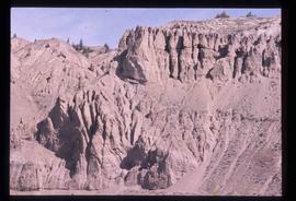
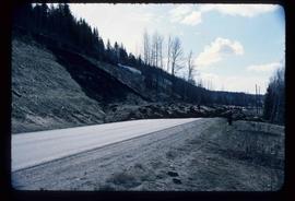
Image depicts an eroding rock face at an uncertain location.
File consists of photographic prints and slides depicting partial-cutting and select logging during the EP 1162 Summit Lake research project.
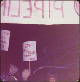
Sign in foreground reads: “Stop Bull Shitting, [Phoney (crossed out)] Ioney”.
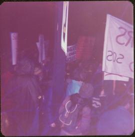
Handwritten annotation on verso reads: “The Kitimat Oil Port Environmental Lobby, didn’t believe I killed it. I did!”
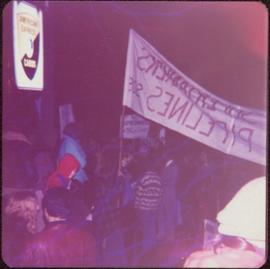
Semi-visible sign reads: “Supertanks - Pipelines S.O.S.”
Photograph depicts crowd with individuals holding protest signs.
Photograph depicts the entrance to the Squamish River at Squamish, looking upstream. The pier on the left belongs to the original logging railway, circa 1909-1925.
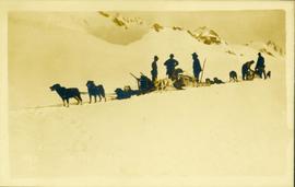
Photograph of a team of sled dogs and resting men silhouetted against snowy mountaintops. Printed annotation on recto reads: "#92 Enroute to Naas On the Big Glacier."
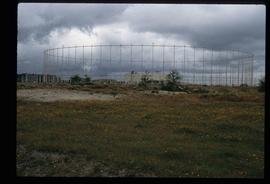
Image depicts a building surrounded by a tall, circular enclosure somewhere on Haida Gwaii, B.C.
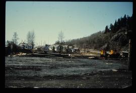
Image depicts employee houses on mill site in Giscome, B.C. Tug boats are in the foreground on the right. Map coordinates 54°04'23.4"N 122°22'16.9"W
Series contains material relating to Ainley's personal projects and research and professional projects. The material consists of transcribed copies of Ainley's early articles; drafts of sections, notes, research material and correspondence relating to "Creating Complicated Lives: Women and Science at English-Canadian Universities, 1880-1980"; conference proceedings, research material, notes and correspondence relating to her research project, "Re-explorations: new perspectives on gender, environment and the transfer of knowledge in 19th and 20th century Canada and Australia"; material, predominately course descriptions and syllabi, relating to administering the Women's Studies Program at the University of Northern British Columbia; and photographs and slides relating to both her research and her personal life and hobbies. Series also contains conference proceedings, research notes, bibliographies, curricula vitae and other material.
File contains slides depicting places along the east line of the BC Railway.
File contains slides depicting places along the east line of the BC Railway.
File contains slides depicting places along the east line of the BC Railway.
File contains slides depicting places along the east line of the BC Railway. Some are duplicates of the images found in the "East Line, Dome Creek - Lamming Mills - Misc" file.
Image depicts an earth flow north of Stone Creek, B.C.
Image depicts an earth flow north of Stone Creek, B.C.
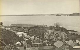
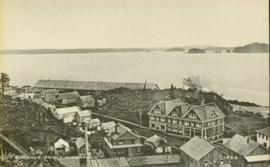
Photo of the Prince Rupert harbour. Many buildings are visible along the shoreline. Annotation on recto reads: "Harbour, Prince Rupert BC. 1658." Handwritten annotation on verso reads: "Early Prince Rupert. Good view of Metlakatla Passage in distance- showery[?] Wolf Island."
Photo of the Prince Rupert harbour. Many buildings are visible along the shoreline. Annotation on recto reads: "Harbour, Prince Rupert, BC. 1658."
Photograph depicts the North peak of McDame mountain in the earlier stages of strip mining, South peak unmined in background. Quonset and other shops visible in left foreground, unknown building built into mountainside in right foreground.
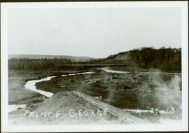
Early spring landscape with roadbed and track in foreground, river in midground, and hill in background.
Handwritten annotation on recto: “PRINCE GEORGE 4-20-13”.
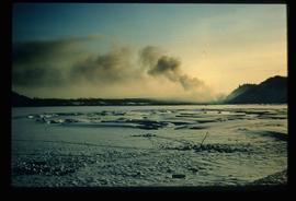
Image depicts Eaglet Lake in the winter taken from Giscome, B.C. Map coordinates 54°04'20.9"N 122°21'53.1"W
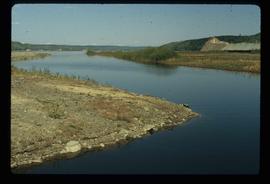
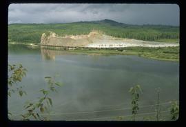
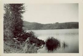
Image depicts the creek flowing into Eaglet Lake. A grey area of hill on the right side of the image appears to be the Giscome Quarry. Map coordinates 54°04'26.2"N 122°22'04.3"W
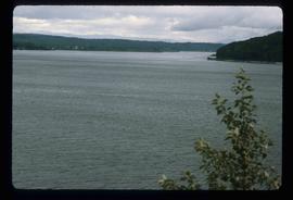
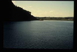
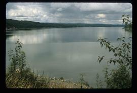
Image depicts an eastern view over Eaglet Lake.
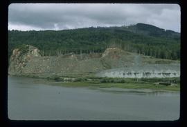
Image depicts the site of Giscome's first quarry, with Eaglet Lake located in the foreground.
Image depicts the site of Giscome's first quarry, with a train passing by and Eaglet Lake located in the foreground.
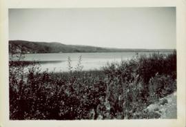
Image depicts a lake at an uncertain location, likely Eaglet Lake.
Image depicts Eaglet Lake, north-east of Prince George, B.C.
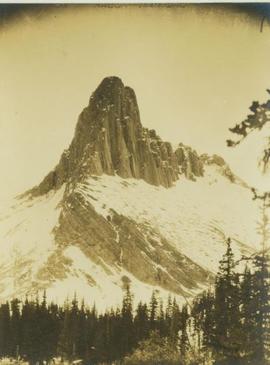
Photograph depicts Eagle's Nest Pass mountain with trees in the foreground.
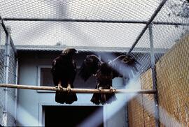
Slide depicts two eagles in an enclosure. The photograph was taken in Kaleden, BC. Original slide index description: "Eagles, Kaleden."
Shoreline perspective of Eagle Lake. Handwritten annotation in pen on verso reads: “This is Eagle Lake. It is about 2 blks [sic] away.”
Shoreline perspective of Eagle Lake. Handwritten annotation in pen on verso reads: “Eagle Lake from the C.N.R. railway tracks.”
Overview of sawmill situated in valley. Finished lumber visible in distance.
Image depicts the Dunlevy Creek area somewhere near Dawson Creek, B.C. The slide is simply labelled "Dunlevy irrigation" for uncertain reasons.
Image depicts the Dunlevy Creek area somewhere near Dawson Creek, B.C. The slide is simply labelled "Dunlevy irrigation" for uncertain reasons.
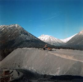
Photograph depicts red truck dumping waste at what is believed to be the tailings pile at the Cassiar plant. Small building and unidentified individual in bottom left foreground, valley and mountains in background. Photo caption next to printed copy of image in 1953 Annual Report: "Stockpile of 80,000 tons of Ore at Mill."
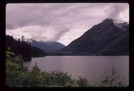
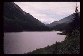
Image depicts a view of Duffey Lake Provincial Park, looking west over Duffey Lake.
Image depicts a view of Duffey Lake Provincial Park, looking east over Duffey Lake.
