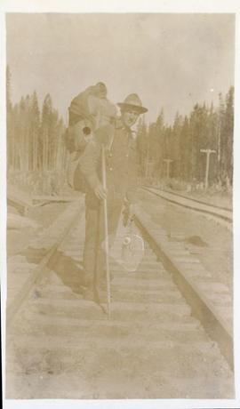
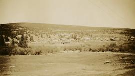
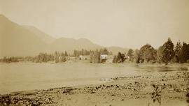
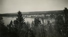
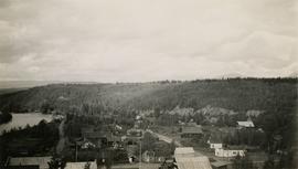
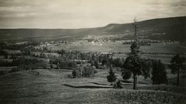
2011.13.71
·
Item
·
ca.1910-ca.1930
Part of Parker photograph collection
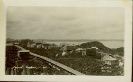
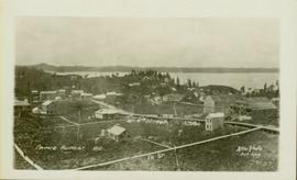
Photograph is a printed postcard depicting a wagon track between buildings situated on either side. There are mountains in the back ground. Possibly Stewart, BC.