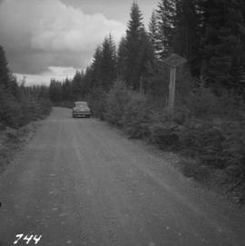
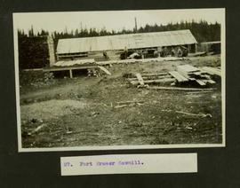
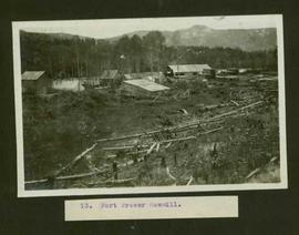
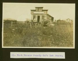
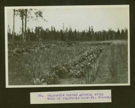
2013.6.36.1.097
·
File
·
1997-2000
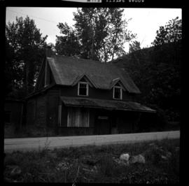
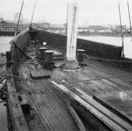
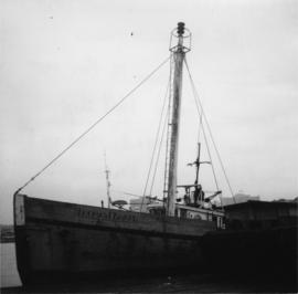
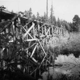
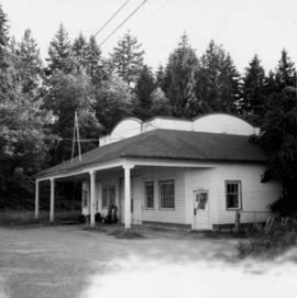
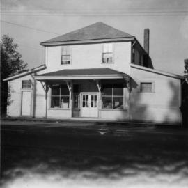
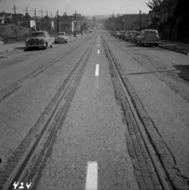
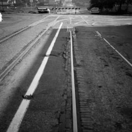
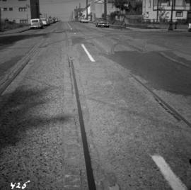
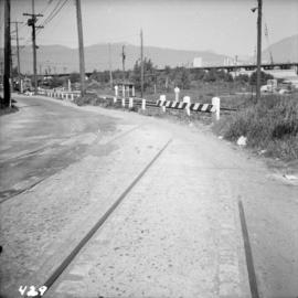
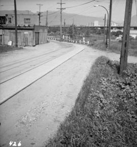
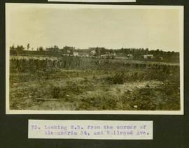
Part of David Davies Railway Collection
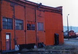
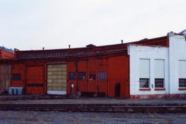
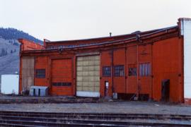
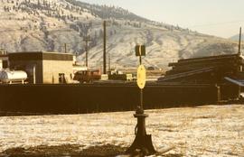
File consists of documentary photographs taken by David Davies of former KVR trackage in the Christina Lake area of British Columbia.