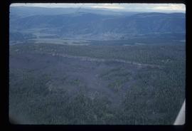
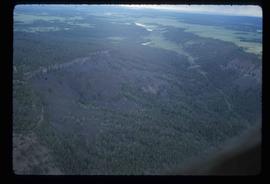
Image depicts an aerial view of a section of land, likely near the Fraser River, that is possibly either a slump or part of a mining operation. The slide is labelled "slump or mining."
Image depicts an aerial view of a section of land, likely near the Fraser River, that is possibly either a slump or part of a mining operation. The slide is labelled "slump or mining."
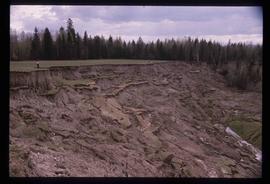
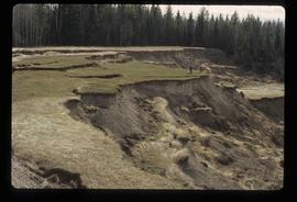
Image depicts what is likely a slump slide at an unknown location.
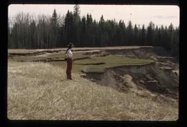
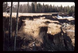
Image depicts an unknown individual standing near what is most likely a slump slide at an uncertain location.
Image depicts two unknown individuals standing near what is most likely a slump slide at an uncertain location.
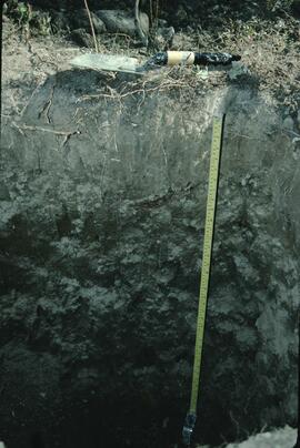
Image depicts an unknown individual standing next to what appears to be a slump type of landslide at an unknown location.
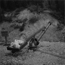
Photograph depicts sluicing monitors that were used to tear down and break up alluvial gold bearing material.
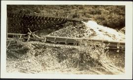
Photograph depicts sluice trunk in mining area, men on tall structure in background.
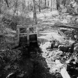
Photograph depicts the sluice gates off the Nicola River, on a ranch at Nicola village, 7 miles northeast of Merritt.
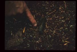
Image depicts a slug on the forest floor somewhere on Haida Gwaii.
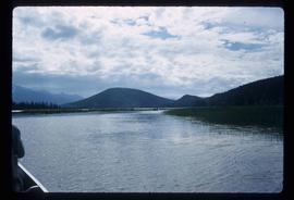
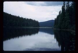
Image depicts a few unknown individuals canoeing in a slough area while on approach to Bowron Lake.
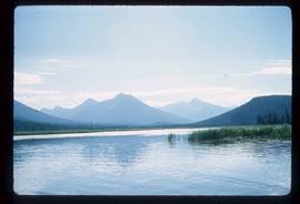
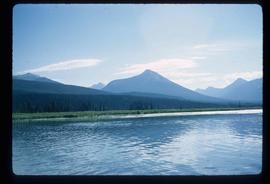
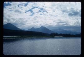
Image depicts a slough area while on approach to Bowron Lake.
Image depicts a slough area while on approach to Bowron Lake.
Image depicts a slough area while on approach to Bowron Lake.
Image depicts a slough area while on approach to Bowron Lake.
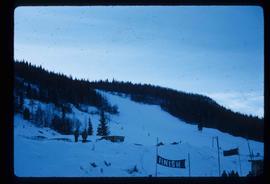
Image depicts the slopes of Tabor Mountain in Prince George, B.C.
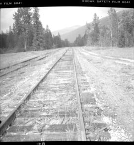
Photograph depicts what is thought to be the Slocan branch line, near Passinae which is at mile 10.8 gtom south Slocan. This is at the point where the rail road and river lie close together. Approximately 20 miles west of Nelson.
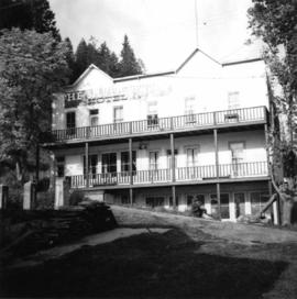
Photograph depicts the Silver Ledge Hotel, Ainsworth Hot Springs, on the west side of Kootenay Lake, north of Nelson.
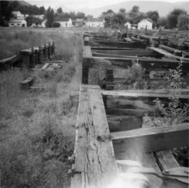
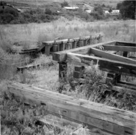
Photograph depicts the general view of a slipway that was used for pulling stormwheelers out of the water. It had 5 sets of ways.
Photograph depicts the general view of a slipway that was used for pulling stormwheelers out of the water. It had 5 sets of ways.
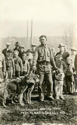
Photograph depicts Slim Williams and four members of his dog team in the centre of the image, with a group of men, women and children standing behind him looking towards the camera. Handwritten annotation along bottom of photograph reads: "'Slim' Williams and Dog Team From Alaska to Chicago 1933". It is believed this photograph was taken in Hazelton, BC. and documents Slim Williams on his way to the Chicago Fair.
File consists of photographic slides from the Arocena & Sanborn 1999 regional soil mineralogy study.
File consists of computer disk with "over[looked?] oral histories" files. Slides primarily contain pictures of women who were the subjects of Ainey's research.
File consists of slides depicting the Aleza Lake Research Forest and area taken by Michael Jull.
File consists of slides depicting the Aleza Lake Research Forest and area taken by John Revel.
File consists of Brian Fawcett's diapositive slides.
Gary Runka was a hobbyist photographer and documented his work and personal life through photography as he travelled across every region of British Columbia. This slide collection documents the evolution of British Columbia communities and regions over a 30 year period. Gary Runka's core interest was land and changing land uses. Many of these slides tell a story of urban edge and/or natural resource compatibility/conflict. There are also a substantial number of slides related to soils, including soil profiles, soil erosion and land (topography, drainage etc.) capability for agriculture. The collection also includes specific client-related photos, tied to Land Sense Ltd. client file job numbers.
The collection also documents personal travels and hiking trips throughout British Columbia and backpacking in some historic areas, such as West Coast Trail and Cape Scott. These slides also represent land evolution over time, including extent of alpine glaciation or biodiversity/plant species inhabiting the area.
Photograph depicts sleeping dogs, likely Nancy Boyd's dogs Agnes and Orlando.
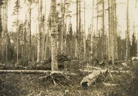
Original photographic print included in "Northern Interior Forest Experiment Station: Report of Preliminary Investigations" by Percy Barr.
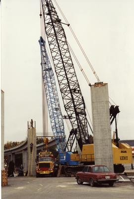
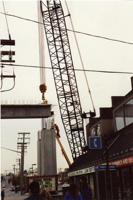
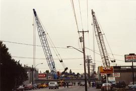
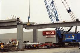
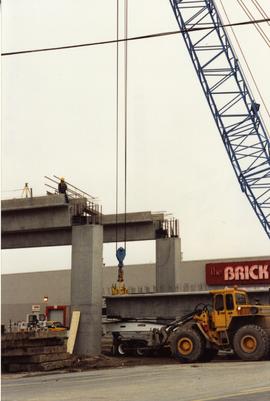
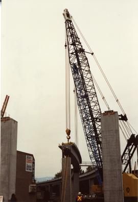
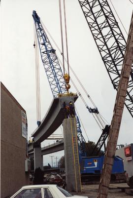
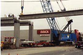
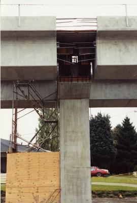
Photograph depicts Sky Train track being extended into Surrey. A girder was being placed into position.
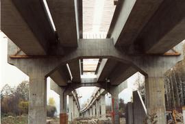
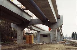
Photograph depicts Sky Train track being extended into Surrey.
Photograph depicts Sky Train track being extended into Surrey.
Photograph depicts Sky Train track being extended into Surrey.
Photograph depicts Sky Train track being extended into Surrey. A girder was being placed into position.
Photograph depicts Sky Train track being extended into Surrey. A girder was being placed into position.
Photograph depicts Sky Train trackage passing over 104th Avenue, Surrey.
Photograph depicts Sky Train track being extended into Surrey.
Photograph depicts the construction of a new Sky Train station.
Photograph depicts the construction of a new Sky Train station.
Photograph depicts the construction of a new Sky Train station.
File consists of documentary photographs taken by David Davies of the construction of the Sky Train in Surrey, British Columbia.
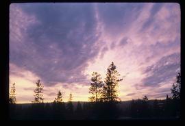
Image depicts the sky at either dusk or dawn, from an unknown location.
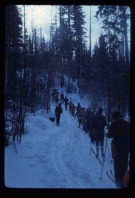
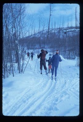
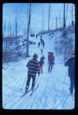
Image depicts numerous skiers cross-country skiing on a trail through trees on the Birchleg Ski route on Tabor Mountain in Prince George, B.C.
Image depicts numerous skiers cross-country skiing on a trail through trees on the Birchleg Ski route on Tabor Mountain in Prince George, B.C.
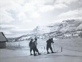
Photograph depicts three men on skiis standing on snow-covered terrain in front of a mountain.
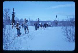
Image depicts numerous skiers on the Birchleg Ski route on Tabor Mountain in Prince George, B.C.
Image depicts numerous skiers on the Birchleg Ski route on Tabor Mountain in Prince George, B.C.
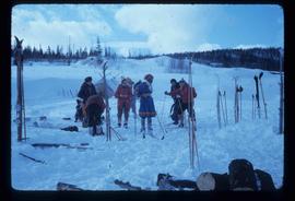
Image depicts numerous skiers and skis that are standing upright in in the snow on Tabor Mountain in Prince George, B.C.
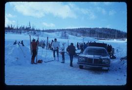
Image depicts a vehicle and a large group of skiers somewhere on Tabor Mountain in Prince George, B.C.
