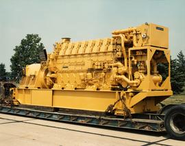
2000.1.1.3.18.017
·
Item
·
1989
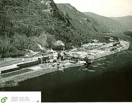
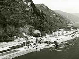
Part of Cassiar Asbestos Corporation Ltd. fonds
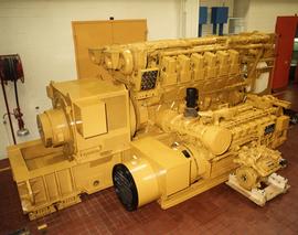
Photograph depicts large Caterpillar engine against painted brick wall in building with brick floor. Miscellaneous equipment in background. Accompanying note reads: "MTCE 4-01 (b) Cat 3612 Engine".