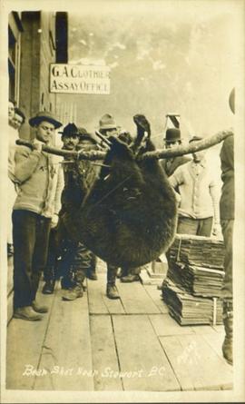
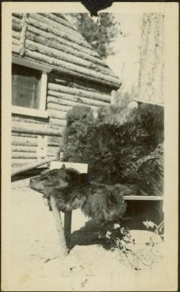
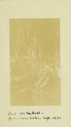
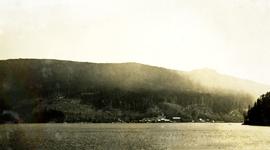
Print preview Close

Showing 27992 results

Archival description
17269 results with digital objects Show results with digital objects
Bear Pass
2012.13.1.83.21 · Item · 1979
Part of J. Kent Sedgwick fonds

Image depicts a view of Bear Pass, likely from Glacier Highway and somewhere in or near Bear Glacier Provincial Park, located north-east of Stewart, B.C.

Bear River?
2012.13.1.84.11 · Item · 1994
Part of J. Kent Sedgwick fonds

Image depicts what is possibly Bear River in the Bear Glacier Provincial Park.

Bear River?
2012.13.1.84.10 · Item · 1994
Part of J. Kent Sedgwick fonds

Image depicts what is possibly Bear River in the Bear Glacier Provincial Park.

Bear River?
2012.13.1.84.15 · Item · 1994
Part of J. Kent Sedgwick fonds

Image depicts what is possibly Bear River in the Bear Glacier Provincial Park.

Bear shot near Stewart, BC
2011.13.29 · Item · ca.1910-ca.1930
Part of Parker photograph collection

Photograph of a group of men gathered outside of "G.A. Clothier Assay Office." Two of the men are carrying a large bear carcass between them on a tree branch. Printed annotation on recto reads: "Bear Shot Near Stewart B.C. Hughes #18."

Bear Snow Sculpture
2012.13.1.3.147 · Item · Apr. 1999
Part of J. Kent Sedgwick fonds

Image depicts a snow sculpture of a bear, possibly during the Winter City Conference, in Prince George, B.C. Taken at the Prince George Civic Center. Map coordinates 53°54'45.6"N 122°44'59.6"W

2012.13.2.17.23.02 · Item · 2001
Part of J. Kent Sedgwick fonds

The item is a photograph depicting the derelict Bearman barn in Newlands. Annotation on reverse side of photograph states, "Bearman Barn, Newlands."

Beaumont and Pine Park
2016.7.3.25 · File · [July 1998]
Part of Dr. Joselito Arocena fonds
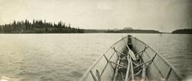
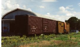
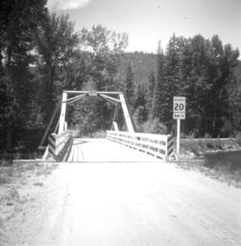
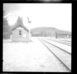
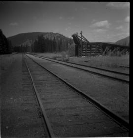
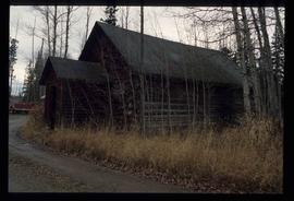
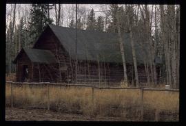
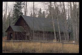
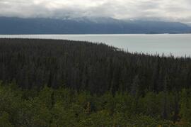
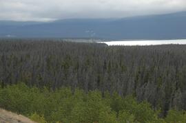
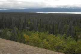
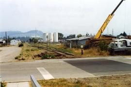
File consists of slides depicting Totuk Lake, chernozem, Vanderhoof, a log house, Beaumont Provincial Park, Tamarack Lake, Dahl Lake, an ant hill, and red soil.

2013.6.36.1.093.08 · Item · Aug. 1995
Part of David Davies Railway Collection

Photograph depicts Beaver Trucking located on Kamloops Indian Reserve No. 1 on Tk'emlups te Secwepemc territory, Kamloops, BC. It had been a company since 1990 and received 2 or 3 boxcars weekly loaded with items from Toronto that were then delivered around town. Davies later noted that the business was destroyed by arson in 1997.

Beaverdell CPR depot
2013.6.36.1.027.15 · Item · [July 1966]
Part of David Davies Railway Collection

Photograph depicts the CPR Beaverdell depot located at about 35 miles northeast of Osoyoos and at mile 91.4 east of Penticton on the Carmi Subdivision. The traffic here is ore from a local mine, some lumber, and freight for the village. The depot building is in use and has a telegraph. There is also siding capacity for 31 cars. This section was built between 1914 and 1915. The view is looking north.

Beaverdell CPR depot
2013.6.36.1.027.07 · Item · [23 June 1979]
Part of David Davies Railway Collection

Photograph depicts the CPR depot at Beaverdell, located at about mile 42.3 on the Carmi Subdivision. To the right is an ore loader for concentrate from mines. There is no rail traffic at this date. The view is looking north.

Beaverly Elementary School
2012.13.2.16.44 · File · 1987, 2001
Part of J. Kent Sedgwick fonds

File consists of notes, reproductions, and typescript documents relating to Beaverly Elementary School. Includes: "Beaverly School" typescript letter from Kent Sedgwick to the Beaverly Community Association (30 Oct. 1987). Also includes photographs depicting the old weathered wooden Beaverly School building (Nov. 2001).

Becher's Prairie
2012.13.1.65.69 · Item · Aug. 1980
Part of J. Kent Sedgwick fonds

Image depicts what appears to be a small ranch. The slide is labelled "Becher's Prairie," possibly meaning Becher's Prairie Provincial Park in B.C.

Bee Colony
2012.13.1.91.56 · Item · 1979
Part of J. Kent Sedgwick fonds

Image depicts a man in a yellow cap who appears to be blowing smoke into a bee colony at a bee farm. It appears to be an educational demonstration.

Bee Hive Burner
2012.13.1.7.001 · Item · Oct. 1975
Part of J. Kent Sedgwick fonds

Image depicts a bee-hive burner beside a rail-road track at an unidentified mill somewhere in Prince George, B.C.

Beehive Burner
2012.13.1.3.088 · Item · 12 Oct. 1989
Part of J. Kent Sedgwick fonds

Image depicts a Beehive Burner along the Nechako on River Road. Map coordinates 53°55'34.1"N 122°44'58.0"W

Beehive Burner
2012.13.1.3.089 · Item · 12 Oct. 1989
Part of J. Kent Sedgwick fonds

Image depicts a Beehive Burner along the Nechako on River Road. Map coordinates 53°55'34.1"N 122°44'58.0"W.