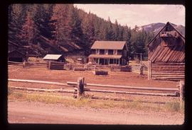
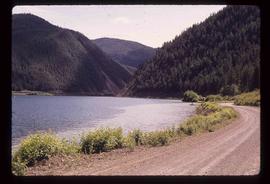
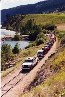
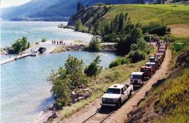
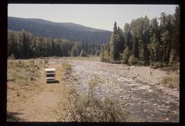
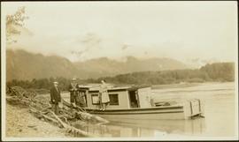
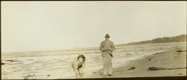
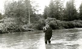
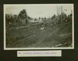
2012.13.1.88.35
·
Item
·
1980
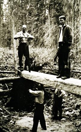
Part of J. Kent Sedgwick fonds
Image depicts Kent Sedgwick sitting on the bank of a river. An old beehive burner is visible in the background. Located somewhere in or near Penny, B.C.