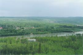
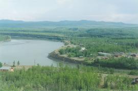
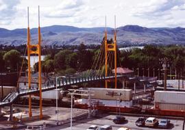
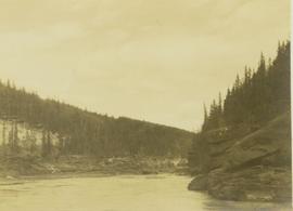
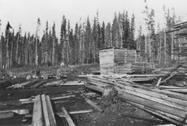
Image depicts the post office in Penny, B.C.
Image depicts Sue Sedgwick standing in front of an old, run-down house somewhere in or near Penny, B.C.
Image depicts two signs for hiking trails in Penny, B.C. One reads: "Hiking trail to Red Mt. Lake (Grizzly Bear Mt.) expect to meet wild animals."
Image depicts four unidentified individuals standing on the bank of a river, possibly the Fraser, somewhere in or near Penny, B.C.
Image depicts a river, possibly the Fraser, near Penny, B.C.
Image depicts a red boat on a river, possibly the Fraser, near Penny, B.C.
Image depicts a beehive burner somewhere in or near Penny, B.C.
Image depicts the condominiums in the "Pemberton Valley Estates" in Pemberton, B.C.
Image depicts rail road tracks and several buildings in Pemberton, B.C.
Photograph depicts a pedestrian overpass, with rail below, leading to the Riverside Park and Coliseum. CPR container freight was moving westwards.
Photograph depicts the lumber yard at Peden Hill sawmill, likely after the fire that burnt down the first mill at that location.
Image depicts a view of Peden Hill in Prince George, B.C.
Photograph depicts peat barns on the New Westminster Highway on Lulu Island, near the #8 Rd., half a mile west of rail crossing.
Image depicts the Pearson Homestead.
Photograph depicts buildings and signage on either side of dirt road. Unidentified man stands on far left, Atlin Lake and mountains can be seen in background.
Hand inscribed annotation on recto of photograph reads: “Pearl St., Atlin, B.C. Aug. 1899. A.C. Hirschfeld, No.74”.
Photograph depicts tent buildings on either side of dirt road. Unidentified men are visible on left, Atlin Lake and mountains can be seen in background.
Hand inscribed annotation on recto of photograph reads: “Pearl Av. looking towards Atlin Lake, Atlin, B.C., A.C. Hirschfeld, No. 174”
Slide depicts peach trees blossoming in an orchard. Original slide index description: "Peach blossoms Lakeview Heights."
Slide depicts a close up of peach blossoms on a branch. Original slide index description: "Peach blossoms Shanboolard."
Slide depicts peach trees blossoming in an orchard. Original slide index description: "Peach blossoms Shanboolard."
Slide depicts a close up of two peach trees blossoming in someone's yard. Original slide index description: "Close up of Peach Blossoms, Casa Loma."
Slide depicts peach trees blossoming in an orchard. Original slide index description: "Peach blossoms Casa Loma."
Image depicts a section of forest located somewhere in the Peace River Regional District of B.C.
Image depicts grass burning at an uncertain location in the Peace River Region.
Image depicts a street of shops at an uncertain location somewhere in the Peace River Regional District. A pink and blue building, possibly a theatre, is labelled "Lux."
Photograph depicts the Peace River Canyon with the Peace River in the foreground and rocky, tree-lined cliffs flanking the river. In the background a forested mountain base is visible.
Photograph depicts the Peace River curving around the tree-covered cliffs at the Peace River Canyon.
Photograph depicts the Peace River leading up to a strait called the "Gate" at Lynx Creek. The narrow strait is flanked by a forested, rocky shoreline.
Image depicts the W.A.C. Bennett Dam on the Peace River in Hudson's Hope, B.C.
Image depicts a large group of unidentified individuals sitting on a hill; what is possibly the Peace River is visible in the background.
Image depicts what is possibly the Peace River running next to some farm land at an uncertain location.
Image depicts a dam and a reservoir of water, possibly on the Peace River.
Image depicts a dam, possibly on the Peace River.
Image depicts a dam on what is possibly the Peace River.
Image depicts the Peace River, possibly near Clayhurst or Hudson's Hope, B.C.
Image depicts what is possibly the Peace River.
Image depicts a river, possibly the Peace River.
Image depicts what is possibly the Peace River running parallel to a road, possibly Highway 29.
Image depicts the Peace River.
Image depicts the Peace River, possibly near Hudson's Hope, B.C.