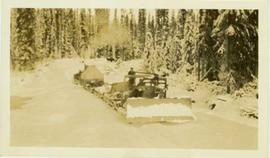
Photograph depicts a bulldozer convoy pulling empty flats through a forested landscape.
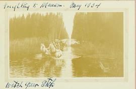
Photograph depicts two men driving a loaded two horse driven wagon as it traverses through a river that runs through a forest landscape.
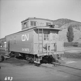
Photograph depicts a freshly painted Canadian National Railway (CN) caboose at Kamloops Junction depot.
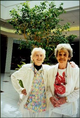
Photograph depicts two unidentified woman standing in front of tall plant in mall. Photo believed to have been taken in Newton, B.C.
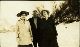
One man stands between two women in snow-covered area. Both women are wearing hats and long coats, and one holds a cane. Hills in background. Handwritten annotation on recto of photograph: "Grant girls from Hazelton. Mrs Kirpatrick & Mrs Davis".
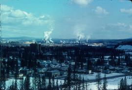
Image depicts a view of Prince George from Carney Hill.
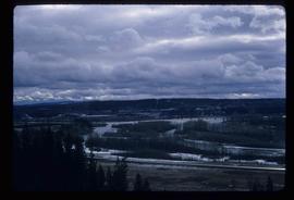
Image depicts the Fraser River from the vantage point of the cutbanks in Prince George, B.C.
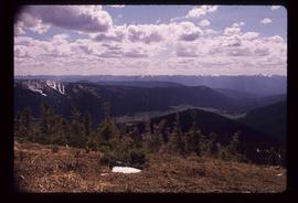
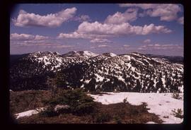
Image depicts a view of the Sugarbowl Grizzly Den Protected Area from Raven Peak.
Image depicts a view of the Sugarbowl Grizzly Den Protected Area from Raven Peak. The slide itself is labelled "towards cabin."
Photograph depicts two men preparing to load a canoe on a wagon. Two blanketed horses stand nearby with one person attending. There is a lake in the background, wild grasses and brush in the foreground.
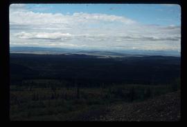
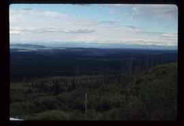
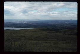
Image depicts a view of the landscape surrounding Tabor Mountain in Prince George, B.C.
Image depicts a view of the landscape surrounding Tabor Mountain in Prince George, B.C.
Image depicts the area surrounding Tabor Mountain. Prince George is slightly visible on the left side of the image in the background.
Image depicts the area surrounding Tabor Mountain. Prince George is slightly visible in the background.
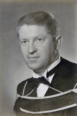
Cover features Iona Campagnolo in her regalia as Chancellor of the University of Northern British Columbia.
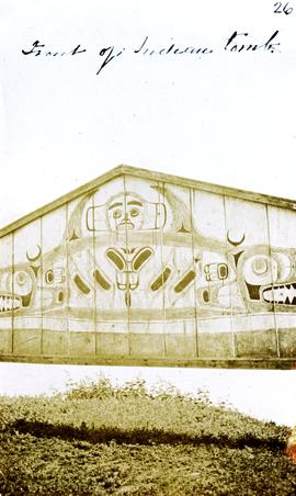
Photograph depicts a tomb elevated over grassy area.
Handwritten annotation on image reads: "26. Front of Indian tomb."; on verso: "Upper Nass River."
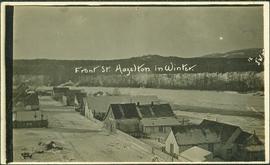
Handwritten annotation on recto of photograph: "Front St. Hazelton in Winter. 12 J.W. [...]" Tree line, field, and hills in background. Handwritten annotation on verso of photograph: "Miss. Nellie [Nelville] G. Caranaugh".
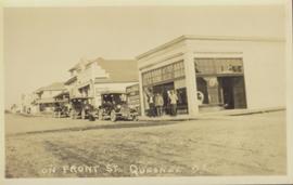
Street view photograph taken at the intersection of Front Street and Carson Avenue. Several men are gathered at Cowan's Hardware store on the corner. Also visible in this photograph is the Cariboo Hotel (visible furthest to the left), and the British American Hotel which is partially visible behind the J.A. Fraser store. Printed annotation on recto reads: "On Front Street, Quesnel, B.C."
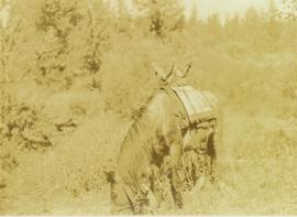
Photograph depicts the front view of a pack horse bearing a Prentiss Gray's tripod and camera on a special saddle.
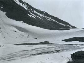
Photograph depicts a frozen pond located in a snowy landscape on the east side of Copper Mountain.
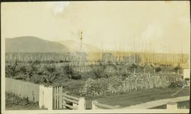
Photograph depicts young fruit trees planted in fenced area with small wind mill, hills in background. Handwritten annotation on recto of photograph: "This is part of the fruit trees if you place it along side of the other one you can see the location the farm buildings are on the other side I didn't get one of them."
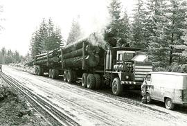
Item is a picture of a filly loaded logging truck with two trailers stopped on a dirt road. A van from "Commins Diesel Vancouver Island Ltd. Nanaimo" is parked in front of the truck.
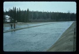
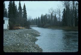
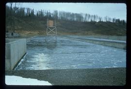
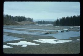
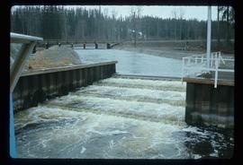
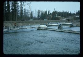
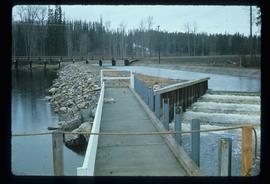
Image depicts the Fulton River.
Image depicts the Fulton River.
Image depicts the Fulton River.
Image depicts the Fulton River.
Image depicts the Fulton River.
Image depicts the Fulton River.
Image depicts the entrance of the Fulton River.
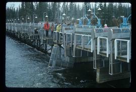
Image depicts a number of people standing at what appears to be a farm fishery [?] on the Fulton River.
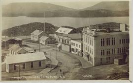
Elevated street view of Fulton Street in Prince Rupert, BC. City Hall is in the left foreground. Hills and water are visible in the background. Printed annotation on recto reads: "Fulton St. Prince Rupert. B.C. W.W.W."
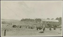
Photograph depicts a group of men, women, and children walking across beach towards water. Buildings visible on shore in left background.
Handwritten annotation on verso reads: "Funeral party - en route to boat Metlakatla BC (Taking body over to Grave Island".
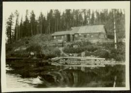
Photograph depicts two log buildings in fenced area on lake shore, forest trees in background. A man can be seen standing near docking area and small boat pier extending into water in foreground. Handwritten annotation on recto of photograph: "Fur Farm Red Rock Lake". This location is believed to at mile 27, north of Summit Lake.
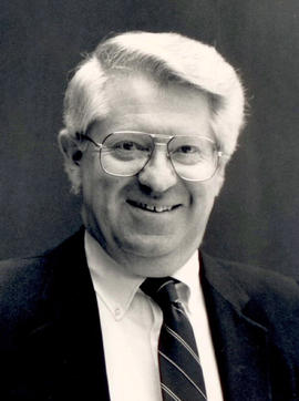
This fonds illustrates the life and work of G. Gary Runka and his contributions to the province of British Columbia. Gary Runka was the first General Manager of British Columbia's Agricultural Land Commission and helped establish the provincial Agricultural Land Reserve. After transitioning from a government career to private consulting, Runka provided comprehensive professional services through his land consultancy business, G.G. Runka Land Sense Ltd., offering land capability and environmental assessments, integrated resource management, land and water use conflict resolution, and interdisciplinary land use planning. Described by colleagues as one of BC's most highly respected agrologists and influential land use planners, Runka had a 52-year career working on (or against) an incredible number of landmark projects in British Columbia, such as the Site C Project. Gary Runka’s partner in life and vocation, Joan M. Sawicki, worked with Gary on many of these projects—as well as her own; her contributions are also represented throughout the records of this fonds.
Gary Runka's deep connection to the land is evident from his earliest papers on aerial photo interpretation, his work with the Canada Land Inventory, through his speeches and his work establishing the BC Agricultural Land Reserve and in his subsequent consulting career through G.G. Runka Land Sense Ltd. Gary Runka's influence and legacy was recognized in the tributes paid after his death, including the post-humus award as the Real Estate Foundation's "Land Champion" for 2014.
The G. Gary Runka fonds has been divided into the following nine series:
1) Personal Records
2) Speeches & Publications
3) Professional Records
4) Agricultural Land Commission
5) Land Sense Ltd.
6) Client Files
7) Maps
8) Photographs
9) Digital Records
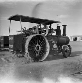
Photograph depicts a Gaar Scott traction engine in working order, steamed twice a year at least. It was built by the M. Rumely Co. in Richmond, Indiana, U.S. The engine is a #16541, has 25 horse power, and 2 cylinders. It was photographed at Texaco Station in Nanton, Alberta. It was owned by Jack burrows of Nanton.
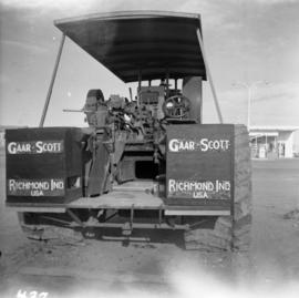
Photograph depicts the rear view of the Gaar Scott traction engine parked at Texcoc Station in Nanton, Alberta. The rear wheels have a 2'9" tread. It was used on farms for haulage, threshing, chaff cutting etc., but not plowing.
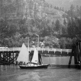
Photograph depicts a gaff rigged schooner. Its sails were apparently set to dry them. No one was aboard and the vessel was securely moored. Davies notes that it was an unusual sailing rig for the area.
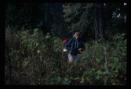
Image depicts a woman named "Gail" on a trail to Portage Lake.
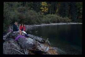
Image depicts two women sitting on a fallen tree on the shore of a lake, possibly Portage Lake; the woman in blue is "Gail," and the woman in red is Sue Sedgwick.
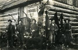
Photograph depicts hunters with their kill in front of the Cheakamus Road House. The man second from left is believed to be Dutch Charlie and the hunters believed to be mostly from Vancouver.
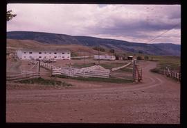
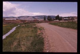
Image depicts Gang Ranch in the Upper Fraser Canyon.
Image depicts Gang Ranch in the Upper Fraser Canyon.
Image depicts Gang Ranch in the Upper Fraser Canyon.
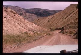
Image depicts a road near or on Gang Ranch in the Upper Fraser Canyon.
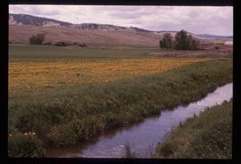
Image depicts a stream and field at Gang Ranch in the Upper Fraser Canyon.
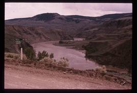
Image depicts the Fraser River, and a sign pointing towards Gang Ranch, in the Upper Fraser Canyon.
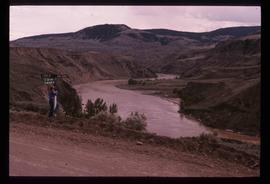
Image depicts the Fraser River, and a sign pointing towards Gang Ranch with an unknown individual hugging it, in the Upper Fraser Canyon.
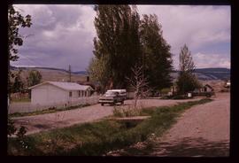
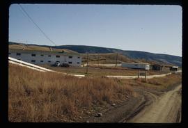
Image depicts the general store and post office on Gang Ranch.
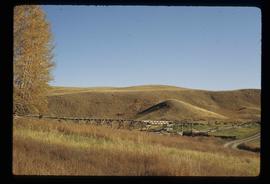
Image depicts an area of hill at Gang Ranch.
