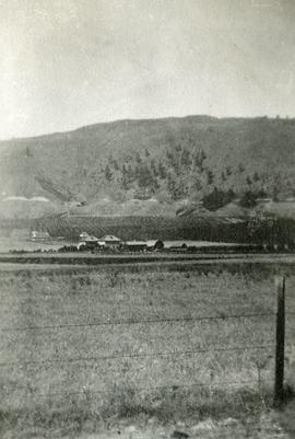
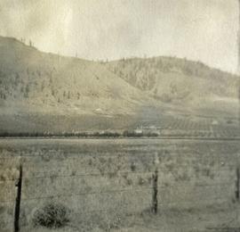
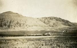
Photograph depicts a view of well kept buildings, orchard and mountains in the background.
Photograph depicts a view of well kept buildings, orchard and mountains in the background.
Photograph depicts a view of well kept buildings, orchard and mountains in the background.
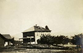
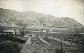
Photograph depicts a large farmhouse situated in an orchard.
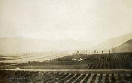
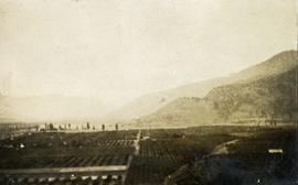
Photograph depicts farms and orchards, with sparsely forested hills in the background.
Photograph depicts a view of well kept buildings, orchard and mountains in the background.
Photograph depicts orchards with mountains in the background.
Photograph depicts a view of well kept buildings, orchard and mountains in the background.
Photograph depicts orchards with mountains in the background.
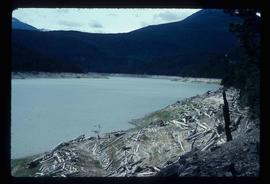
Image depicts Downton Lake, the Lajoie Dam reservoir.
Item is a photograph of a copy print, resulting in a low quality photographic reproduction. Reproduced as a print, slide, and a negative. Location of original photograph is unknown.
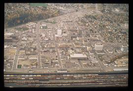
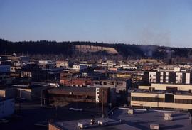
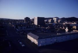
Image depicts an aerial view of downtown Prince George, B.C.
Image depicts downtown Prince George taken from City Hall looking north. Map coordinates 53°54'46.2"N 122°44'43.9"W
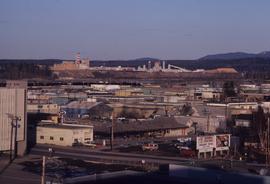
Image depicts a view of Prince George from City Hall looking northeast with the pulp mills in the background. Map coordinates 53°54'46.3"N 122°44'41.9"W
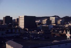
Image depicts downtown Prince George taken from City Hall looking north. Map coordinates 53°54'46.2"N 122°44'43.9"W
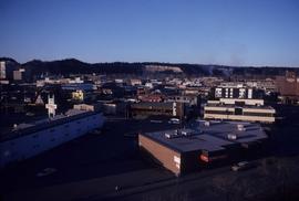
Image depicts downtown Prince George taken from City Hall looking northwest. Map coordinates 53°54'46.2"N 122°44'43.9"W
Image depicts downtown Prince George taken from City Hall looking northwest. Map coordinates 53°54'46.2"N 122°44'43.9"W
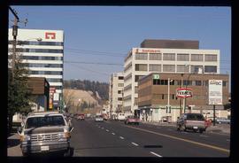
Image depicts downtown Prince George, B.C.
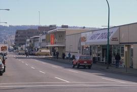
Image depicts 4th Ave at Brunswick St. and the following businesses: Hart Drugs, The Yarn Barn, and Saveco. Map coordinates 53°54'59.9"N 122°44'52.9"W
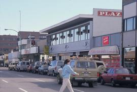
Image depicts 4th Ave at Quebec St, showing the following businesses: The Yarn Barn, Golden Chalice Jewellers, Dandy Lines, Ultrasport, and Saveco. Map coordinates 53°54'58.6"N 122°44'47.5"W
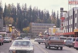
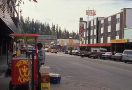
Image depicts George St in downtown Prince George with City Hall in the background. Also visible are the Prince George Hotel and a movie theatre. Map coordinates 53°54'55.0"N 122°44'36.1"W
Image depicts George St in downtown Prince George with City Hall in the background. Also visible are the Prince George Hotel, Ming's Inn Chinese Restaurant, Fraser Stationers Ltd., Weiner King food cart, and a movie theatre. Map coordinates 53°54'55.0"N 122°44'36.1"W
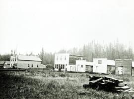
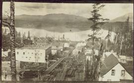
Photograph of several buildings down the street in Prince Rupert, including the church. Lumber pallets are littered around the buildings. Annotation on recto reads: "Prince Rupert, BC. 20.10.07."
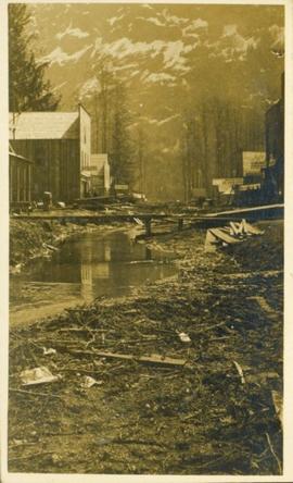
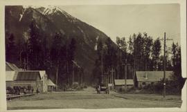
Street view of downtown Stewart, BC. Photograph shows boards propped up over the swampy area of the future road. Wood debris litters the foreground.
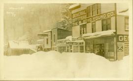
Street view of various buildings in Stewart, BC, covered with a heavy layer of snow. Visible businesses include "The R. Boyd Young Co." and "Stewart Land Co." Printed annotation on recto reads: "Stewart B.C. Hughes 78."
Street view side perspective photograph of several businesses in downtown Stewart, BC.
Photograph depicts a view of downtown Vancouver taken from the east end of False Creek at the foot of Terminal Ave. The view is looking northwest. In the middle distance on the left is the pier of a railway bridge taking the Great Northern Railway line into the city. It was demolished in about 1915-1920 when a new Great Northern station was constructed.
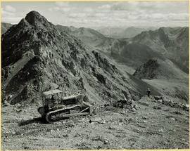
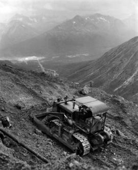
Photograph depicts unknown man driving bulldozer on edge of mine area at high elevation. The dozer is an International model TD24 (manufactured between 1947 and 1955). A second man stands on edge of cliff, directing driver. Expansive mountain range in background.
Photograph depicts unknown man driving bulldozer on edge of mine area at high elevation. Mine road can be seen below leading to Cassiar plant in background on left, townsite visible on right. South mountain range in distance. Handwritten annotation on verso of photograph: "1961".
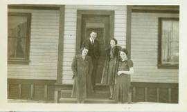
Dr. and Mrs. Austen standing with two unidentified women on the front stairs of a house. Handwritten annotation on verso reads: "Top left: Dr. Eric Austen. Lower right: Mrs. Austen."
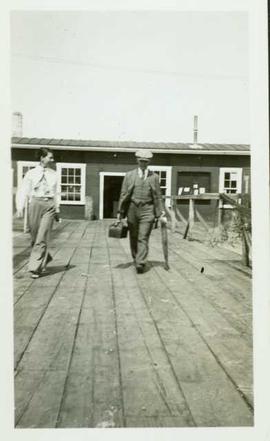
A man with a doctor's bag walks with a woman along a dock; a cannery building iand a net rack visible are visible in the background. Handwritten annotation on verso reads: "Dr. Armstrong & nurse Miss Dorothy Hall leaving fish factory on return to Port Essington".
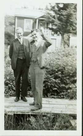
Two men standing on wooden boardwalk in front of a house. One man is waving. Handwritten annotation on verso reads: "Dr. Armstrong & summer relief doctor for June to September".
Fonds consists of the research and professorial records of Dr. Joselito Arocena, a founding faculty member of UNBC. Arocena was an internationally-recognized soil scientist and UNBC’s first Canada Research Chair. His records demonstrate his accomplishments as an academic and researcher, as well as his many and varied interdisciplinary research endeavours. Also included are selections from Arocena’s extensive photographic slide collection which illustrate his teaching, research projects, and personal interests.
Arocena, JoselitoItem is a photograph of a copy print that has been reproduced as a slide, resulting in low photographic quality. Location of original photograph unknown.
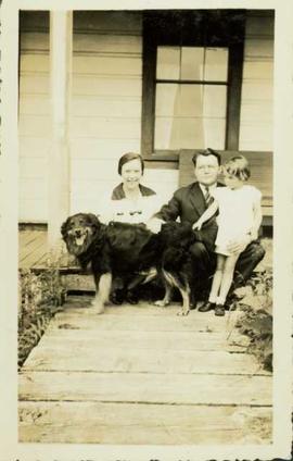
Dr. and Mrs. Perry with daughter Lois sitting on the stoop of the Port Essington Hospital petting a dog. Handwritten annotation on verso reads: "Dr. A.E. Perry with Mrs. Perry & daughter Lois, 1932 in front of Essington Hospital, summer".
Four men and four women pose for a group photo on the front porch of Port Essington Hospital. Handwritten annotation on verso reads: "Hospital staff at Pt. Essington with Dr. A.E. Perry".
This fonds encompasses the academic and administrative career of esteemed Canadian historian Dr. Robin Fisher during his tenure at the University of Northern British Columbia. The records span Dr. Fisher's appointments at UNBC as professor, founding chair of the Department of History, Dean of Arts and Science, and Dean of the College of Arts, Social and Health Sciences.
Series include:
- Personal Records relating to Dr. Fisher's various appointments at UNBC
- Treaty Advisory records originating from Dr. Fisher's involvement in the Northern Interior Regional Advisory Committee and other treaty process advisory activities
- Teaching records relating to the development of Dr. Fisher's undergraduate and graduate courses, primarily in the Department of History
- Conferences & Service records relating to conferences attended or organized by Dr. Fisher, as well as activities given in service to the University or the community
Handwritten annotation on verso reads: "Dr. W.E. Austen Medial (sic) Superant (sic) at Hazelton, 1932."
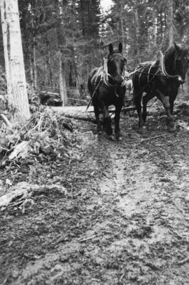
Photograph depicts horse logging.
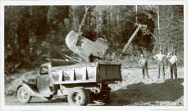
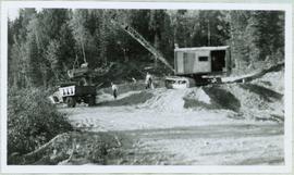
Handwritten caption below this photo reads: "Campbell Construction had a whole fleet of 1937(?) Ford Trucks." Photograph depicts dirt pouring out of bucket suspended over the box of a dump truck. The main hook block of crane is visible; the truck is being loaded by a dragline crane which is elevated on a gravel pile outside of image to right (see item 2005.3.40). Photo was taken in gravel area, and three men can be seen standing in background in front of forest trees.
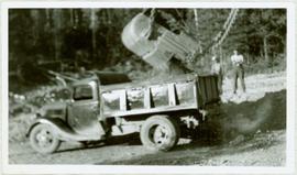
Photograph depicts dirt pouring out of dragline bucket suspended by heavy chains over the box of a dump truck. The truck is being loaded by a dragline crane which is elevated on a gravel pile outside of image to right (see item 2005.3.40). Photo was taken in gravel area, and two men can be seen standing in background in front of forest trees. This truck is one of a fleet of 1937? Ford trucks owned by Campbell Construction (see item 2005.3.33).
Photograph depicts dirt pouring out of a dragline bucket suspended by heavy chains over the box of a dump truck. The truck is being loaded by a dragline crane which is elevated on a gravel pile. Photo was taken in gravel area, and men can be seen standing midground in front of forest. This truck is one of a fleet of 1937? Ford trucks owned by Campbell Construction (see item 2005.3.33).
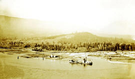
Photograph depicts an aerial view of a dredge boat in the mouth of the Capilano river.
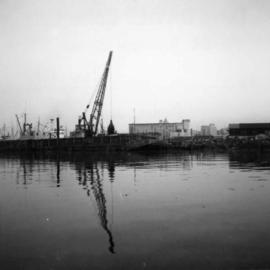
Photograph depicts a dredge working on the shoreline of a new apartment site on the south side of Coal Harbour, Vancouver, B.C. Photograph taken from Stanley Park, looking east. The Bayshore Inn Hotel is shown in the rear center.
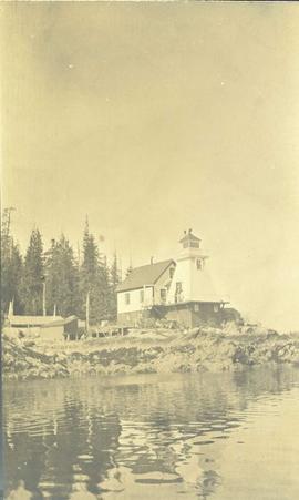
Photograph depicts a lighthouse on a rocky shoreline with a forested area in the background. Annotation on verso of photograph states: "Driad Pt. light near Bella Bella kept by B.B. indian"
Photograph depicts the existing outlet at the proposed site for a hydro power project on Klemtu Lake.
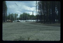
Image depicts a number of identical buildings and vehicles at "Driftwood Creek" in the Driftwood Canyon Provincial Park.
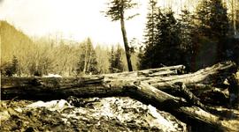
Photograph depicts a large log laying on the beach, standing trees in the background.
