Map depicts Canadian railways in operation at 2011.
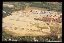
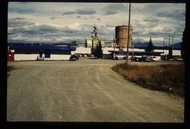
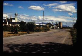
Image depicts a sawmill in the Danson Industrial Park in Prince George, B.C.
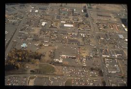
Image depicts the Carter Industrial Area in Prince George, B.C.
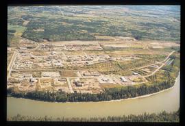
Image depicts a the Danson Industrial Park in Prince George, B.C.
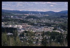
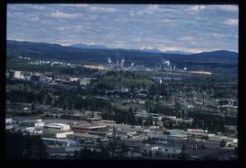
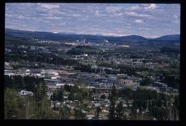
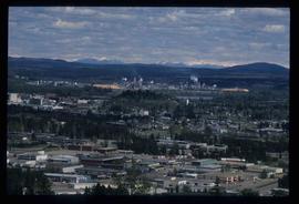
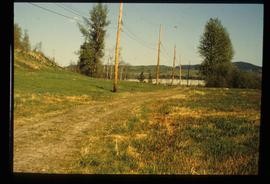
Image depicts Prince George from University Way, with the P.G.I pulp mill in the distance.
Image depicts Prince George from University Way, with the P.G.I. Pulp Mill in the distance.
Image depicts Prince George from University Way, with the P.G.I. Pulp Mill in the distance.
Image depicts Prince George from University Way, with the P.G.I. Pulp Mill in the distance.
Al Elsey compiled this commercial video using footage he filmed in 1964 and 1965 in the Bella Coola area. The video provides a compilation of film footage shot by Elsey and is narrated by him describing the activities related to the Grease Trail. Description verso of VHS commercial box reads:
"Al Elsey's friendship with Margaret Siwallace with other people of the Nuxalk Nation dates back over fifty years. This, his premier documentary, produced from vintage 16 mm movie film taken in the Bella Coola Valley in 1963, invites us to witness their tradition of making Ooligan Grease. The process, followed for centuries by the Nuxalk and other coastal First Nations people, was of such importance that their trading routes from the Coast to the Interior of British Columbia were called Grease Trails. The Ooligan were netted by the ton each year, returning from the ocean to spawn in early spring. The destruction of the Ooligan runs in the Bella Coola and other coast rivers of Southern B.C. probably resulted from over-fishing by shrimp trawl draggers during the late 1990s. GREASE shows catching the Ooligan with conical nets and dugout canoes, rotting them in "stink boxes," then rendering and purifying the Grease. Elsey's captivating narrative and brilliant footage transport us back to another time on the shores of the Bella Coola River."
Al Elsey compiled his original footage from 1965 to produce this commercial film that deals with trapping beaver, the Anahim Lake Stampede and Caribou migration. The video provides a compilation of film footage shot by Elsey and is narrated by him describing the activities documented in the footage
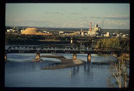
Image depicts the Northwood Pulpmill in Prince George, B.C. taken from above the Nechako River looking east. Map coordinates 53°56'00.0"N 122°44'29.7"W
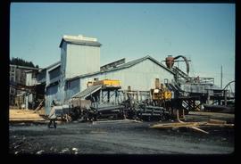
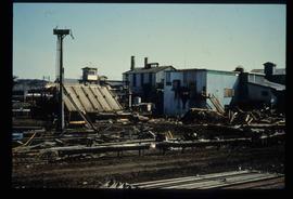
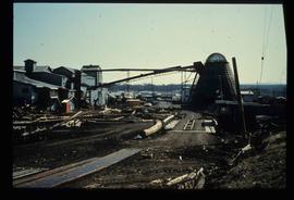
Image depicts a sawmill in Prince George, B.C.
Al Elsey compiled his original footage from 1965 to produce this commercial film that deals with fly-fishing for Steelhead Salmon on the Dean River and Bella Coola River. The video provides a compilation of film footage shot by Elsey and is narrated by him describing the activities documented in the footage.
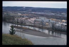
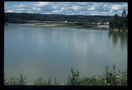
Image depicts Prince George Sawmill taken from across the Nechako River looking southwest. Map coordinates 53°56'00.0"N 122°44'29.7"W
Image depicts Prince George Sawmill taken from across the Nechako River looking southwest. Map coordinates 53°56'00.0"N 122°44'29.7"W
Image depicts the Giscome mill site in Giscome, B.C. The bunkhouse is the large building with many windows. A train and railroad tracks are in the foreground. Map coordinates 54°04'17.6"N 122°22'06.1"W
Image depicts the Prince George Sawmill from the Northwood Bridge.
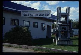
Image depicts the office at the Northwood Upper Fraser Saw Mill and a sign which reads "Have a safe, quality day." Map coordinates 54.117916, -121.943351
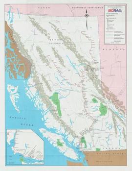
Map depicts the route of BC Rail and its connecting rail lines.
Image depicts a sawmill, possibly Lakeland Sawmill, in Prince George B.C.
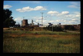
Image depicts a pulpmill, likely Northwood, in Prince George, B.C.
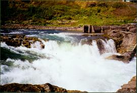
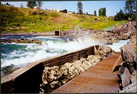
Photograph depicts white rapids at bottom of waterfall in Bulkley River, B.C. Fishing territory visible on far right; hill on opposite shore in background.
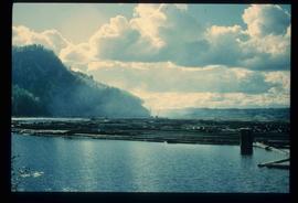
Image depicts numerous tree logs floating on a body of water. The location is uncertain, but is likely Eaglet Lake.
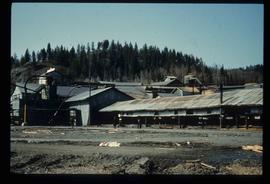
Image depicts the mill site at Giscome, B.C. Map coordinates 54°04'19.7"N 122°22'04.7"W
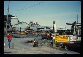
Image depicts the mill site at Giscome, B.C. A sign in the foreground reads "Maynard's Industrial Auctioneers." Map coordinates 54°04'19.7"N 122°22'04.7"W
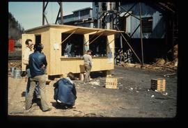
Image depicts a food stand at the mill site at Giscome, B.C. Map coordinates 54°04'19.7"N 122°22'04.7"W
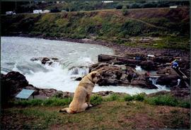
Photograph depicts dog seated on grass in foreground. Unidentified individuals visible below with fishing nets in waterfall area at Moricetown Canyon.
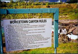
Photograph depicts sign in foreground outlining rules and restrictions for behaviour at Moricetown Canyon. Traditional fishing territory visible behind sign at waterfall in the Bulkley River, B.C. Highway and buildings can be seen in background.
Photograph depicts an unidentified individual standing on cliff above waterfall at Bulkley River, B.C. Fishing territory visible below; highway, buildings, and hills visible in background.
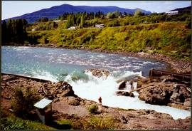
Photograph depicts fishing territory at waterfall rapids in Bulkley River, B.C. Highway and buildings on opposite shore in background.
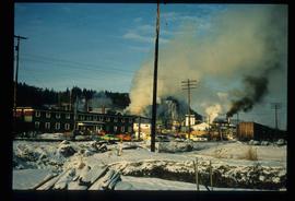
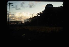
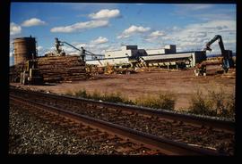
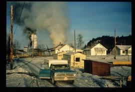
Image depicts Upper Fraser mill yard with log deck and beehive burner in silhouette across railroad tracks. Located in Upper Fraser, B.C. Map coordinates 54°07'01.5"N 121°56'29.6"W
Image depicts numerous log decks at the Upper Fraser sawmill. Map coordinates 54°07'10.8"N 121°56'51.7"W
Image depicts the mill site at Giscome, B.C. Map coordinates 54°04'19.7"N 122°22'04.7"W
Image depicts the mill site at Giscome, B.C. Map coordinates 54°04'19.7"N 122°22'04.7"W
Image depicts the entrance to the Upper Fraser mill yard in Upper Fraser, B.C. Map coordinates 54°07'10.8"N 121°56'51.7"W
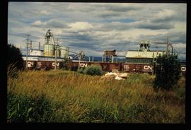
Image depicts the Upper Fraser mill yard with a CN train in Upper Fraser, B.C. Map coordinates 54°07'10.8"N 121°56'51.7"W
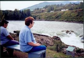
Photograph depicts Moran seated to right of woman on bench in foreground. Waterfall area at Moricetown Canyon can be seen below, behind booth labeled "MONITER BOOTH". Highway and houses visible on opposite shore in background.
Image depicts the entrance to the Upper Fraser mill yard in Upper Fraser, B.C. Map coordinates 54°07'10.8"N 121°56'51.7"W
Image depicts the Upper Fraser Road running through Upper Fraser, B.C. A newer style round burner is seen in the background. Map coordinates 54°07'05.7"N 121°56'38.9"W
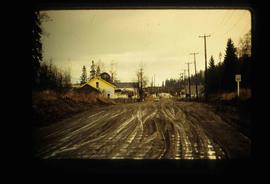
Image depicts the remains of a street of houses in Giscome, B.C. The quarry is slightly visible in the background. Map coordinates 54°04'20.9"N 122°21'53.1"W
Image depicts numerous buildings at an uncertain location. A beehive burner and what appears to be a large pile of wood is visible in the background.
Image depicts several houses and the Giscome saw mill in Giscome, B.C. in the background. Map coordinates 54°04'20.9"N 122°21'53.1"W
Image depicts the mill site at Giscome and its beehive burner. Map coordinates 54°04'19.7"N 122°22'04.7"W
Tourist map of Prince George depicts city area, including railway trackage.
Image depicts two mills; the Intercontinental Pulp Mill is on the right in the foreground, and the Prince George Pulp and Paper Mill is on the left in the background. The picture is taken from the South, possibly off Yellowhead Bridge in Prince George, B.C.
Map depicts historical rail lines in the BC lower mainland, including trackage for the BC Electric Railway, the Canadian Northern Pacific Railway, the Canadian Pacific Railway, the Great Northern Railway, and the Pacific Great Eastern Railway, among others.
Map depicts the province of British Columbia. Includes rail lines and historical notes about the province.
Map depicts all current rail lines in Western Canada and Alaska and major railway stations. Includes insets for Alaska & Yukon, Edmonton area, Winnipeg area, and the Vancouver area.
Photograph depicts unidentified man in dress shirt and tie standing next to large Caterpillar engine on flatbed. Road in foreground, unidentified building in background. Accompanying note reads: "MTCE 4-01 (b) Cat 3612 Engine".
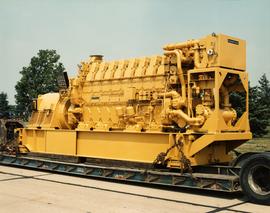
Photograph depicts large Caterpillar engine on flatbed. Road in foreground, trees in background. Accompanying note reads: "MTCE 4-01 (b) Cat 3612 Engine".
