2012.13.1.41.05
·
Item
·
2002
Parte de J. Kent Sedgwick fonds
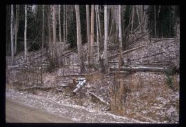
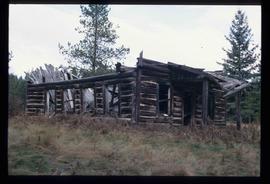
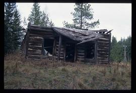
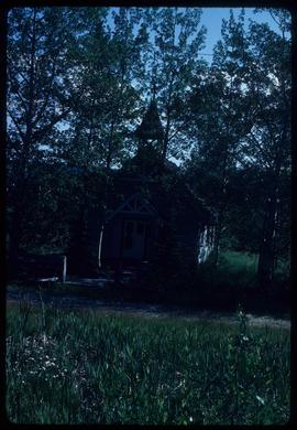
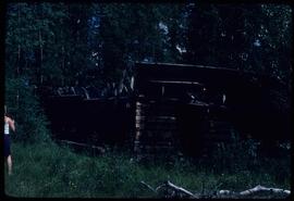
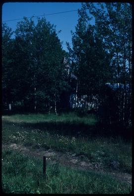
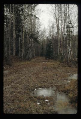
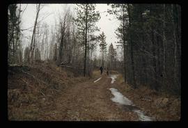
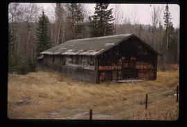
Image depicts a clearing through the woods, possibly an abandoned grade for the BCR. It is possibly located on Iron Road South, near Woodpecker B.C.