Photograph taken looking towards a "Y." Only the left or northside of the "Y" appeared to be in use and was only about half the length. A crosspiece of it was actually unusable.
1977 Wall calendar with picture of Elfi Schlegel on the cross beam in support of XOCES - Eagles School of Gymnastics in Weston, Ontario.
Cartoon style map of Edmonton with listings of activities and locations for Commonwealth games on the reverse of the map.
Optical disc holds a full CD version of the "www.BCRock.com" website. From the home page on the disc:
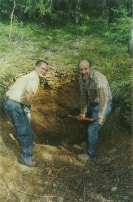
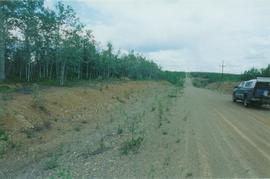
"In the Central Coast Regional District of British Columbia, near the town of Bella Coola, No Cents Holdings and Arthon Construction initiated a Federal and Provincial Environmental Assessment for the purposes of permitting a rock quarry, an expansion to an existing sand & gravel quarry and a marine loading facility.
Exclusive to the CD Version ..... A Quicktime movie Greening the Gravel
Also, some bonus information related to the project and activities.
We are pleased to report in a press release dated May 9, 2001, that the companies have entered into an agreement with Polaris Minerals Corporation that gives Polaris the right to become a joint venture partner in the Bella Coola Aggregates Project.
Nuxalk Nation General Election - Results from Wednesday, Mar. 7, 2001
Congratulations to Chief Anfinn Charles Siwallace and the new councillors .... M O R E
Three public Open Houses
have been held in the Bella Coola valley.
This site went live on October 12, 2000 and will remain a work in progress.
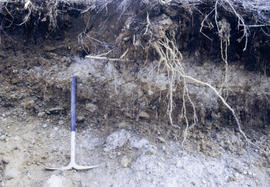
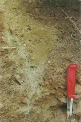
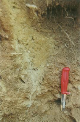
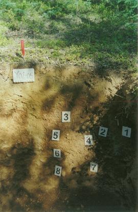
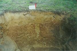
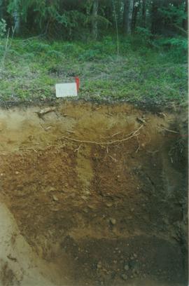
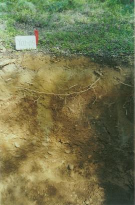
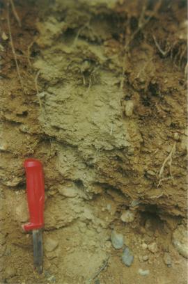
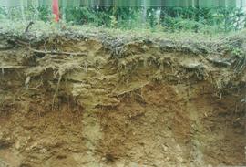
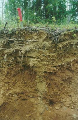
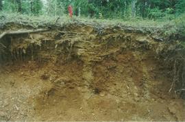
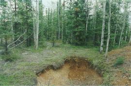
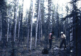
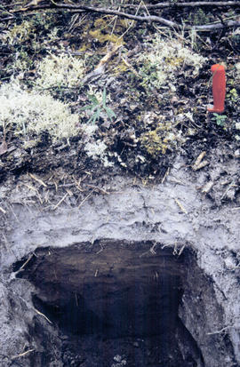
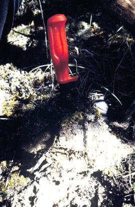
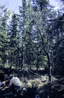
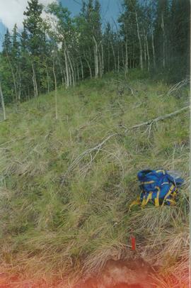
Here you may find reports, news, project descriptions, professionals reviews, process descriptions, economic impacts, environmental reviews, archaeological reviews, geotechnical and hydrologist input, and a great many photo tours of the area."
Image depicts a building in Wells, B.C. It possesses the letters "W.V.F.B." on it.
Photograph depicts a totem pole along a shoreline with canoes overturned at its base. A forested area is visible in the background. Pole is likely on the territory of the Wuikinuxv Nation, also known as the Oweekeno Nation whose traditional territory includes the shores of Rivers Inlet and Owikeno Lake. Annotation on recto of photograph states: "Indian Totem Pole, Rivers Inlet, B.C"
Image depicts an unknown individual pointing at some writing on a rock; it possibly reads "ACC Aug 10 1911."
Frontal detail of <i>Rosa</i> in fruit senescence
Photograph depicts the Wrinch Memorial Hospital. It held 54 beds and was founded by Dr. Winch for the benefit of the local First Nations population.
Photograph depicts wrecked sulphur cars parked in a pipe yard.
Image depicts Kent Sedgwick standing beside a wrecked plane somewhere in South Tweedsmuir Provincial Park.
Photograph depicts a 1920's model car that has been partially crushed. Handwritten annotation on verso reads, "This is the car that was wrecked at the Oak street crossing about the time you went north. One of the boy took my camera down and got it".
Photograph depicts a wreckage of a small airplane. The wreckage is adjacent to a home. Handwritten annotation reads, "same as above 1926". This photograph may depict the plane crash that occurred in October 1926 in which a Victoria-to-Seattle airmail plane piloted by Gerald Smith crashed into the home of Senator Robert F. Green on 502 Rupert Street in Victoria, BC.
Photograph depicts a wreckage of a small airplane. Handwritten annotation below the photograph reads, "wreck of an Airmail plane". This photograph may depict the plane crash that occurred in October 1926 in which a Victoria-to-Seattle airmail plane piloted by Gerald Smith crashed into the home of Senator Robert F. Green on 502 Rupert Street in Victoria, BC.
Fallen and opened double, red gall
Photograph depicts the 1945 Japanese war balloon chandelier with one bomb attached suspended in a tree, east of Fort Babine.
This reprint photograph depicts a 1945 Japanese war balloon chandelier with one bomb attached as well as Sergeant Smith east of Fort Babine beside the Japanese war balloon suspended in a tree.
Photograph depicts World Amateur Baseball Tournament 1990 in Edmonton.
Map depicts the Gulf of Alaska, Pacific Ocean, Chicagof Island, Baranof Island, Alaskan Boarder, Yukon Territory Boarder, Telegraph Creek, Dease Lake and "Mount Brook" along the Graham Inlet.