2007.1.25.6.28
·
Item
·
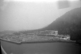
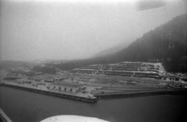
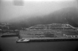
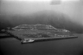
[between 1978 and 1988]
Part of Aleza Lake Research Forest fonds
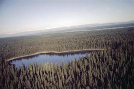
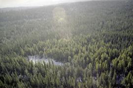
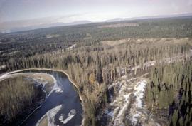
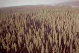
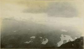
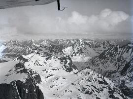
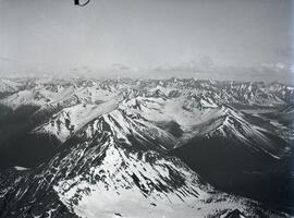
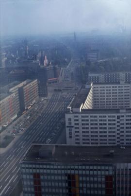
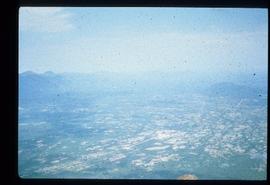
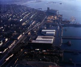
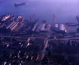
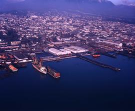
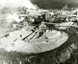
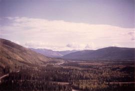
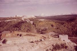
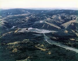
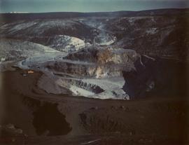
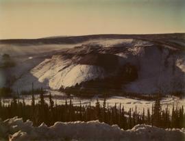
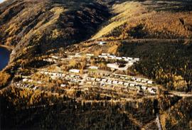
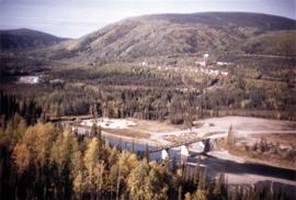
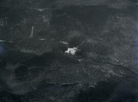
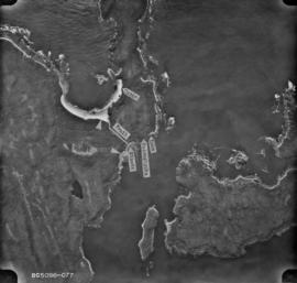
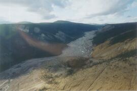
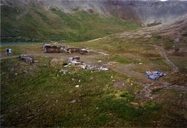
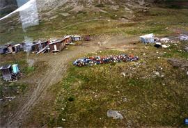
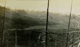
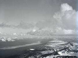
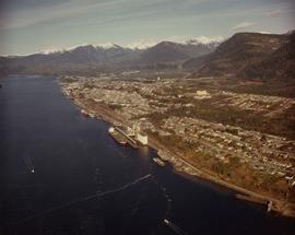
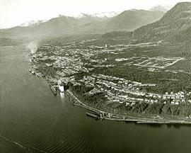
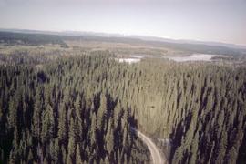
Photograph shows an aerial view of Aleza Lake Research Forest in spring season.