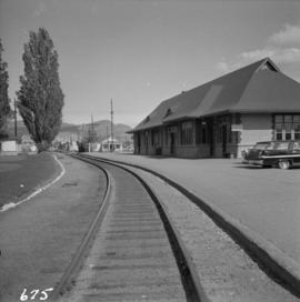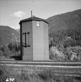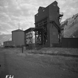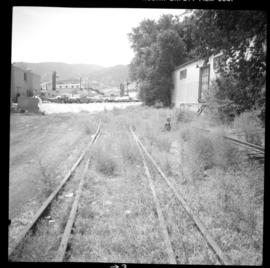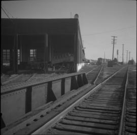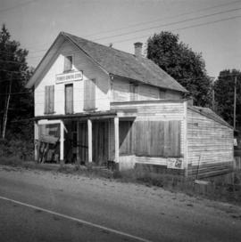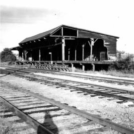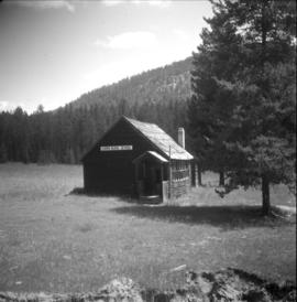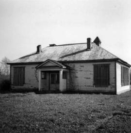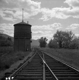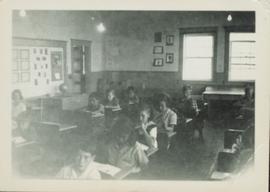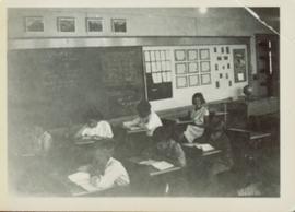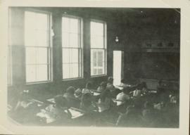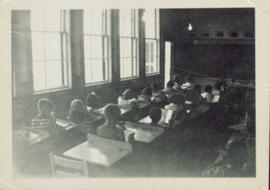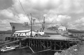
2013.6.36.1.078.02
·
Item
·
[July 1966]
Part of David Davies Railway Collection
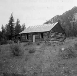
Photograph depicts a disused cabin that was perhaps abandoned in the late 1950's.