2009.6.13.45.17
·
Item
·
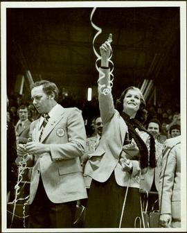
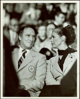
[between 1974 and 1979]
Part of The Honourable Iona Campagnolo fonds
Map depicts the jurisdictions of the various Indian treaties in existence in 1966, including the boundaries of: no surrenders, exempted-royal proclamation, no valid surrenders, land and hunting rights surrenders, and land surrender only. The whole of Canada is depicted in this map.
![Canada Land Inventory National Soil Survey [?] group portrait](/uploads/r/northern-bc-archives-special-collections-1/4/b/6/4b63620d93fd801efb07b2dd93008b6f63d5d340f359bdabe11106ae8bb04dbe/2020_4_8_2_005_142.jpg)