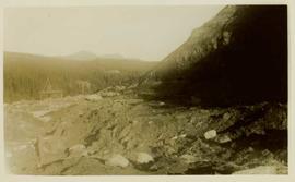
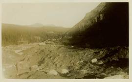
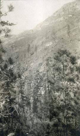
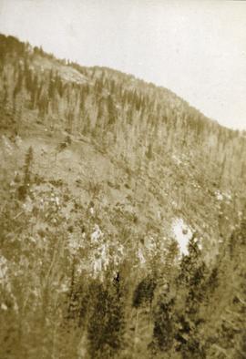
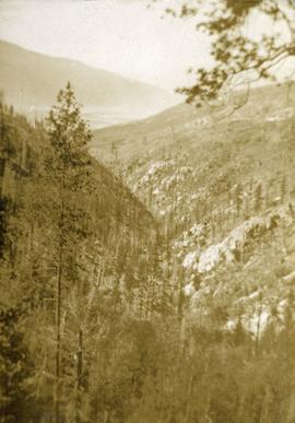
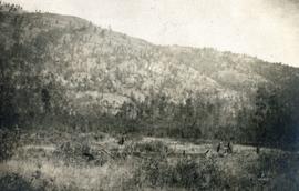
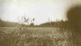
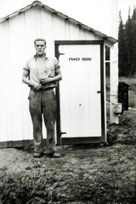
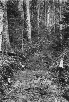
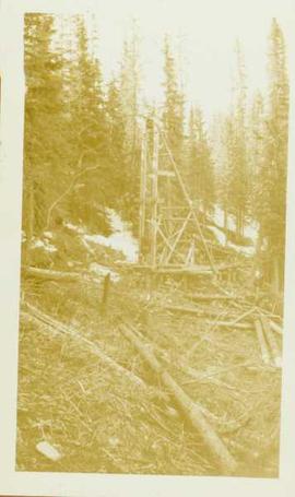
Unidentified mining excavation equipment (might be a type of drill) located in front of a forested landscape.
Photograph depicts three men panning in stream, sluiceway behind them. Rocky banks in foreground, forest in background.
Photograph depicts a open mining site at the base of a mountain, forested landscape visible in background and unidentified mining equipment visible in the midground.
This Ministry of Forests internal memorandum of 30 June 1997 from Paul Sanborn to Regional & Research Branch soil scientists provides comparison of Morgan's extractant and BaCl₂ for cations, using the 57 samples from the regional soil mineralogy study.
The key results from the study were later published as:
J.M. Arocena and P. Sanborn. 1999. Mineralogy and genesis of selected soils and their implications for forest management in central and northeastern British Columbia. Canadian Journal of Soil Science 79: 571-592. https://doi.org/10.4141/S98-07
Document prepared by P. Grilz contains species lists and UTM coordinates for 10 sampling locations for the M-K-2001-2002-81 Seed Project.
Large-format map depicts the Monkman Public Sustained Yield Unit (PSYU) east of Prince George.
Large-format map depicts the Monkman Public Sustained Yield Unit (PSYU) and Tree Farm Licence 30 east of Prince George.
Item is a photograph of a copy print, resulting in a low quality photographic reproduction. Reproduced as a print, slide, and a negative. Location of original photograph is unknown.
looking down steep forested valley.
Photograph depicts sparse vegetation near Grand Forks, BC
Photograph depicts a view of a hillside near Morrissey Creek near Grand Forks BC.
Photograph depicts a steep sparsely forested slope with a view to a wider valley beyond.
Photograph depicts a view looking toward the mountain top up a sparsely forested steep mountain slope.
Photograph depicts looking down Morrissey Creek Valley to Kettle River.
Photograph depicts looking down on a sparsely forested mountainside.
Item is an original "Mount Edziza Park Wildlife Report: An Argument for Nature Conservancy Status" report by W.G. Hazelwood, Parks Biologist. Includes original photographic prints pasted into the report. Also includes an accompanying "Mt. Edziza Wildlife Survey" from October 13, 1979.
Item is a photocopied "Mountain Goat Surveys in the Tatlatui, Spatsizi and Mt. Edziza Provincial Park Areas, British Columbia" report by David F. Hatler (Wildeor) and W.G. Hazelwood (Alpenglow Resources).
Photograph depicts a meadow in the foreground, trees in the midground and sparsely treed hills in the background.
Photograph depicts snowy mountain tops viewed from the forest and valley floor.
Photograph depicts a view looking across an expanse of water toward treed mountains with snowy peaks.
Photograph depicts an expanse of water, on the shore are low treed hills and snow peaked mountains in the distance.
Item is an original report by Grant Hazelwood entitled "Mt. Assiniboine Park Trip, August 19-22, 1974". Includes original print photographs pasted into the report. The objective was to sample the lakes fishery at the south and north ends of the park and to examine some grizzly bear habitat on the Simpson River and examine the condition of guiding cabins in the same area.
Photograph depicts looking across a muskeg meadow.
Photograph depicts a cannery on pilings with a body of water in the foreground with a forested area in the background.
Photograph depicts a cannery on wood pilings with several other buildings along a forested shoreline with a body of water and boat in the foreground.
Photograph depicts a narrow ocean passage between two rocky points. There are snow peaked mountains in the distance.
Item is a photocopied excerpt from an issue of "The Forestry Chronicle" entitled "Natural Reproduction Following Fires in Central British Columbia" by E.H. Garman.
Photograph depicts two men and a dog standing in a grassy field at Duck Creek in front of a forested landscape with a mountain range in the background.
Photograph depicts a view from the water looking toward buildings on the shore and mountains in the distance.
Photograph depicts two men standing on a snowy creek bank, freshly fallen snow is on the trees nearby.
Photograph depicts a view from the front of a canoe. A man is paddling from the stern, the river in the midground, rolling treed hills in the background.
Photograph depicts a view from a high hill, looking down on the Nechako river. There is forest and low rolling hills in the background.
Photograph depicts a view from a high hill looking down on the Nechako river. There is forest and low rolling hills in the background.
Photograph depicts a view of the Nechako River, BC.
Item is a photograph of a copy print, resulting in a low quality photographic reproduction. Reproduced as a print, slide, and a negative. Location of original photograph is unknown.
Prior to 1936, there was no electrical power at Aleza Lake.
Item is a photograph of a copy print, resulting in a low quality photographic reproduction. Reproduced as a print, slide, and a negative. Location of original photograph is unknown.
Item is a copyprint reproduced from the British Columbia Forest Service photographic records held at BC Archives.