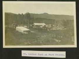
2013.6.36.1.003.099
·
Item
·
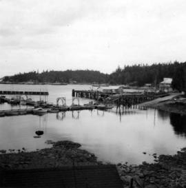
Apr. 1966
Part of David Davies Railway Collection
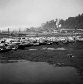
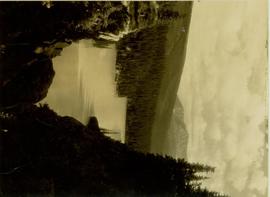
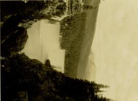
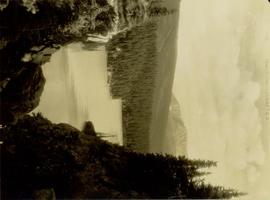
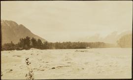
Photograph depicts Lund Harbour, looking north, 12 miles north of Powell River. It is the most northerly point on the mainland accessible by car, on this part of the coast. Lund is 92 car miles north of the ferry terminal at Langdale.