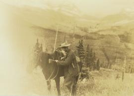
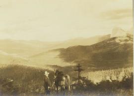
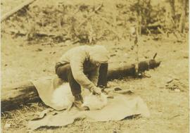
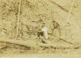
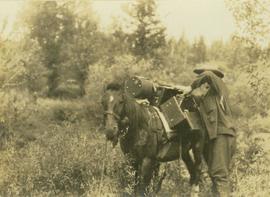
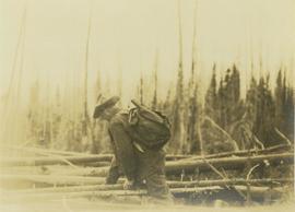
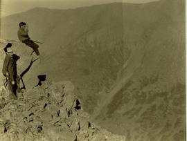
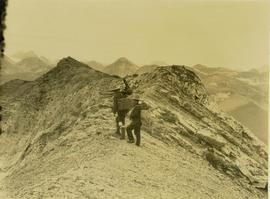
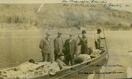
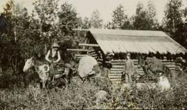
Showing 21337 results

Archival description
2008.2.1.10 · Item · 1924
Part of Northern BC Cartographic Collection

Colour-coded map depicting lands surveyed as alienated, reserved, and having a timber license, lease, or sale. Depicts land recording divisions, land district boundaries, communities, bodies of water, and transport routes. Includes insets of Stephens Island and Egeria Reach.

2008.2.1.09 · Item · 1 December 1923
Part of Northern BC Cartographic Collection

Colour-coded topographic map depicting lands surveyed as alienated, reserved, or statutory timber land. Depicts land district boundaries, land recording divisions, HBC posts, triangulation stations, telephone lines, communities, bodies of water, and transport routes. Defines resource type areas (“Land Form,” “Soil,” “Forest Cover,” “Grazing,” “Geological & Mineralogical,” “Fur-Bearing Animals & Game”). Includes explanatory “Natural Resources Reference.”

2008.2.1.15 · Item · 1929
Part of Northern BC Cartographic Collection

Colour-coded map depicting surveyed lands respectively open and closed to preemption. Depicts land recording divisions, land district boundaries, government reserves, communities, bodies of water, and transport routes. Includes topographical inset.

2008.2.1.13 · Item · 1926
Part of Northern BC Cartographic Collection

Colour-coded map depicting surveyed lands alienated, reserved, in B.C. Land Settlement Board Area, or open for preemption. Depicts land districts, land recording divisions, communities, bodies of water, transport routes, and communication lines.

2008.2.1.08 · Item · 15 February 1923
Part of Northern BC Cartographic Collection

Colour-coded map depicting lands surveyed as alienated, reserved, Statutory Timber Lands, B.C. Land Settlement Board Area, or open for pre-emption. Depicts land districts, land recording divisions, communities, game reserves, bodies of water, transport routes, and communication lines.

Powerline
2012.13.1.3.037 · Item · Nov. 1977
Part of J. Kent Sedgwick fonds

Image depicts power lines east of the pulp mills in Prince George, B.C.

2013.6.36.1.063.08 · Item · Nov. 1968
Part of David Davies Railway Collection

Photograph depicts the "Powell River Queen" of the B.C. Ferries. It was just arriving at the slip in Earl's Cove after it had just made an 8 mile trip from Saltery Bay. It had been built in Victoria in 1965. Capacity held 50 cars and 250 passengers.

Pouring Ribs at Crusher Site
2000.1.1.2.03.02 · Item · 29 June 1964
Part of Cassiar Asbestos Corporation Ltd. fonds

Handwritten annotation on recto of photograph: "POURING RIBS JUNE 29/64." Photograph depicts construction workers on large wooden framework structure extending from base of crusher building. Ladders stand parallel to structure against mountainside. The boom of a crane is visible in foreground. Miscellaneous construction equipment and materials throughout.