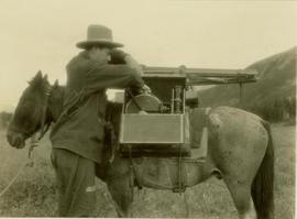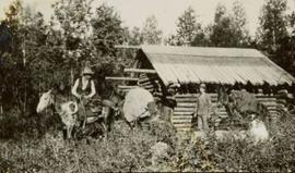
2000.19.2.146
·
Item
·
29 Aug. 1927-26 Sept. 1927
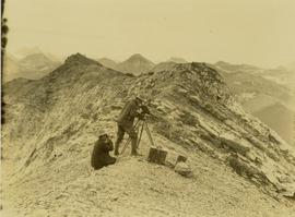
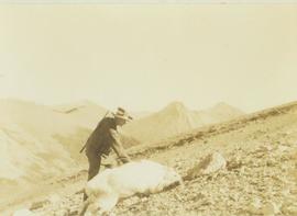
Part of Prentiss Gray Collection
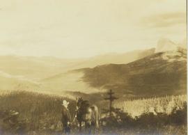
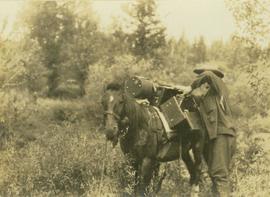
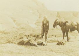
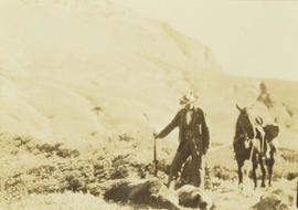
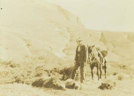
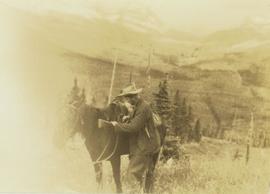
Photograph depicts Prentiss Gray standing with his rifle and horse in a grassy field. In the background a forested valley and snow-covered mountain range is visible.