2009.5.2.281
·
Item
·
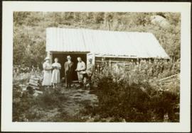
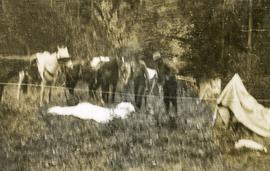
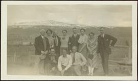
[ca. 1940]
Part of Taylor-Baxter Family Photograph Collection
Group of eleven men and women stands and kneels in front of fence, field and hills in background. Sarah stands fourth from left, Bert stands on far right. Handwritten annotation on recto of photograph: "Murphy's place ATLIN." Similar group also featured in items 2009.5.2.274 - 2009.5.2.294.