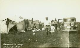
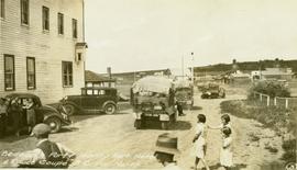
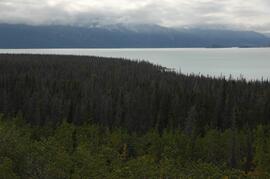
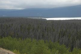
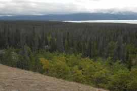
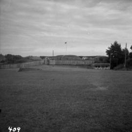
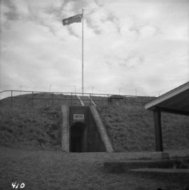
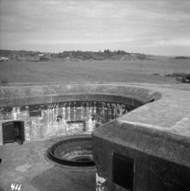
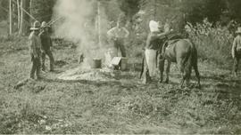
Annotation on recto: "C-08431" which denotes the same photograph in the collection of the BC Archives.
Annotation on recto: "Bedeaux in camp at Gundy, B.C." Photograph depicts a man (Charles Bedaux?) standing amongst tents and a car.
Annotation on recto: "Bedeaux party saying au revoir outside Hart home at Pouce Coup" Photograph of seven men and women standing beside a loaded vehicle parked in front of a house. Charles Bedeaux if third from the right.
Annotation on recto: "Bedeaux's Party camped at Gundy, B.C." Photograph depicts tents men standing amongst tents and supplies.
Annotation on verso: "Bedeaux's Party leaving Hart Hotel and Pouce Coupe, B.C. for North"
Annotation on verso: "Pouce Coupe, B.C."
Image depicts an esker at Bednesti Lake, B.C.
Image depicts a man in a yellow cap who appears to be blowing smoke into a bee colony at a bee farm. It appears to be an educational demonstration.
Image depicts a bee-hive burner beside a rail-road track at an unidentified mill somewhere in Prince George, B.C.
Detail of bee in seeking nectar in the flower head of an Alaskan wildflower
<i>Solidago</i>
<i>Trifolium pratense</i>
Image depicts a beehive burner, as well as rail road tracks, at an unknown location.
Image depicts a Beehive Burner along the Nechako on River Road. Map coordinates 53°55'34.1"N 122°44'58.0"W
Image depicts a Beehive Burner along the Nechako on River Road. Map coordinates 53°55'34.1"N 122°44'58.0"W.
Flood waters surround beehive burner, Northern British Columbia
Photograph depicts a beehive burner at Brownsville Sawmills Ltd. On Olson St. in south Westminster, Surrey. It is on the banks of the Fraser River just below the Patullo Bridge.
Image depicts a Beehive Burner along the Nechako on River Road. Map coordinates 53°55'34.1"N 122°44'58.0"W
Photograph depicts large group of men gathered outside large building with the sign "WHITEHORSE GRILL".
Handwritten photo album caption below this photo reads: "Dawson Creek BC / 1943 Beer Ration Day".
Videotape contains footage of: 17-Sep-07 - Beetlewood concrete with Ian Hartley and Sorin Pasca - 22-Sep-07 - Soccer with Gale Russell; aerial
Winter perspective, Northern British Columbia
Foreground shows two rocky shores covered in dirt and wood debris, connected by a barely visible bridge. Annotation on recto reads: "Before the Blast Apr. 24th 13"
Photograph depicts the downtown area in which prior to 1998, the CNR had a loop. It ran west beside Clement and after crossing over Ellis, turned north for a couple of blocks, then turned east, back over Ellis, and along Recreation Street and Weddell.
Photograph depicts a shallow ditch cut into rocky terrain that leads through a forested landscape.
Nunavut
Underside of <i>Dryas octopetala</i> in flower, Bathurst Inlet, Nunavut
The item is a photograph depicting the church bell at the original Knox United Church built in 1922, located at the corner of Brunswick Street and 5th Avenue, Prince George.
Bell Rock - rocky outcrop, Northwest Territories
Photograph depicts a church and unidentified building with a large fenced yard in the foreground. Annotation on verso of photograph states: "Bella Bella Church"
Photograph depicts the interior of a church decorated with white streamers. Annotation on verso states: "Canada, B.C., Indian(?) Bella Bella Church decorated for Christmas by Indian "decoration""
Photograph depicts a First Nations cemetery built on a rocky shoreline.
Item is an original copy of the 1996 "Bella Coola Local Resource Use Plan" prepared for BC Ministry of Forests, Mid Coast Forest District.
Image depicts Bellos Road, most likely in Red Rock, B.C.
Photograph depicts Belmont Park Fort on the west side of Esquimalt Harbour. It was built by the British Royal Engineers in 1895 to protect the naval base. Photo shows the lower fort with 2 gun emplacements.
Photograph depicts the entrance to the magazine feeding gun emplacement in the lower fort of Belmont Park Fort in Esquimalt Harbour.
Photograph depicts one of the 2 gun emplacements in the lower fort of Belmont Park Fort protecting Esquimalt Harbour.