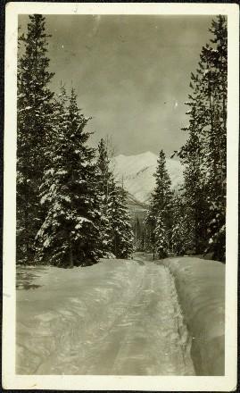
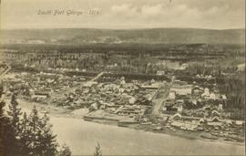
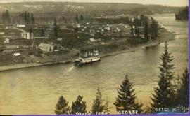
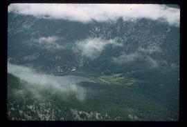
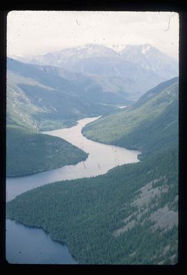
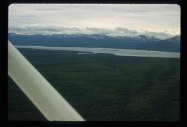
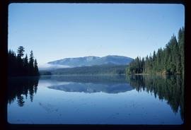
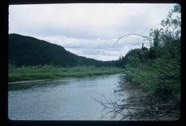
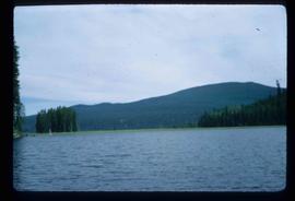
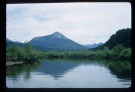
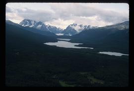
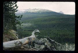
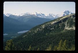
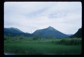
Photograph depicts snow covered mountain peaks seen through a mountain pass near Jasper Park.
Image depicts a snow-covered road at an uncertain location.
Image depicts Snowpeak above Longsworth B.C.
Image depicts a road covered in snow running through the woods at an uncertain location.
Image depicts a snowy road at an uncertain location.
Image depicts a snow-covered road with vehicle tracks, and several houses. The location is uncertain.
Mountains visible in background.
Photograph depicts a snow-covered mountain slope with trees at the base of the mountain.
Image depicts a bridge at Soda Creek, B.C. There are numerous unknown individuals present.
Image depicts rail road tracks through a forest, as well as a river; located in Soda Creek, B.C.
Image depicts a forest and river in Soda Creek, B.C.
Image depicts the ferry at Soda Creek, B.C.
Image depicts what appears to be a Ranch at Soda Creek, B.C.
Image depicts a section of land, with a few houses, in Soda Creek, B.C.
Image depicts the cutbanks of the Fraser River at Soda Creek, B.C.
Photograph depicts a view of a small village near a river, a narrow dirt road boarders the river.
Photograph of a vessel filled with lumber just off the coast of a shore also littered with lumber. Mountains are barely visible in the background.
Overhead view of downtown Prince George with a forested area in the background. Printed annotation on recto reads: "South Fort George- 1914."
Photograph depicts scattered buildings, an outhouse, and tents on a rough clearing. A river and its cutbacks are in the background.
Lofty view of stern wheeler in river. Scattered buildings and tents in background. Printed annotation on recto reads: “South Fort George Oct 30th 1910”
Image depicts an aerial view of a chain of lakes in South Tweedsmuir Provincial Park.
Image depicts an aerial view of South Tweedsmuir Provincial Park.
Image depicts a view of South Tweedsmuir Provincial Park.
Image depicts an aerial view of South Tweedsmuir Provincial Park.
Image depicts a lake and mountain somewhere in South Tweedsmuir Provincial Park.
Image depicts an aerial view of a lake in South Tweedsmuir Provincial Park.
Image depicts an aerial view of South Tweedsmuir Provincial Park.
Image depicts a view of South Tweedsmuir Provincial Park. An unidentified man stands on the side of the image.
Image depicts an aerial view of a "glaciated valley" in South Tweedsmuir Provincial Park. Glacier Mountain is present in the image.
Image depicts an aerial view of Glacier Mountain in South Tweedsmuir Provincial Park.
Image depicts an aerial view of what is likely Glacier Mountain in South Tweedsmuir Provincial Park. The two lakes present are possibly Vista and Junker.
Image depicts an aerial view of South Tweedsmuir Provincial Park. The lake is possibly Lonesome Lake.
Image depicts an aerial view of a lake in South Tweedsmuir Provincial Park. It is possibly Lonesome Lake.
Image depicts an aerial view of what is likely Turner Lake in South Tweedsmuir Provincial Park.
Image depicts Southbank, B.C.
Image depicts Spectacle Lake.
Image depicts the river channel leading to the Spectacle Lakes.
Image depicts a mountain in the distance, and the river channel leading to the Spectacle Lakes.
Image depicts mountains, taken from the river channel leading to the Spectacle Lakes.
Image depicts a man, most likely Kent Sedgwick, using what appears to be some type of a spigot on a tree.
Image depicts a spiky rock formation at an uncertain location.