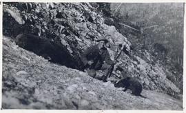
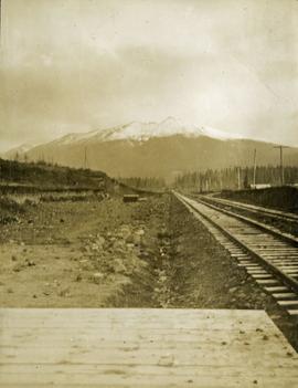
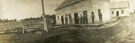
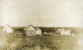
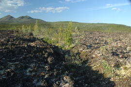
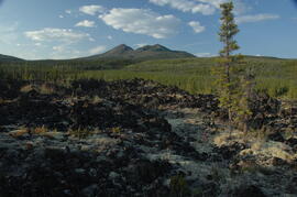
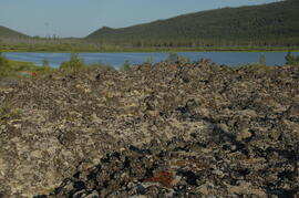
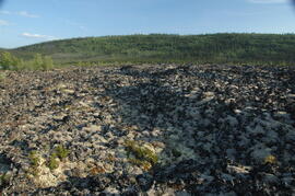
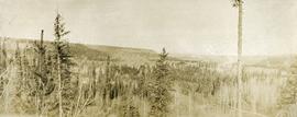
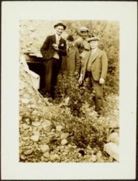
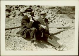
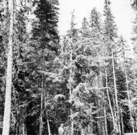
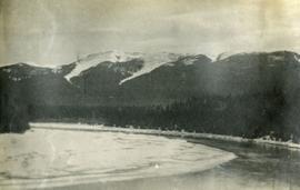
Print preview Close

Showing 3101 results

Archival description
2636 results with digital objects Show results with digital objects
2009.5.2.59 · Item · [ca. 1930?]
Part of Taylor-Baxter Family Photograph Collection

Photograph depicts power plant by waterfall. Extensive construction materials and structures can be seen scattered to left of plant. River in foreground, forest and hills in background. Typed annotation on verso of photograph: "Northern B.C. Power Co. Falls River Plant Prince Rupert B.C."

Holts Ranch
2014.10.1.151 · Item · 1911
Part of Arthur Holland Land Surveying Collection
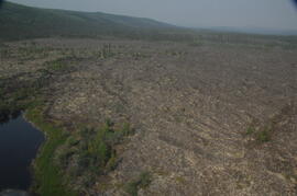
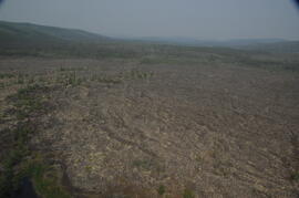
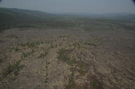
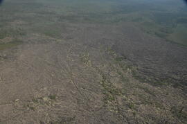
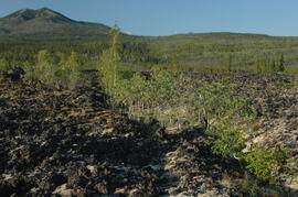
Photograph depicts a cluster of log buildings with fences and corrals. A field in the foreground, trees and low hills in the distance. On the road from Quesnell to Fraser Lake 1911.

2023.7.3.83 · Item · Apr. 1992
Part of Grant Hazelwood fonds

Item is an original report entitled "Highway 16: Exchamsiks River to Andesite Creek - Environmental Impact Assessment and Mitigation Recommendations". Includes 3D glasses for viewing 3D printed images inside the report. Also includes an accompanying memorandum from the Ministry of Transportation and Highways regarding meeting notes from an environmental impact meeting in relation to the report.

2000.1.1.3.19.101 · Item · [ca. 1975]
Part of Cassiar Asbestos Corporation Ltd. fonds

Photograph depicts the West Peak of the Cassiar mine on McDame Mountain. Pit area visible between West Peak and road in foreground. Mine valley and north mountain range in background. Photo speculated to have been taken from a point on or near the South or North Peak.