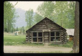
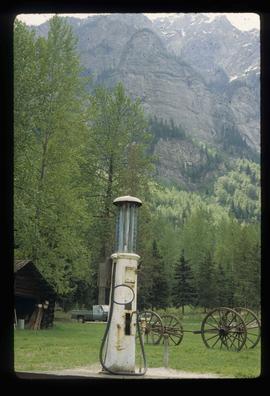
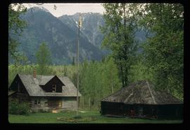
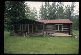
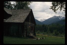
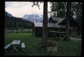
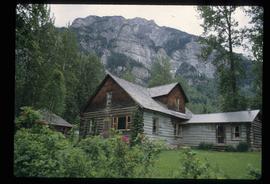
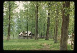
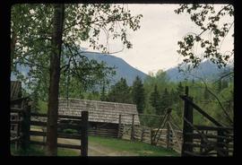
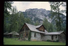
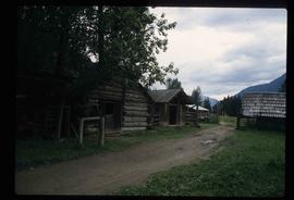
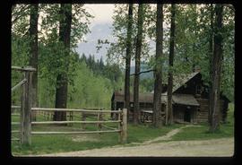
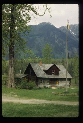
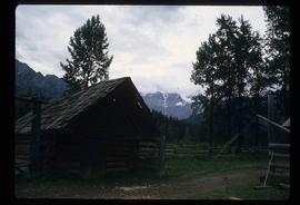
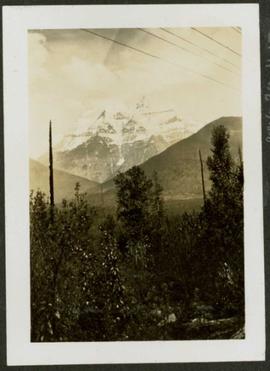
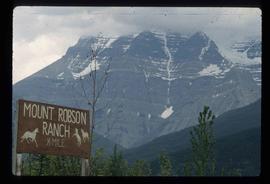
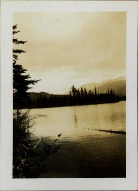
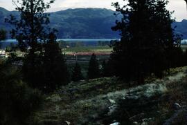
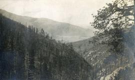
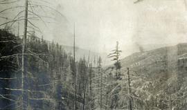
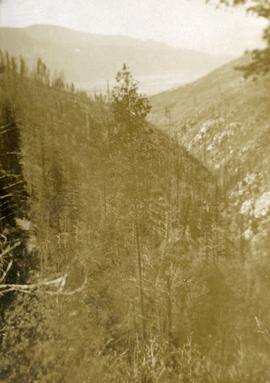
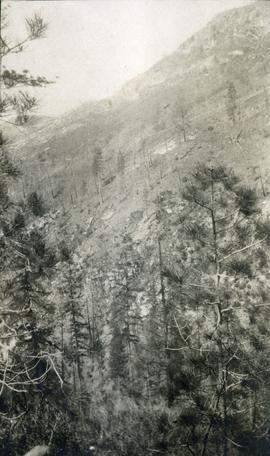
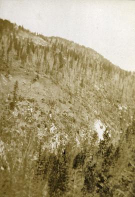
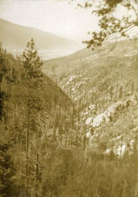
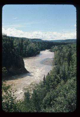
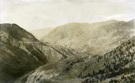
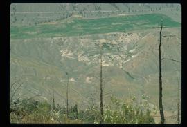
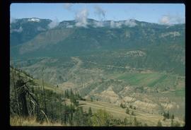
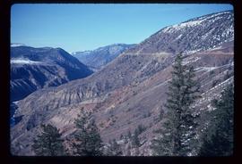
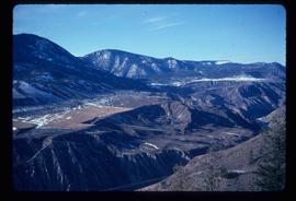
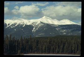
Image depicts a mountain at an uncertain location.
Image depicts the old trading post at Mount Robson Ranch.
Image depicts an old gas pump at the Mount Robson Ranch.
Image depicts the Mount Robson Ranch.
Photograph depicts the snowy peak of Mt. Robson in distant background. Trees and power lines in foreground, two smaller hills cross mid ground. Handwritten photo caption below photograph reads: "Mount Robson B.C. Jasper Park - June 1923."
Image depicts Mount Robson while en route to Mount Robson Ranch in B.C.
Photograph depicts a large body of water, with trees on opposite bank crossing mid ground. Mountains visible in distant background. Handwritten photo caption below photograph reads: "Mount Edith Cavell."
Slide depicts orchards surrounding Mount Boucherie. The Okanagan Lake and mountains can be seen in the background. Original slide index description: "Orchards & sunflowers from Mt. Boucherie."
Photograph depicts looking down Morrissey Creek Valley to Kettle River.
Photograph depicts looking down on a sparsely forested mountainside.
looking down steep forested valley.
Photograph depicts sparse vegetation near Grand Forks, BC
Photograph depicts a view of a hillside near Morrissey Creek near Grand Forks BC.
Photograph depicts a steep sparsely forested slope with a view to a wider valley beyond.
Photograph depicts a view looking toward the mountain top up a sparsely forested steep mountain slope.
Image depicts the Bulkley River running through Moricetown Canyon.
Image depicts a church on a hill in Moricetown, B.C.
Image depicts a few old buildings, as well as several unknown individuals somewhere in Moricetown, B.C.
Photograph depicts a view of the Fraser River, scrub land, and mountains in the Moran Canyon area near Lillooet.
Image depicts an old earth flow in Moran Canyon, somewhere in the Lillooet area.
Image depicts the Fraser River running through the Moran Canyon near Lillooet, B.C.
Image depicts a view of Moran Canyon in the Lillooet area. The Fraser River is visible on the left.
Image depicts the Fraser River running through the Moran Canyon near Lillooet, B.C.
Image depicts a view of Moran Canyon in the Lillooet area.
Image depicts the Fraser River running through the Moran Canyon near Lillooet, B.C.
Image depicts the Moran Canyon near Lillooet, B.C.
Image depicts what is possibly the Fraser River running through the Moran Canyon near Lillooet, B.C.
Image depicts the Moran Canyon; the Fraser River is visible near the bottom.