2012.13.1.86.29
·
Item
·
[1976?]
Part of J. Kent Sedgwick fonds
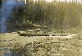
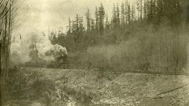
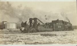
Image depicts the CN Railway and Station at Goat River, B.C.