2019.11.09
·
Item
·
1945
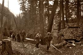
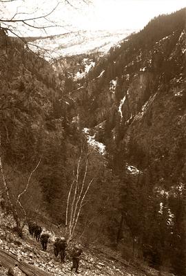
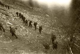
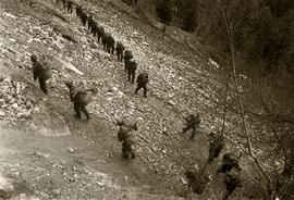
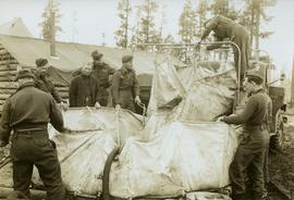
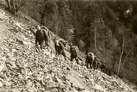
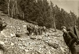
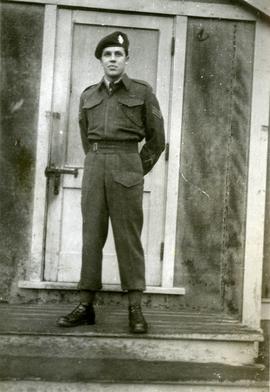
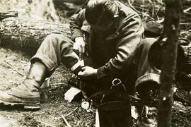
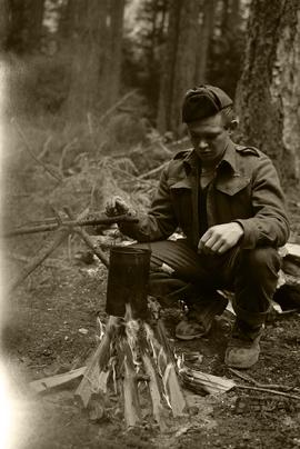
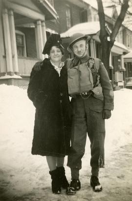
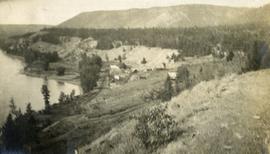
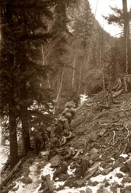
Part of World War II Polar Bear Training Exercise Photograph Collection
Photograph depicts soldiers trekking uphill with pack horses in mountainous terrain between Bella Coola and Anahim Lake during the WWII Polar Bear training exercise.