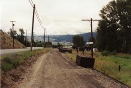
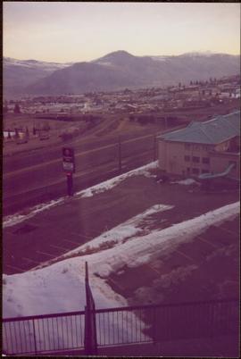
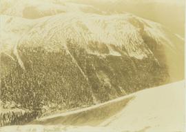
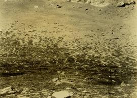
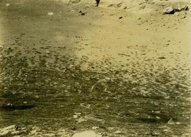
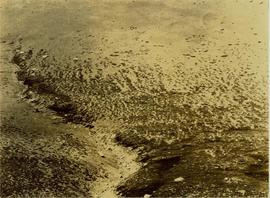
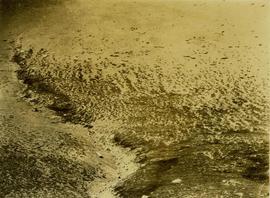
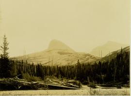
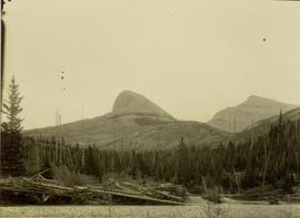
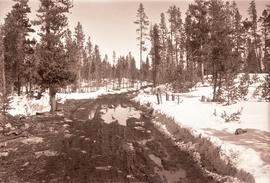
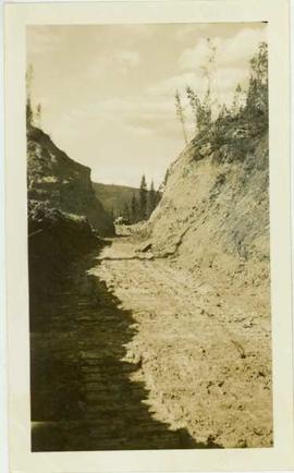
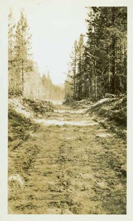
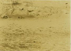
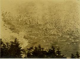
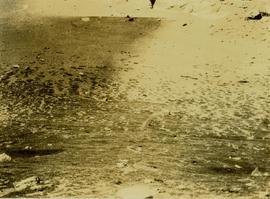
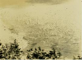
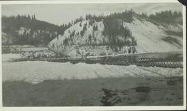
Image depicts a dirt road and a possibly abandoned building at an uncertain location.
Photograph depicts a dirt road between Bella Coola and Anahim Lake utilized for transport during the WWII Polar Bear training exercise.
Photograph depicts a dirt road cut between two highbanks with a oil cans (?) stacked in the background between the banks.
Photograph depicting a dirt road winding between grass and trees in Soda Creek.
Photograph depicts a dirt road through a forested landscape.
Image depicts a dirt road leading through a forest.
Image depicts a dirt road leading through a forest with what appears to be an area for turning around at the end.
Photograph depicts dirt tracks in a field in front of a body of water.
on reverse of photograph: "Sydney - 'Amstelveld' No. 4 Hold. Slinging dismantled fork truck into hold by ships gear."
Photograph depicts the dismantling of the KVR Spences Bridge to Penticton. Mileages are those established by the CPR sometime between 1955 and 1965.
Photograph depicts a display item in front of the office of the Nelson Machinery Co. Ltd. located on 1255 Welch St. in North Vancouver. It is a rock car on a 2 ft. gauge track.
Consists of 1 unpublished paper entitled "Disposition of Surviving Children of Parents Deceased from AIDS," presented at the 10th International Conference on AIDS, Yokohama, Japan, 7-12 August 1994.
Photograph depicts a distance perspective of an unidentified man standing in a large ditchline that runs through a forested landscape.
Opposite shore in background.
Photograph features Terrace Gardens.
Photograph depicts a distance view of tree covered mountain slopes in winter.
Photograph depicts a distant mountain range visible over a forested slope. The location of photo is between Wapiti Lake and Red Deer Valley.
Photograph depicts a tree-covered valley with a snow-covered mountain range in the background. The location of photo is between Wapiti Lake and Red Deer Valley.
Location also identified as lower falls, Red Deer River
Photograph depicts a distant river running through a forested mountainous landscape.
Photograph depicts a snowy plateau with a distant snow-covered mountain range in the background and coniferous trees in the foreground.
Photograph depicts a distant snow-covered mountain range with evergreen trees in the foreground.
Part of a set of 41 original black & white photographs [1908-1933-?]) of the Grand Trunk Pacific Railway line in BC depicting surveying crews, town sites (Prince Rupert and its port, Hazelton and Fort George), and First Nations Peoples.
Photograph depicts settlement across frozen lake. Trees cross midground, mountains stand in background. Handwritten annotation on verso of photograph reads: "Distant view of Tete Jaune B.C.", on recto of photograph: "I marked about where you loaded your boat the telephone pole is down the road toward 53. Tete Jaune Mile 52."
The map depicts the distribution locations and transportation routes for the processing of mineral and petroleum in British Columbia.
Map includes an annotated line indicating the city limits and the crown land surrounding the village of Kitimat.