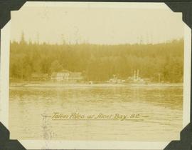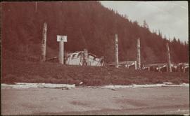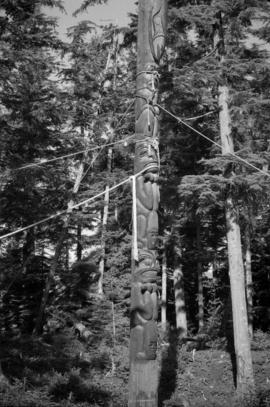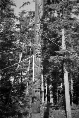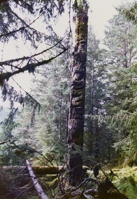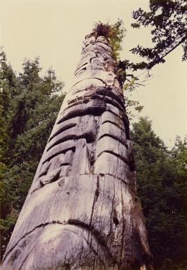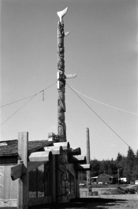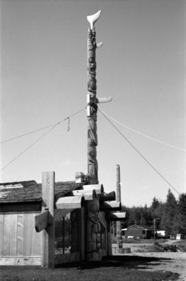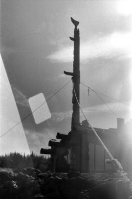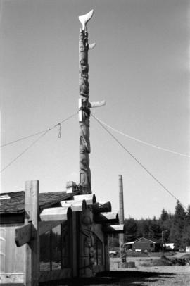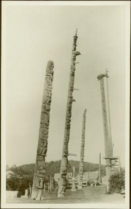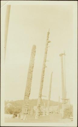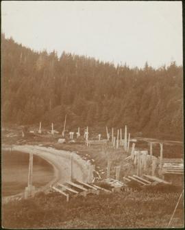
2009.7.1.099
·
Item
·
[ca. 1876 - ca. 1920]
Part of Archdeacon W. H. Collison fonds
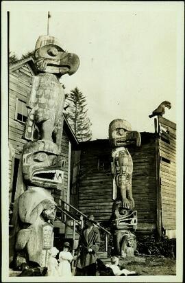
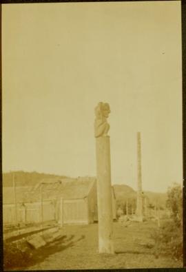
Totem poles (crest poles?) stand in front of remains of wood structures built along sandy shore. View from above, forest on hill in background.
Handwritten annotation on verso reads: "[? illegible] Deserted village West Coast QCIs."