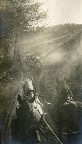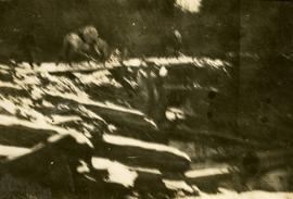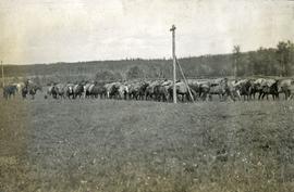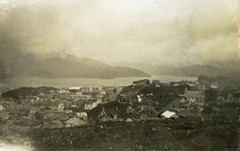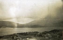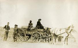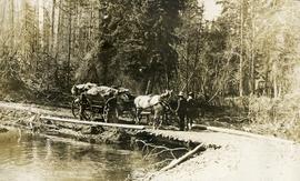
2014.10.1.032
·
Item
·
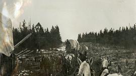
1909
Part of Arthur Holland Land Surveying Collection
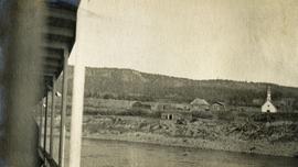
Photograph depicts two freighting stages passing. View is from atop one of the stages.