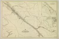
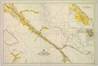
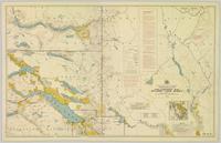
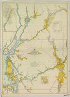
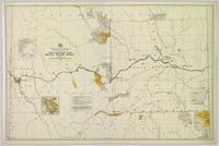
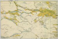
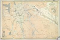
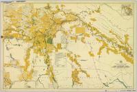
Map depicting surveyed lands, statutory timber lands, land recording divisions, game reserves, communities, bodies of water, and transport routes. Includes inset of McBride townsite.
Colour-coded map depicting surveyed lands respectively open and closed to preemption. Depicts land recording divisions, game reserves, communities, bodies of water, and transport routes. Includes inset of McBride townsite.
Colour-coded map depicting lands open for preemption, in “University Reserve,” or reserved for public auction. Depicts land recording divisions, communities, bodies of water, and transport routes.
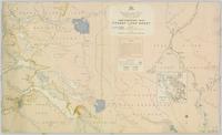
Colour-coded topographic map depicting lands surveyed as alienated, reserved, or statutory timber land. Depicts land district boundaries, land recording divisions, HBC posts, triangulation stations, telephone lines, communities, bodies of water, and transport routes. Defines resource type areas (“Land Form,” “Soil,” “Forest Cover,” “Grazing,” “Geological & Mineralogical,” “Fur-Bearing Animals & Game”). Includes explanatory “Natural Resources Reference.”
Colour-coded map depicting surveyed lands respectively open and closed to preemption. Depicts land recording divisions, land district boundaries, government reserves, communities, bodies of water, and transport routes. Includes topographical inset.
Colour-coded topographic map depicting lands surveyed as alienated, reserved, or open to preemption. Depicts land districts, land recording divisions, communities, bodies of water, communication lines, and transport routes.
Colour-coded map depicting surveyed lands alienated, reserved, in B.C. Land Settlement Board Area, or open for preemption. Depicts land districts, land recording divisions, communities, bodies of water, transport routes, and communication lines.
Colour-coded map depicting lands open for pre-emption, lands in “University Reserve,” and lands reserved for public auction. Depicts land recording divisions, communities, bodies of water, transport routes, and game reserves.
Colour-coded map depicting lands surveyed as alienated, reserved, Statutory Timber Lands, B.C. Land Settlement Board Area, or open for pre-emption. Depicts land districts, land recording divisions, communities, game reserves, bodies of water, transport routes, and communication lines.
Item is an original wildlife section report by R.W. Ritcey entitled "Predators in Wells Gray Park 1950-1956".
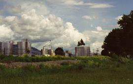
Image depicts power lines east of the pulp mills in Prince George, B.C.
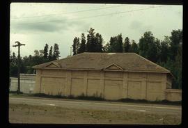
Image depicts a powerhouse in Prince George, B.C.
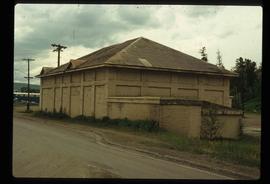
Image depicts a powerhouse in Prince George, B.C.
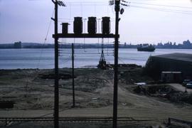
Photograph depicts power poles by the site of the Cassiar Asbestos Corporation's new wharf.
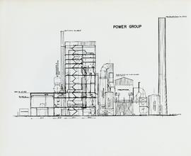
Item is a labeled diagram of the power group at a mill.
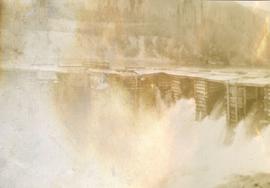
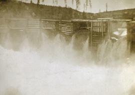
Photograph depicts a power dam near Cascade, BC.
Photograph depicts a power dam near Cascade, BC.
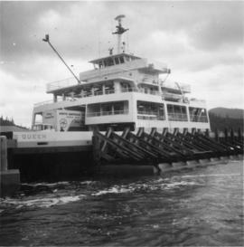
Photograph depicts the "Powell River Queen" of the B.C. Ferries. It was just arriving at the slip in Earl's Cove after it had just made an 8 mile trip from Saltery Bay. It had been built in Victoria in 1965. Capacity held 50 cars and 250 passengers.
Handwritten annotation on recto of photograph: "POURING RIBS JUNE 29/64." Photograph depicts construction workers on large wooden framework structure extending from base of crusher building. Ladders stand parallel to structure against mountainside. The boom of a crane is visible in foreground. Miscellaneous construction equipment and materials throughout.
Photograph depicts Pounder Emulsions Ltd. which received bitumens and distributed them to blacktop plants from April till October.
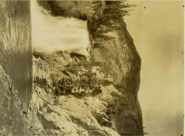
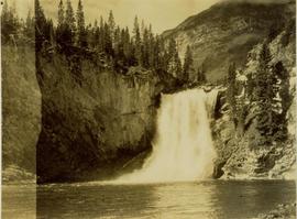
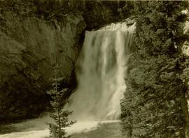
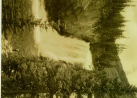
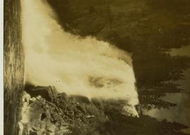
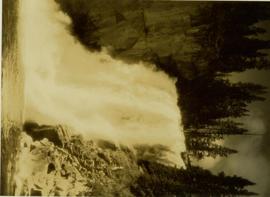
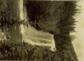
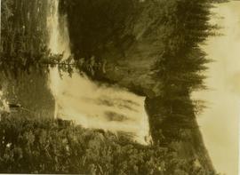
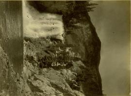
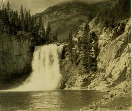
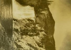
Also identified as lower falls, Red Deer River.
Also identified as lower falls, Red Deer River.
Location also identified as lower falls, Red Deer River
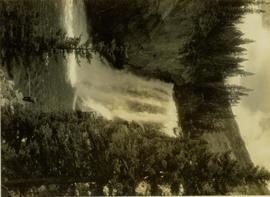
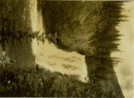
Location also known as lower falls on Red Deer River.
Location also known as lower falls on Red Deer River.
Location also known as lower falls on Red Deer River.
Location also known as lower falls on Red Deer River.
Location also known as lower falls on Red Deer River.
Location also known as lower falls on Red Deer River.
Location also known as lower falls on Red Deer River.
Location also known as lower falls on Red Deer River.
Location also known as lower falls on Red Deer River.
Location also known as lower falls on Red Deer River.
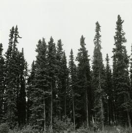
Caption describing photograph: "Potentially commercial Black Spruce stand. Fully developed peat (3-8') over impervious clay. Ledum B. Glandulosa. Mile 3 Hart Highway. Ht 55', 5-10" DBH. Age 85 years. Frames 1-5"
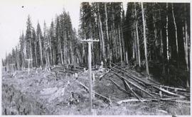
Annotation on photograph verso: "South of plots 27, 21. 15/1/92. (Post-logging). Summit Lake Selection Trial"
Annotation on photograph verso: "South of plot 27, N of 18, 20. 15/1/92. Post-logging. Summit Lake Selection Trial"
Annotation on photograph verso: "View south of unit 27 Post-logging. 15/1/92. Summit Lake Selection Trial"
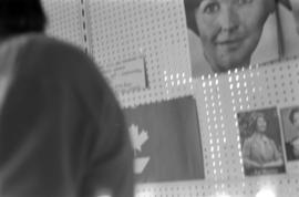
Photograph depicts posters of Iona Campagnolo at the grand opening of her Liberal office in Terrace.
Photograph depicts posters of Iona Campagnolo at the grand opening of her Liberal office in Terrace.
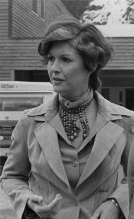
Photograph depicts MP Iona Campagnolo, likely in northern British Columbia at an unknown location. Probably a promotional postcard.
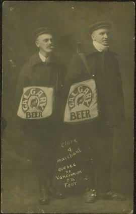
Photograph depicts two men posed with "CALGARY BEER" bags slung over shoulders. Handwritten annotation on verso of photograph: "Clark & Marchant Quebec to Vancouver on Foot", on recto: "To H F Glassey With Every Good wish. from Leo Marchant. Pearson's Magazine 1909."
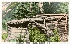
Postcard depicts a log house called the Christmas Tree House in Cassiar.
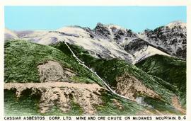
Postcard depicts the mine and ore chute on McDame Mountain as part of Cassiar Asbestos Corporation Limited.
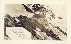
Postcard title "A Remarkable Photo of Ptarmigan in their Wild State"
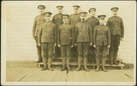
Photograph depicts 9 soldiers posed in uniform on steps. Wooden boardwalk in foreground, side of building in background. Handwritten annotation on recto of photograph: "Like the Country over here but it is very wet at present have you been around the ranch lately, would have come home, but we had to leave in a hurry hope to see you all well when I come back how are the fruit trees looking, let me have all the news. Yours Truly [Pete?] G Williamson 63rd B Battalion No 464284 Army Post Office London England." Photograph speculated to have been sent to H.F. Glassey or his family.
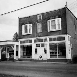
Photograph depicts the post office, store, and gas pump in Clayburn, north of Abbotsford, B.C.
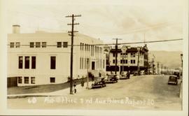
Street view of Third Avenue in Prince Rupert. Printed annotation on recto reads: "60 Post office 3rd Ave Prince Rupert BC."
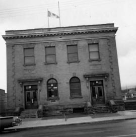
Photograph depicts a post office on Main St. in Cumberland on Vancouver Island. It was built in 1907 in a similar style to the building in Ladysmith.
