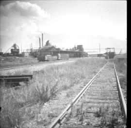
2013.6.36.1.028.31
·
Item
·
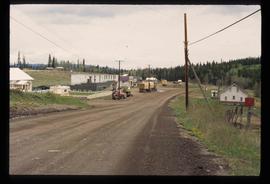
Aug. 1983
Part of David Davies Railway Collection
Photograph depicts the Creston Sawmills Ltd on the CPR line. Here the southern BC CPR mainline passes through the center of trackage, looking eastbound. A chip car is on the spur directly leading from the camera.